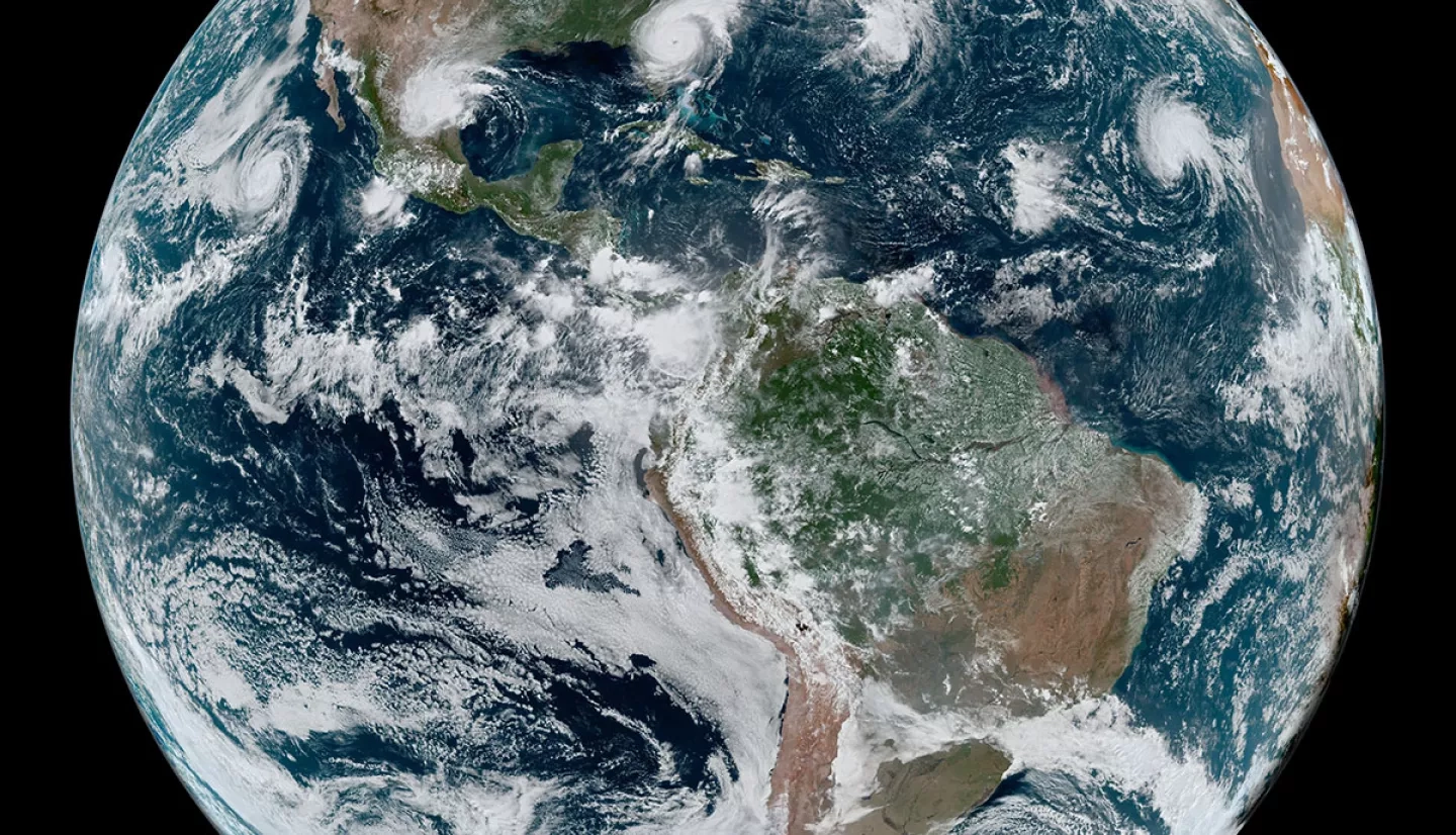
NASA’s Earth observing satellites capture data and information that help people better understand the planet, informing decisions that can lead to improved outcomes for society. Whether it’s lives saved or acres of forest conserved, how can scientists and science enthusiasts measure these benefits to help decision makers understand how useful satellite information can be?
This question is at the heart of a NASA Space Apps Challenge called “Measuring the Value of Earth Observations.” Held October 2-3, 2021, Space Apps is a virtual, international hackathon for coders, scientists, storytellers, and more to engage with NASA’s free and open data to address real-world problems on Earth and in space. Participants of this challenge are tasked with describing how Earth observations inform a specific decision that improves outcomes for society, and proposing a strategy for measuring these benefits.
In addition to exploring relevant datasets from NASA and international space agency partners, Challenge participants can take advantage of an accessible, online mini-curriculum called the “Value of Science” Explainer Series to learn more about economic concepts and approaches that can help them complete the challenge. The series introduces key economic terms and concepts, as well as different approaches for categorizing the societal benefits that Earth science information yields when used to inform decisions.
Participants in this challenge will join a growing, interdisciplinary community working to quantify and build awareness about the socioeconomic benefits of Earth science applications. Register to join this year’s NASA Space Apps Challenge today!
The “Value of Science” Explainer Series is produced by the VALUABLES Consortium, a partnership between NASA and Resources for the Future that brings together Earth system and social scientists to measure and communicate how using satellite information in decisions benefits people and the environment.