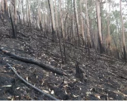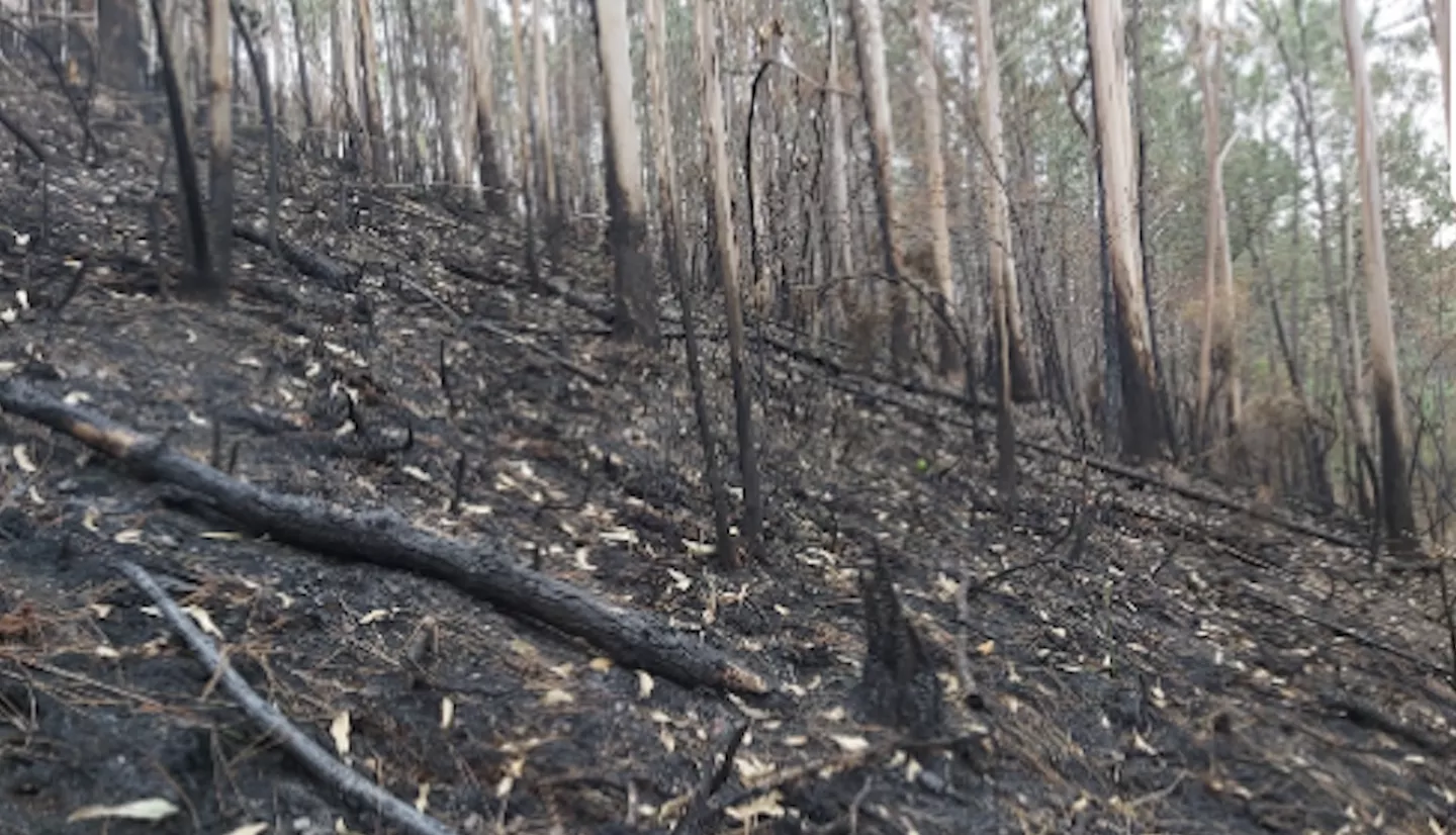
The region of Asturias in Northern Spain in 2023 saw its largest single wildfire in recorded history. High temperatures and strong winds quickly spread the Foyedo fire across the principality, leading to road closures, and evacuations of 178 people from their homes and destroying around 20 building structures.
Bringing NASA data and expertise, NASA Wildland Fires scientist Ana Prados journeyed to the area in October of 2023. Prados joined a team organized by Dr. Susana Suárez-Seoane, a professor at the University of Oviedo in Spain and an expert in satellite remote sensing.
The team included regional and national government forestry technicians, researchers, emergency service and forest service personnel, and community members. In total, the Foyedo fire burned 10,096 hectares of land, based on estimates from the European Forest Fire Information System and fieldwork conducted by Juan Luis Martin Correa and José Francisco Sánchez Díaz at the Comprehensive Forest Fire Prevention Team in the Asturias Headquarters of MITECO-Tragsa. Tragsa is a Spanish public agency and MITECO is the Spanish government’s Ministry for the Ecological Transition and the Demographic Challenge.
Prados, a principal investigator with NASA’s Wildland Fires program notes that the Foyedo fire was not the first to affect this region. Previously generated fire recurrence maps for Asturias show that fires burned the same area up to six times from 1984 to 2020. Researchers in Asturias [AP5] developed the maps using data from the European Space Agency Sentinel satellite missions and the NASA-U.S. Geological Survey Landsat series of satellites. In particular, Prados says that repeated burns can adversely affect vegetation health and play an important role in future fire risk.
To assess changes in the soil and vegetation caused by fires, Suarez-Seoane’s team used satellite images from Sentinel-2 and Landsat 8 and 9 collected before and after the fires, to derive various severity indices. The Relativized Burn Ratio for the area affected by the Foyedo fire is shown in Figure 2, with darker orange colors indicating more severely damaged vegetation.
The University of Oviedo team complements the satellite-based Relativized Burn Ratio with field estimates of soil and vegetation burn severity, also known as the Composite Burn Index. Together, they provide important information that can be used to support post-fire restoration efforts. Post-fire, the team has also conducted many studies on forest regeneration using vegetation indices, such as Landsat’s Normalized Difference Vegetation Index (NDVI) or similar indices.
Suárez-Seoane is also working closely with Juan Luis Martín Correa. Correa notes that given the criticality of satellite data “there is an urgent need for more experts trained in the use of remote sensing techniques for forest fire management, particularly before the occurrence of fires. For example, satellite observations could be used to create strategic management points to help prevent the spread of active fires.”
Correa added that data from NASA satellite instruments MODIS and VIIRs are also used during a fire to identify ‘hot spots’ or locations of active fires.
Moving forward, an active team of community leaders in Asturias is working on a more proactive approach to future fires. Suárez-Seoane is collaborating with the MITECO-Tragsa analyst teams to incorporate their satellite expertise into their decision-making activities in Asturias. Tragsa is also interested in incorporating satellite data into wildland-urban interface studies and regulations defining the buffer zone between built-up areas and vegetation.
Contributors to this work include:
Dr. Prados is a Senior Principal Investigator at the University of Maryland, Baltimore County, conducting NASA-funded research on wildfires and air quality in Spain, Portugal, and South America.
Mackenzie Allen has been assisting Dr. Prados for more than a year, specifically focused on the work in Spain.
Dr. Susana Suárez-Seoane is an ecologist at the University of Oviedo, where she leads several research projects on landscape changes and forest fires funded nationally (LANDSUSFIRE Project, PID2022-139156OB-C22, Ministry of Science and Innovation, State Research Agency and FEDER-EU) and regionally (REWILDING project, AYUD/2021/51261, Government of the Principality of Asturias, FEDER).
Juan Luis Martín Correa is a forest engineer working in the Comprehensive Forest Fire Prevention Team (EPRIF) in the Asturias Headquarters of MITECO-Tragsa.
José Francisco Sánchez Díaz is a Biologist and GIS Expert at Tragsa.