SERVIR-Mekong Introduces New Air Quality Explorer Pollution Mapping Tool
Thai government agencies announced at Nov. 23, 2020 media event in Bangkok they are now harnessing the power of NASA air quality data and expertise through a unique partnership with SERVIR.

A joint initiative between the Capacity Building program area and the United States Agency for International Development, SERVIR seeks to boost environmental resilience and support decision-making in developing regions around the world.
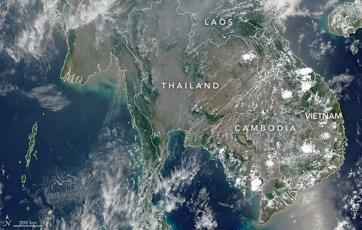
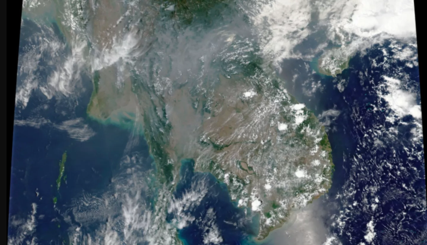
To tackle the problem of air pollution monitoring in Thailand and the lower-Mekong River region, the SERVIR-Mekong hub brought together experts in air quality measurement, technology design, atmospheric modelling, and civic engagement. They include the Royal Thai Government's Pollution Control Department and the Geo-Informatics and Space Technology Development Agency – Thailand's space agency.
Together, they developed a web-based platform for tracking and forecasting air quality in the region. SERVIR-Mekong's new Mekong Air Quality Explorer tool features major advances over past pollution monitoring systems.
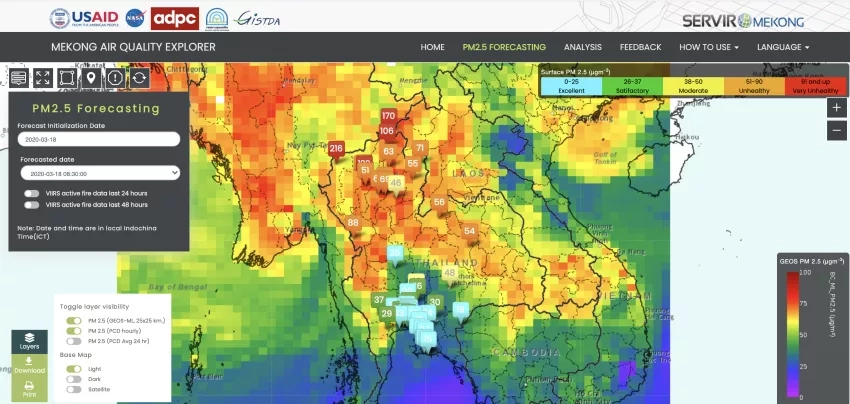
The new app combines NASA satellite data, ground sensor data, and machine learning analytics to enable large-scale monitoring and forecasting of air quality for the first time in Thailand. Previous systems relied heavily on ground-based technology.
"NASA has more than 20 satellites and sensors orbiting our home planet, continuously monitoring Earth's weather, climate, and environment for research and applications," said John Haynes, program manager of Health and Air Quality Applications. "All of that information - that data - is freely open and available to the public. Cooperation, like through this mapping tool, brings these data directly to the hands of decision-makers."
For more information about the new air quality mapping tool, view the NASA.gov feature, Thailand Brings NASA Air Quality Data Down to Earth.
Full presentation by Lawrence Friedl, director of the Applied Sciences Program at the Thai government press event.