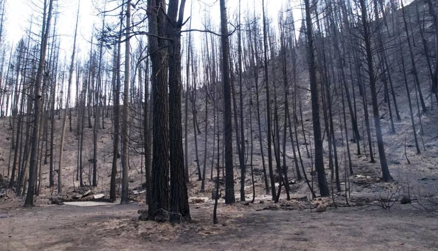
From reduced food supply and habitat for endangered species to increased erosion and flooding, wildfires can continue to affect human and natural systems well after they’re contained. An article published in the International Journal of Wildland Fire reports that imagery from the joint NASA-U.S. Geological Survey Landsat satellite mission is the most cost-effective input for mapping threats to people and the environment after a wildfire on federal land and prioritizing response measures, with savings of up to US$35 million over a 5-year period.
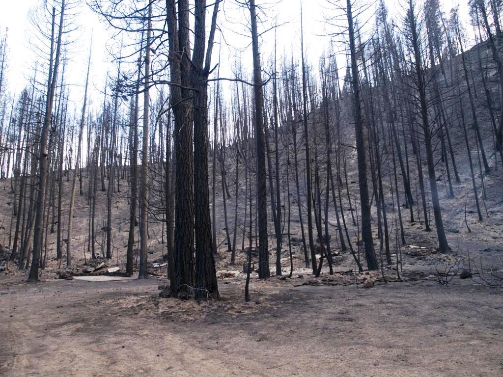
The NASA-funded case study compared the costs of creating wildfire burn severity maps for the federal Burn Area Emergency Response program (BAER) using Landsat data or non-NASA commercial imagery to the costs of collecting that information from aircraft flyover trips alone. BAER is a U.S. federal program that identifies post-wildfire threats to human life and safety, property and critical natural or cultural resources. They use this information to map where to take immediate action to help protect human health and safety, from identifying possible drinking water contamination to stabilizing areas now more vulnerable to dangerous landslides.
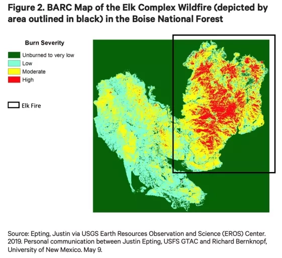
In particular, using Landsat satellite data for Idaho’s 2013 Elk Complex Fire resulted in savings of up to US$51,000 compared to using commercial imagery or helicopters as the primary tool for data collection.
The analysis is the work of the VALUABLES Consortium, a collaboration of the non-profit research group Resources for the Future and NASA. VALUABLES focuses on advancing innovative uses of existing techniques and developing new techniques for valuing the information provided by Earth-observing satellites.
More information on this study can be found in the previous 2019 working paper, published as a preliminary assessment of possible conclusions adapted for the final paper.