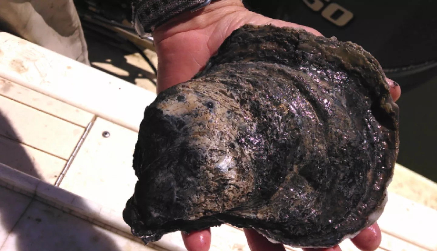
The oyster industry is key to Louisiana’s economy, accounting for almost 4,000 jobs and more than $300 million annually. But oysters are notorious hosts to a highly contagious pathogen called norovirus, a leading cause of illness from contaminated food, according to the Centers for Disease Control.
It’s impossible to see a virus from hundreds of miles above Earth, but satellites can detect the conditions that favor an outbreak. In fact, for the first time, a NASA-funded project team accurately predicted a norovirus outbreak in Louisiana waters.
Collaborating with public health managers and disease specialists, principal investigator of the project Zhiqiang Deng of Louisiana State University developed a way to predict the risk of norovirus outbreaks in Louisiana oyster-growing waters. The project team combined sea surface temperature and salinity data from NASA satellites with bacteriological data from field sampling and laboratory analysis.
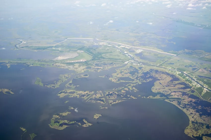
Water quality data came from the Louisiana Department of Health (LDH) Molluscan Shellfish Program, which regularly takes water samples from the state’s 30 oyster growing areas. Along with this, LDH’s Office of Public Health shared information on outbreaks, including epidemiological investigation data.
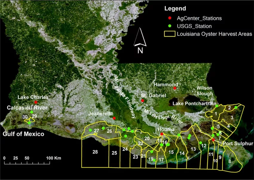
The four-year study culminated in 2014 when the team finalized a model that indicates the date, harvest area and likelihood of an outbreak. The model can make daily predictions for 30 Louisiana oyster areas and is capable of hindcasting historical oyster norovirus outbreaks in all harvest areas.
“Any project that can shed a small piece of light [on oyster norovirus outbreaks] is probably going to be very useful,” remarked Raoult Ratard, state epidemiologist with the Louisiana Office of Public Health.
Over the course of the project, the team tested and refined its model. As early as December 2012, the team predicted a high risk of a near-term outbreak in an oyster harvest area in Cameron Parish. Weeks later, in January 2013, the LDH closed the area and ordered a recall of those oysters after nine people became ill with gastroenteritis after eating oysters harvested there.
“[The satellite data’s] new insights will greatly enhance the usefulness of our program in helping detect and forecast infectious diseases within oysters.”
– Glenn Cambre, Louisiana Department of Health
Ron Dugas, a retired oyster biologist and former fisheries program manager, said Deng’s project was absolutely needed, and was a cutting-edge project for the state. “I’m glad he’s applied it to a very, very critical problem – the fact that people [can] get sick from consuming oysters.”
For Glenn Cambre, LDH public health executive director, this project’s data is crucial for supporting LDH’s mission to protect and promote the health of people in the Creole State.
“Such new insights will greatly enhance the usefulness of our program in helping detect and forecast infectious diseases within oysters and provide additional public health assurances to the citizens of Louisiana,” he said.
This story is part of our Space for U.S. collection. To learn how NASA data are being used in your state, please visit nasa.gov/spaceforus.


