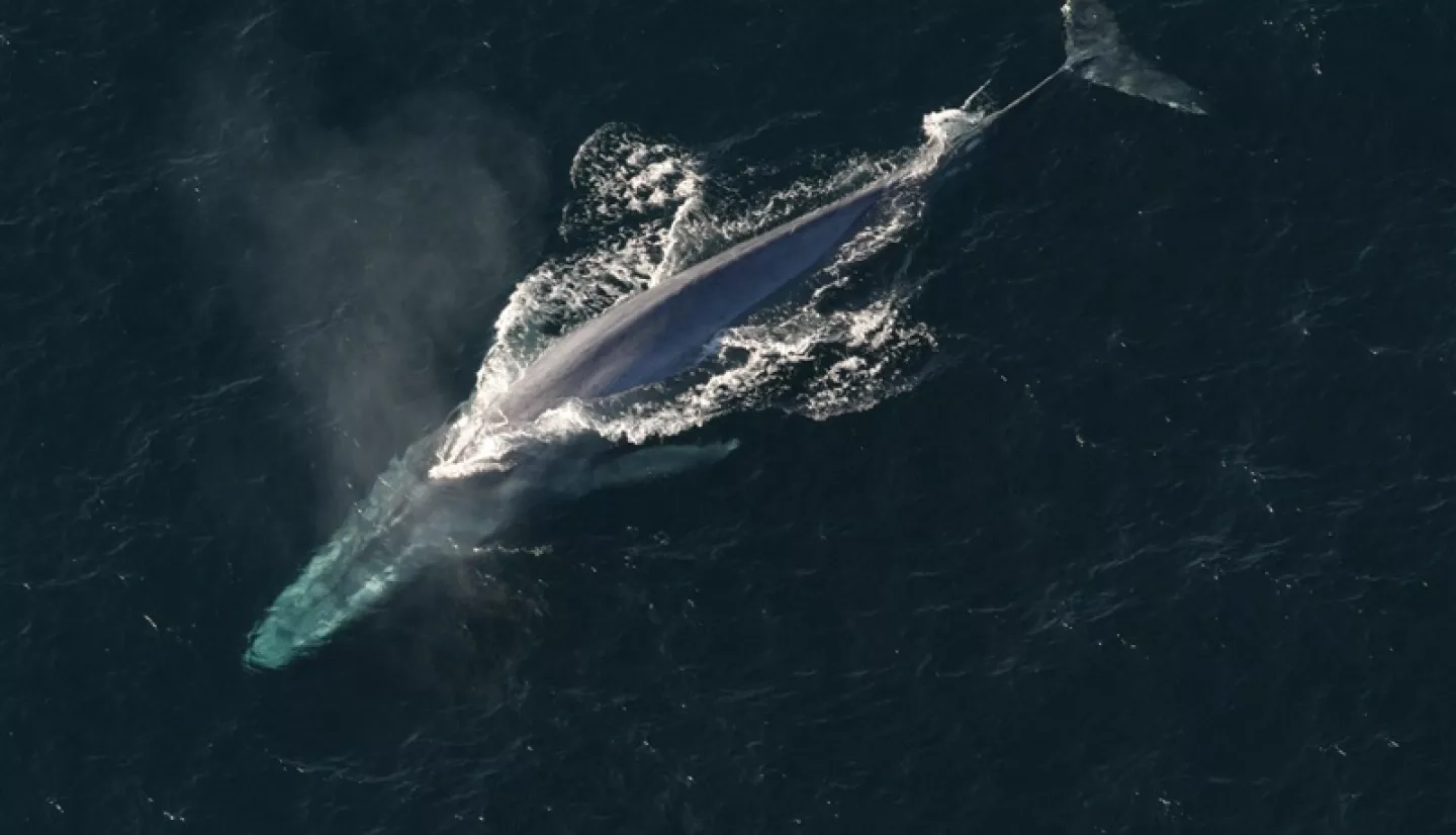
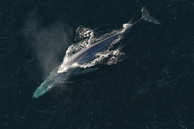
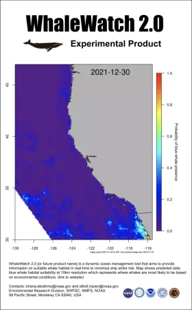
Blue whales might be the largest animals known to humans, but they can be hard to see when you’re navigating an enormous ship through the Pacific Ocean. A working paper found that using WhaleWatch, a tool developed by NASA and the National Oceanic and Atmospheric Administration (NOAA) to predict when and where blue whales are most likely to show up, could save up to $332 million per year by helping seafaring vessels avoid crashes that are fatal to this endangered species.
The analysis was conducted by VALUABLES, a collaboration between Resources for the Future (RFF) and NASA that measures how satellite information benefits people and the environment when it is used to make decisions. By combining Earth observations such as chlorophyll concentrations and sea-surface temperature from instruments like the Moderate Resolution Imaging Spectroradiometer (MODIS) on board NASA’s Aqua satellite, WhaleWatch predicts the most likely times and places that blue whales will be present along the U.S. West Coast. These data help ocean managers make decisions about how to efficiently protect whales from deadly collisions, while reducing vessel operators’ regulatory costs.
“Satellite information helps us identify specific parts of the ocean where ships are more likely to encounter blue whales… which can encourage cost-effective regulatory decisions and target economic incentives to reduce ship speeds in specific areas,” said Richard Bernknopf, lead author of the study. Bernknopf is an RFF non-resident fellow and research professor of economics at the University of New Mexico. “Ocean managers can use this information to slow ships down, thereby avoiding fatal whale strikes and helping to conserve this endangered whale population.”
The Ecological Forecasting program area project to develop WhaleWatch was led by Helen Bailey, a research professor with the University of Maryland Center for Environmental Science. She worked with her team to integrate a tagging database of actual whale locations with NASA satellite information and make the combined likely whale-location products accessible through an online portal.
“We have tracking data from 1993 to 2009 that was collected by Bruce Mate and his team at Oregon State University,” Bailey said, “to understand not just where the whales are going, but why are they going there.”
This space-based satellite fleet measures sea-surface height, sea-surface temperature, chlorophyll concentration and water depth. These factors help identify the types of habitats blue whales prefer and where they might travel through during different times of their migration.
According to NOAA’s National Marine Fisheries Service, between 1988 and 2012, there were 100 documented large whale ship strikes along the California coast alone. WhaleWatch has been used to help advise when voluntary vessel speed reductions may be appropriate and to help evaluate costs and benefits of management strategies to minimize blue whale entanglements in fishing gear.
“Tools such as WhaleWatch that are able to operate continuously are essential to monitor the potential impacts of a variety of threats,” said Penny Ruvelas, branch chief of NOAA’s Protected Resources Division West Coast Regional Office. “[These tools] help serve as the basis for management approaches that can conserve protected species while minimizing the impacts to affected industries, as demonstrated by the study.”
Resources for the Future is an independent, nonprofit research institution in Washington, DC. Its mission is to improve environmental, energy, and natural resource decisions through impartial economic research and policy engagement.
To learn how NASA data are being used in your state, please visit nasa.gov/spaceforus.