Counting the population of an entire country is no easy feat – especially when these numbers need to be accurate to inform how many vaccines are needed in a community, or which part of a country needs more schools or hospitals. An app developed through an Ecological Forecasting program area grant to estimate fish populations in Nevada inspired a former NASA researcher to bring these methods halfway around the world. The technique is being used to help estimate human populations in hard-to-census areas where terrain or conflict can make it difficult.

"With NASA, back in Nevada, we built a web app to put that data into the hands of decision makers, so programs could access the high-res salmon estimates directly without having to be professional statistical scientists themselves," said Doug Leasure, a senior enterprise fellow in the WorldPop Group at the University of Southampton.
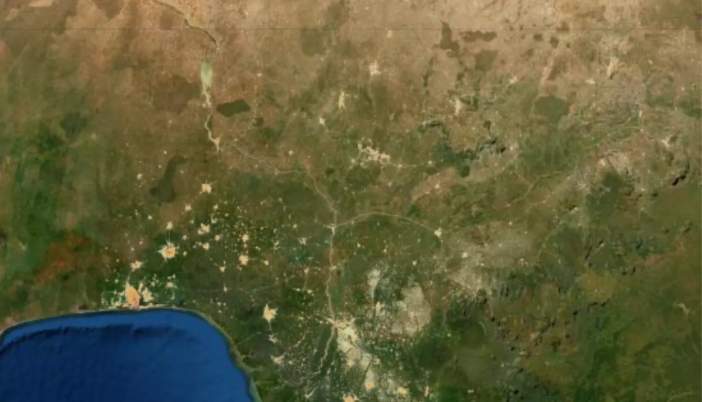
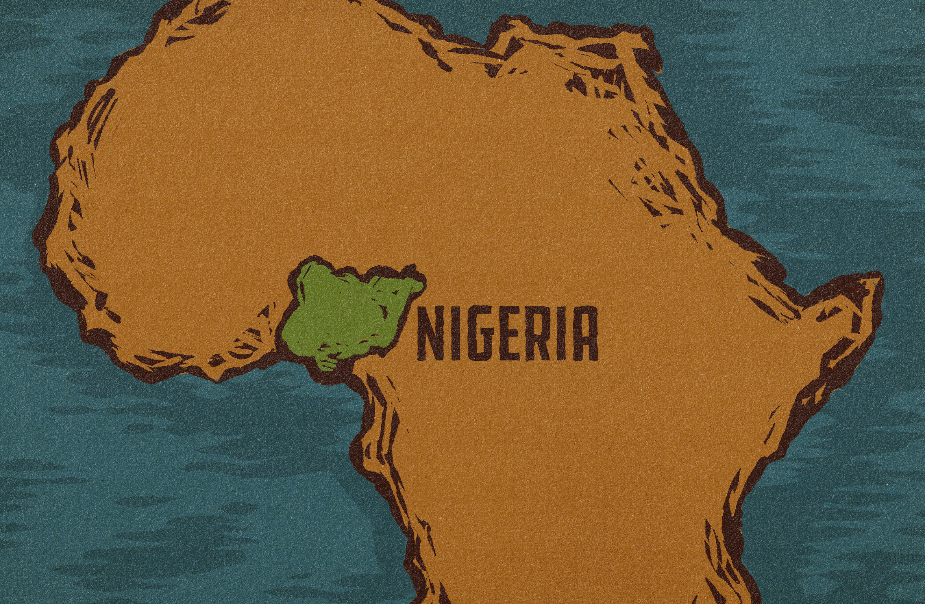
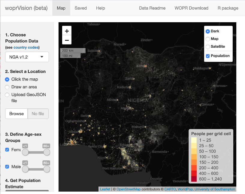
Leasure’s team has adapted those techniques and, working with the Nigerian government, created a custom web portal called woprVision to help them to better estimate population numbers of their citizens.
Ian Coady is a geospatial advisor at UK Department for International Development (DFID), a key funding partner on this project. He says it takes an international network of collaboration to identify data sources, develop methods to use the data well, and implement those methods on a timeline that meets development needs. "Each partner brings something unique to the table," he said.
WorldPop is among a consortium of universities and organizations that use satellite imagery and spatial data to support better population estimates. WorldPop is a core participant of GRID3, a partnership between WorldPop (University of Southampton), Center for International Earth Science Information Network (CIESIN, Columbia University, United Nations Population Fund (UNFPA), and the Flowminder Foundation. The Nigeria population modeling was done by WorldPop as part of the GRID3 project which applies data solutions like woprVision to humanitarian issues.
Additional collaborators include the Center for International Earth Science Information Network (CIESIN) at Columbia University, in New York City, and the non-profit organization the Flowminder Foundation.
"Our goal is to expand the value of Earth observations for countries in aiding decision making," said Coady. "But if you're going to produce statistical data, it needs to have a home to go that everyone agrees on."
That “home” will be the techniques and tools being developed by the GRID3 program, including Leasure and the WorldPop team. Coady added that creating that home base is a matter of particular importance, as humanitarian needs tend to shift quickly. For example, a country might need to plan and execute a vaccination campaign in a matter of months.
Leasure added that working closely with the users of the data is crucial. "It's been vital for us to work with local governments and nonprofits who have local expertise," said Leasure. "They tell us what information is actually needed and are even sharing feedback on the accuracy of our estimates. The team is also working to make these improved population assessments sustainable."
In some cases, the administrative target populations were several times times higher than the actual number of children under five – these population estimates allowed teams to work with the local teams to re-adjust the target. This resulted in large savings in vaccine and logistics costs, Leasure shared. In places affected by conflict, these estimates also helped vaccination teams understand which areas were abandoned and only visit settlements with people, minimizing danger on the road for relief efforts in places affected by violent conflict.
Thanks to this international collaboration and funding, the program is being expanded into the Democratic Republic of Congo, South Sudan, Mozambique, Zambia and Burkina Faso.
Learn more about how NASA data and resources are involved on the NASA.gov feature NASA Population Modeling Makes Humanitarian Efforts More Precise.


