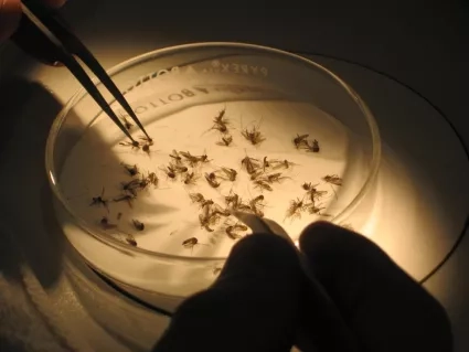
A NASA-enhanced website that began in California to strengthen mosquito control efforts has gone cross-country. Utah and New Jersey state public health officials and mosquito control agencies are now using the California Vectorborne Disease Surveillance System (CalSurv) to help monitor and respond to potential outbreaks of mosquito-borne diseases.
A NASA-enhanced website that began in California to strengthen mosquito control efforts has gone cross-country. Utah and New Jersey state public health officials and mosquito control agencies are now using the California Vectorborne Disease Surveillance System (CalSurv) to help monitor and respond to potential outbreaks of mosquito-borne diseases.
Data have been used from several Earth-observing satellites to map mosquitoes that can carry these deadly viruses, including precipitation observations from the Global Precipitation Measurement mission (GPM), land cover/land use data from the Landsat satellites, and land-surface temperature data from NASA’s Terrestrial Observation and Prediction System (TOPS). Vegetation data are also incorporated from the Moderate Resolution Imaging Spectroradiometer (MODIS) sensor aboard NASA’s Terra and Aqua satellites, the Visible Infrared Imaging Radiometer Suite (VIIRS) aboard the Suomi National Polar-orbiting Partnership (Suomi NPP) satellite, and NASA’s North American Land Data Assimilation System (NLDAS).
You can find out more about this program here.
Want to Get Involved? Download the GLOBE Observer app and find out how!


