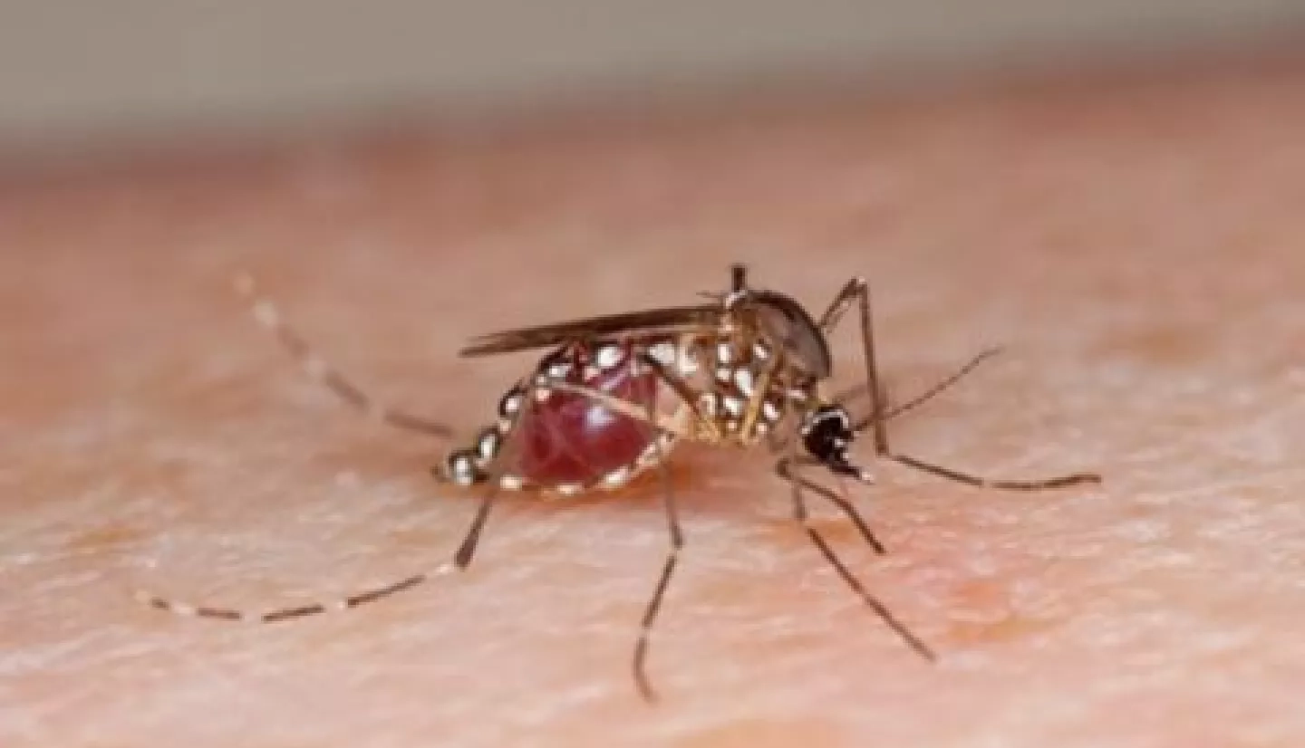
Public health officials and mosquito control agencies across the country are now using a NASA-enhanced website to help monitor and respond to potential outbreaks of mosquito-borne diseases by mapping the insects that can carry these deadly viruses. The invasive mosquito surveillance system, called VectorSurv (short for Vectorborne Disease Surveillance System), uses both NASA Earth observations and data collected in the field to create maps of which communities are most at risk from potential disease-carrying mosquitoes.

Credits: CDC
According to the Centers for Disease Control and Prevention, the number of cases of mosquito-borne disease in the United States is growing – the rate of these infections was 10 times higher in 2016 than in 2004. That's why the Earth Applied Sciences Health and Air Quality program area funded grants to enhance VectorSurv with Earth observation data, so vector control and public health agencies have the early warning they need to help keep mosquito invasions from turning deadly.
Learn more about VectorSurv from the NASA feature NASA Helps Fight the Mosquito Bite Coast-to-Coast.
This story is part of our Space for U.S. collection. To learn how NASA data are being used in your state, please visit nasa.gov/spaceforus.


