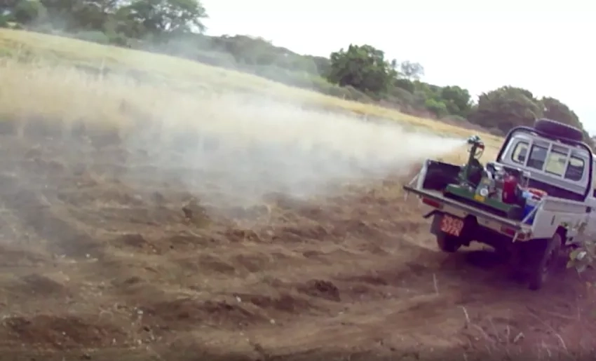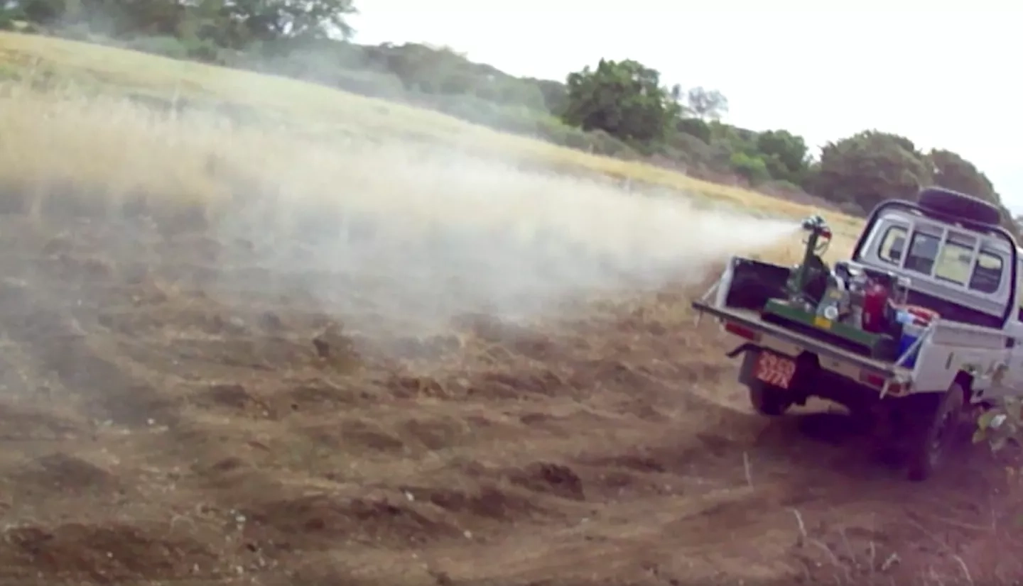
Disease-tracking research is now entering a new era: practical use by international health and relief teams. As ever-more advanced Earth-observing satellites track the temperature, precipitation, and vegetation conditions linked with certain diseases, researchers are creating models that better assess the likelihood of disease outbreaks and health organizations are using that information to plan disease response.
Building bridges between researchers and health professionals is a goal of NASA's Health and Air Quality program area. Currently the program has the highest number of disease-tracking projects and partnerships in its 20-year history. Collaborators include the Centers for Disease Control and Prevention, the U.S. Agency for International Development, UNICEF, the Pan American Health Organization, as well as state and local health departments. The Intergovernmental Group on Earth Observations (GEO) also connects experts in Earth remote sensing with public health managers and non-governmental organizations.
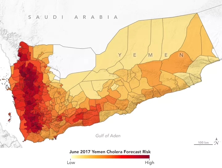
Read more about how these efforts slow the spread of cholera, chikungunya, Rift Valley fever, and other diseases in the NASA Earth Observatory story, Of Mosquitos and Models: Tracking Disease by Satellite.