Maria Kavanaugh sees the seas differently than most. While the oceans can seem like vast areas of unbroken waters, Kavanaugh sees a rich mosaic of “seascapes.” In the same way that areas on land have landscapes, the seas have seascapes. Some are like deserts, while others are more like lush rainforests. They differ in their currents, water temperatures, and inhabitants. Often scientists have a hard time defining seascapes, especially because these ecosystems are literally fluid and constantly moving.

“Seascapes are dynamic—they expand and contract and move just like the water does,” said Kavanaugh, an assistant professor at Oregon State University’s College of Earth, Ocean, and Atmospheric Sciences. But by analyzing real-time satellite data, she can show when and where the boundaries of those seascapes shift.
“In one study our seascape maps let us predict when fishing conditions were favorable in a protected area off the coast of Argentina,” Kavanaugh said. “And that meant that our computer models could predict with 69-96 percent confidence when illegal fishing would occur.”
In her NASA-funded work, Kavanaugh is defining these ecosystems on a large scale, using remote sensing data to classify the entire ocean. To identify a seascape, Kavanaugh looks at the signatures of currents, temperatures, microbial life, ice cover and other indicators that make each seascape unique. Much of that information is obtained by NASA instruments, such as the Moderate Resolution Imaging Spectroradiometer or MODIS sensor aboard the Aqua satellite, which acquires ocean color data.
Solving a problem
Though Kavanaugh is now poring over images of the ocean from space, she started her career closer to the coast. “I had a background in rocky intertidal ecology, and I was very interested in the processes that shaped the patterns that I would see on the rocks along the Oregon shores,” Kavanaugh said. “But when we started to look farther at sea, to study these same patterns in the water column far from the beach, the data to differentiate ecosystems became murky. That's something in ocean ecology that we struggle with a lot—we don't have an objective way to say, well, this system starts and this system stops at this place.” She began her work on seascapes to remedy that.
Kavanaugh said these seascape maps will help establish baselines of biodiversity. And, once those baselines are set, researchers can then document change over time and compare different systems.
“We are really trying to make sure that we're sampling the environment in a in a meaningful and robust way,” Kavanaugh said. “But it's just that much more difficult when the environment is moving and the things that we're measuring are below the surface and small. That's where these seascape habitat delineations have really, really helped us.”
Practical applications
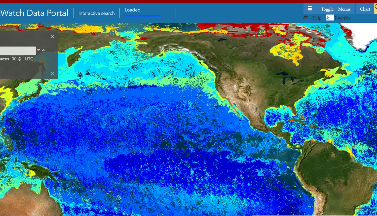
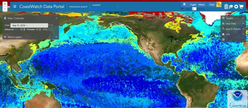
Seascapes data is available through NOAA’s CoastWatch. At first, most interest in the maps came from researchers involved in an inter-agency effort called the Marine Biodiversity Observation Network (MBON). But Kavanaugh said she has started to notice more users coming from agencies that manage marine resources and even private sector companies.
“We're hopeful that seascape classifications will become part of an early warning system for fisheries managers,” Kavanaugh said. “For example, satellite data can show when a specific seascape is becoming compressed near a coastline.
“This raises the likelihood that forage species that live in this habitat are located near shore. When those forage species are really close to shore, the megafauna—the humpbacks and other whales—will follow them in, which increases the likelihood that these animals will come into contact with ships.”
She is also helping the Northwest Indian Fisheries Commission to use seascape data as the group updates their pelagic habitat assessment off the coast of Washington.
Future refinements
“Maria Kavanaugh’s Seascapes product provides global information on dynamic pelagic and coastal ecosystems for marine resource managers to use in conservation decisions,” said Maury Estes, the associate program manager for NASA Applied Science’s ecological conservation program. “Product updates are sustainable, too, with satellite remote sensing data.”
Seascapes could become even sharper in the near future as that remote sensing data improves. NASA is preparing two separate missions with hyperspectral sensors that will be able to detect the ocean’s environmental signatures in fine detail. The Plankton, Aerosol, Cloud, ocean Ecosystem, or PACE, mission is scheduled to launch in 2024. The Surface Biology and Geology, or SBG, study will launch no earlier than 2026.
Kavanaugh sees her work and these new missions as reciprocal. On one hand, the classifications she has developed will help scientists understand the data that comes from these new missions. On the other hand, the sensors aboard PACE and SBG will be able to more subtle variations in plankton communities and underwater vegetation than other previous tools. Kavanaugh hopes that new information will go into the seascape classifications at some point.
“If we're thinking about phytoplankton and seafloor vegetation, then its quality and how it changes in space and time is going to give us an indication of the overall quality of the habitat,” Kavanaugh said “PACE and SBG will revolutionize what we're able to detect from remote sensing.”


