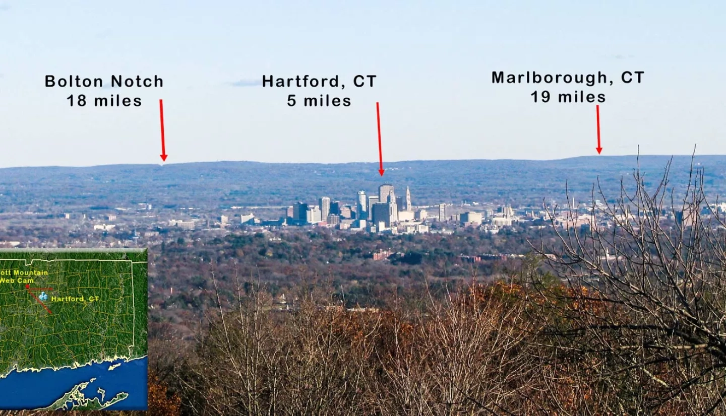
More than half of Connecticut’s 3.6 million residents call the southwestern part of the state home, but big-city problems like air pollution can affect the entire state. NASA’s Air Quality Applied Sciences Team (AQAST) is working with air-quality managers in Connecticut to bring satellite data down to Earth.

AQAST, which expanded to become the Health and Air Quality Applied Sciences Team (HAQAST) in 2016, is a NASA Earth Applied Sciences team of atmospheric scientists working in partnership with U.S. air quality managers across federal and state agencies. AQAST helped these managers maximize their ability to address air quality issues with NASA Earth observations and research.
Pius Lee, an AQAST member and scientist at the National Oceanic and Atmospheric Administration (NOAA) Air Resources Laboratory, has been working with Michael Geigert of Connecticut’s Department of Energy and Environmental Protection (DEEP) since 2004.
Geigert used NASA satellite data to help NOAA refine the National Air Quality Forecasting System (NAQFS) to account for localized weather and emissions characteristics. Lee explained that this improved air quality forecasting for the entire nation, and Connecticut specifically.
In April 2008, trees and other vegetation in southern New England began sprouting leaves earlier than usual. This “early leafing” produced natural emissions of chemicals that led to the formation of elevated concentrations of ozone.
“Satellites allow us to perform almost real-time observations of fine particulates and NO2 [nitrogen dioxide] from power plants, which will be very important moving forward.”
–Michael Geigert, Connecticut’s Department of Energy and Environmental Protection
“Our model missed high ozone episodes from April 19-22,” Lee remarked. “The fix was to use more recent monthly data retrieved from the MODIS instrument on NASA’s Terra satellite.” The Moderate Resolution Imaging Spectroradiometer (MODIS) and data from other NASA satellite instruments help NOAA test and tweak the NAQFS, and provide unprecedented monitoring capabilities for state agencies like DEEP.
“We are very interested in identifying emissions from specific sources,” Geigert said. “Satellites allow us to perform almost real-time observations of fine particulates and NO2 from power plants, which will be very important moving forward.”
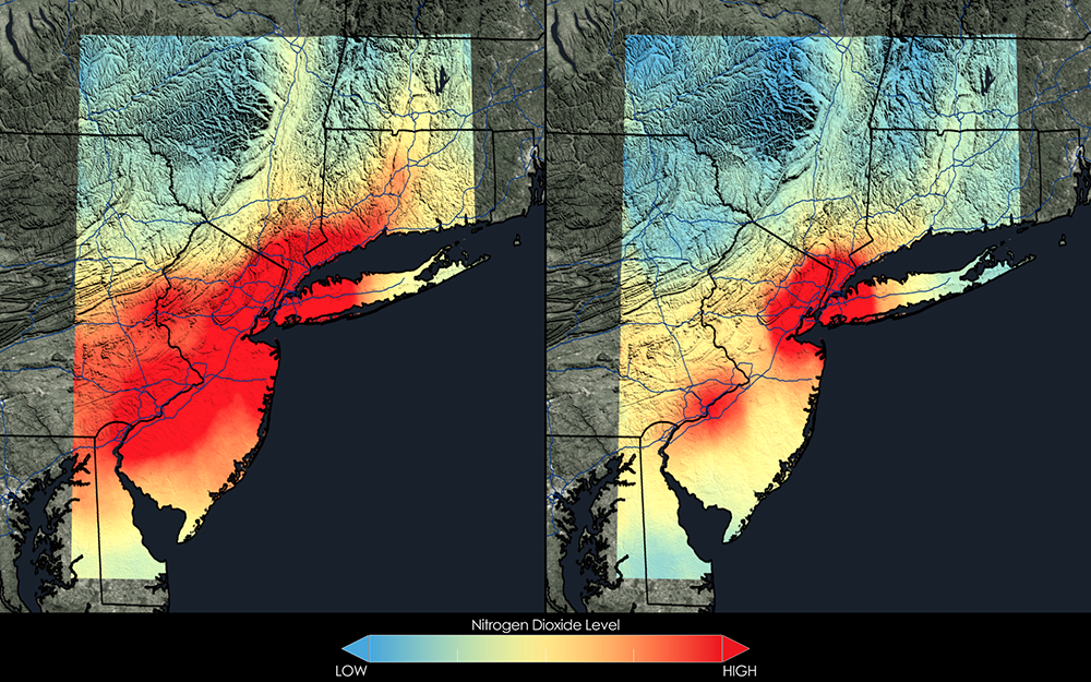
The immediate data are invaluable to DEEP. Connecticut has struggled to meet federal air quality standards for many years, because pollution from nearby metropolitan areas, including New York City, is carried into the state and affects local air quality. Geigert also identified New England’s popular wood-burning stoves as a source of local pollution, particularly during the harsh winter months of 2013-2014.
Lee and Geigert also see a promising future for combining airborne mission data with satellite products in coming years. “One of our future goals is to determine how much pollution comes from different types of sources,” noted Geigert.
AQAST’s work with Connecticut provided the means, and rationale, for bringing satellite data down to ground level and applying it to solve local air quality problems. “I really appreciate Michael’s insight into local meteorological considerations that have greatly improved the NOAA’s modeling capabilities,” Lee said.
This story is part of our Space for U.S. collection. To learn how NASA data are being used in your state, please visit nasa.gov/spaceforus.


