The Palmetto State’s Southern charm draws millions of visitors every year. Tourists flock to its historic cities draped in Spanish moss and savor its Low Country cuisine. South Carolina’s mild winters help make it an appealing destination, but it’s also occasionally in the path of severe tropical storms and hurricanes.
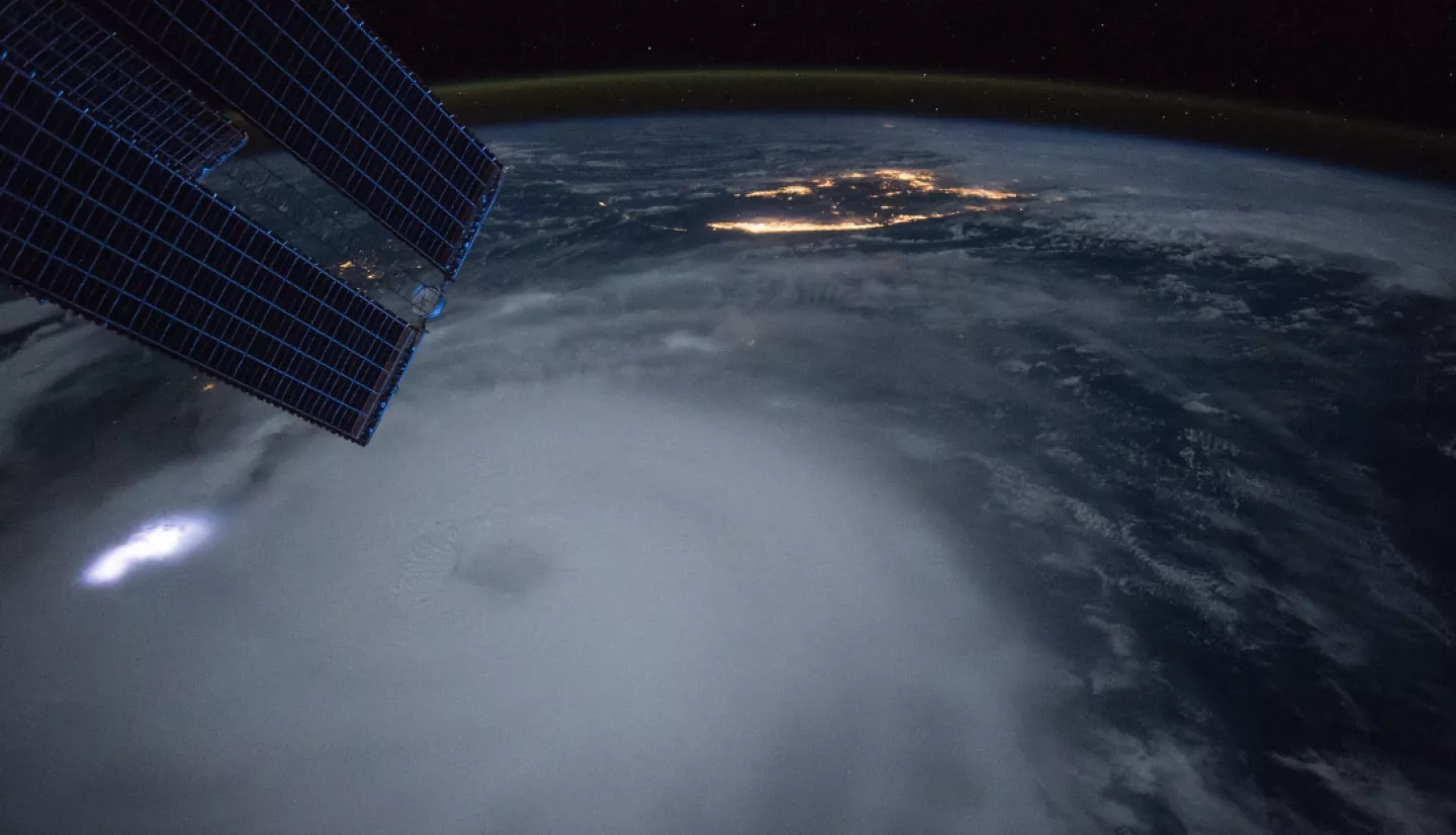
In 2015, Hurricane Joaquin was spinning in the Bahamas before crossing paths with a plume of tropical moisture that ended up stalling right over the state. NASA monitored the soil moisture, confirmed the rain totals and supported first responders as they located flood survivors.
This wet weather system, stalled over South Carolina, met Joaquin to produce record rainfall – more than 2 feet (0.6 meters) in some areas. Rivers topped their banks and dams burst; many residents were without power or water for days. For some locations, it was a 1-in-1,000-year flood event.
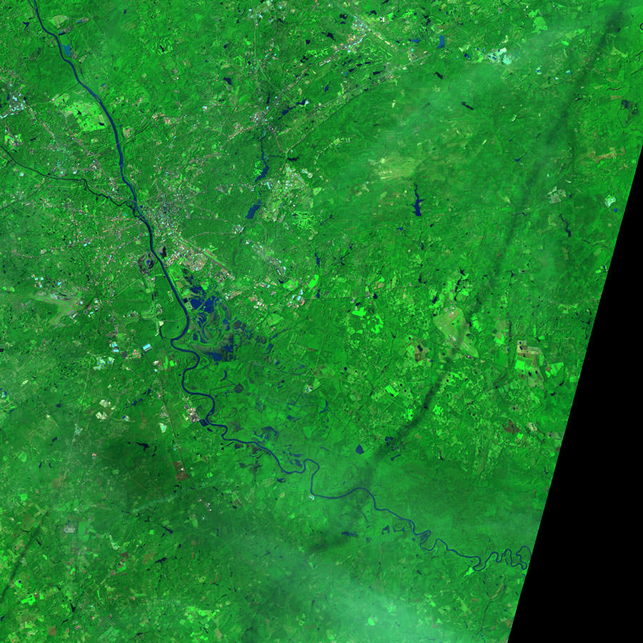
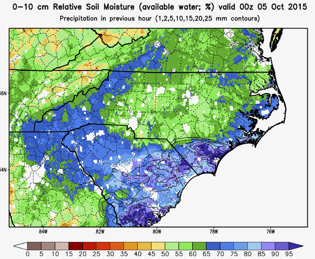
Leading NASA's response was the Earth Applied Sciences Disasters Program. NASA space-based imagery and instruments were among the first to provide a large-scale perspective of the extent of the flooding. More specifically, NASA’s Short-term Prediction Research and Transition Center (SPoRT) monitored the soil moisture and its trends. SPoRT is based at NASA Marshall Space Flight Center in Huntsville, Alabama and operates in collaboration with NASA’s Goddard Space Flight Center in Greenbelt, Maryland.
During the record-setting rainfall, soil moisture across South Carolina reached 75-100% relative capacity. “When we see values approaching [these levels], they can be interpreted in a manner like relative humidity – the model is reporting that soils are nearly saturated, unable to absorb additional rainfall and runoff water, and flash flooding is more likely,” said Andrew Molthan, research meteorologist and lead for disaster response activities at SPoRT. The team also provided the soil moisture data to the U.S. Geological Survey (USGS) Hazards Data Distribution System to support flood response efforts of state and federal partners.
The NASA team also tapped into satellite data and imagery to confirm the record-breaking rainfall totals, then fed the data into other systems that helped forecast the extent of flooding in the region. One system, developed by the National Oceanic and Atmospheric Administration's (NOAA) National Centers for Environmental Protection (NCEP), is called the NCEP Advanced Weather Interactive Processing System (N-AWIPS).
“[Including satellite data] is one of the most significant additions in recent years.”
–Chris Landsea, NOAA National Hurricane Center
More than a week after the rain stopped, residents of low-lying coastal communities found themselves bracing for a second deluge as inland floodwaters surged. To assist responders and forecasters, the NASA team tapped into a flood tool that helps track water’s movement on the ground by combining satellite rainfall data with a model of the land surface and soil moisture. That model then predicted the likelihood of flooding based on conditions when rivers broke their banks in the past. The Federal Emergency Management Agency (FEMA) and the Department of Homeland Security used these maps to determine where flooding was occurring, and where it could continue or worsen in the days ahead as floodwaters moved downstream.
In a progress report released in 2016, FEMA reviewed this multi-agency response and provided some statistics on the South Carolina flooding. The deluge ultimately triggered federal disaster declarations for 35 of the state’s 46 counties.
FEMA’s Region IV Administrator, Gracia Szczech, remarked, “We partnered with multiple agencies to assist flood survivors as they worked to recover from the South Carolina floods. While a year has passed, our ultimate goal remains the same – to ensure that communities continue to recover and to emerge stronger and more resilient.”
This story is part of our Space for U.S. collection. To learn how NASA data are being used in your state, please visit nasa.gov/spaceforus.


