Applying NASA Data to Our Earth
Earth’s ecosystems are constantly responding to changing climates, extreme weather conditions and human activities. We promote the use of NASA Earth observations to monitor, analyze and forecast these changes — and to develop resource management strategies that benefit society.
When people, economies and communities are affected by the changing world around them, the Ecological Conservation program area makes sure natural resource managers and those involved in conservation and sustainable ecosystem management have the data they need to respond. We develop decision support tools for land, freshwater and marine forecasting.
Get to Know Ecological Conservation
Our Focus
Land
We work with natural resource managers to integrate Earth observations into conservation and sustainability decision-making. For instance, researchers from the University of Wisconsin are partnering with the Wisconsin Department of Natural Resources to improve its resource decisions by monitoring wildlife such as black bears, grey wolves and bobcats using satellite imagery.
Freshwater
As freshwater ecosystems face pressure around the world, we help conduct habitat assessments so resource managers can plan and prioritize conservation action. For example, University of Montana researchers are developing tools to assess climate change vulnerability among salmon populations.
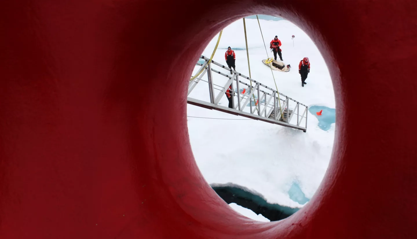
Marine
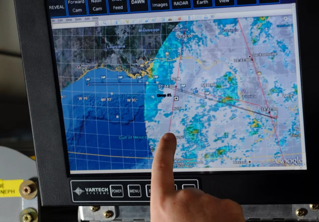
From microscopic organisms to majestic blue whales, our marine ecosystems teem with life. We partner with organizations like NOAA to promote more effective conservation and global fishery management — using Earth observations to understand changing marine ecosystems, protect species and evaluate human activity that affects our oceans.
Partnering with NASA Biological Diversity
We work closely with the Biological Diversity Program, another part of NASA’s Earth Science Division, to fund competitive research at academic institutions, non-governmental organizations and in the private sector. The Biological Diversity program supports basic research that advances the understanding of how and why biological diversity is changing.
Visit the Biological Diversity & Ecological conservation Website