Skip to main content
Search
Search
Search
Search
View this page in:
Español
Français
Breadcrumb
Home
Topic: Disasters
Search
Displaying 1 - 10 of 46
Disasters
NASA Earth-Observing Data Aids Arkansas with Flood Risk Management
December 23, 2019
Disasters
NASA Participates in Tradewinds 2020 Disaster Management Exercise
February 25, 2020
Disasters
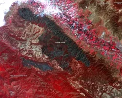
From Space and in the Air, NASA Tracks California's Wildfires
September 2, 2020
Disasters
Kristopher Bedka: Helping the Reinsurance Industry Understand Hailstorm Risk With Satellites
By
Gabriella Lewis
,
contributing writer
September 15, 2020
Disasters
NASA Coordinates with Local Agencies to Understand the Risk and Impacts from the Western U.S. Fires
By
September 16, 2020
Disasters
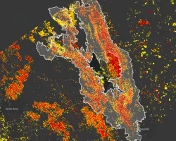
Using Satellites to Detect Flooding in North Carolina
By
December 10, 2020
Disasters
NASA, Rio de Janeiro Extend Disaster Preparedness Partnership
January 27, 2021
Disasters
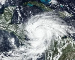
NASA Helps the World Weather the 2020 Hurricane Season
By
Timothy "Seph" Allen
February 25, 2021
Disasters
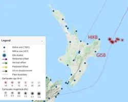
Tsunami Warning System Detects Gisborne New Zealand Earthquake
By
March 8, 2021
Disasters
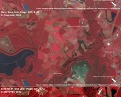
Impacts to Saint Vincent from the La Soufrière Eruption
By
June 2, 2021
Pagination
Current page
1
Page
2
Page
3
Page
4
Page
5
Next page
Next ›
Last page
Last »