Imagen

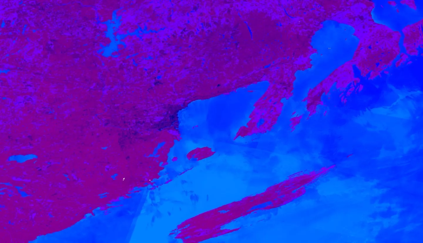
The Great Lakes Basin is one of the world’s largest freshwater ecosystems. The Basin harbors over 200,000 acres of wetlands that provide a variety of environmental, ecological, and recreational functions to over 30 million people in the region. Some of these functions include improving water quality, mitigating flood impacts, providing wildlife habitat, and housing recreational activities. However, due to anthropogenic activities, habitat conversion and degradation threaten to disrupt or destroy remaining wetland ecosystems. Maps of wetland distribution based on ground surveys are costly and labor-intensive, prohibiting timely evaluations of wetland loss and gain. The Great Lakes Water Resources II team at the NASA Jet Propulsion Laboratory developed the Wetlands Extent Tool 2.0 (WET 2.0) in Google Earth Engine to automate mapping of wetland distribution in the Great Lakes Basin. The team partnered with the US Fish and Wildlife Service, Environmental Protection Agency, Minnesota Department of Natural Resources, the National Oceanic and Atmospheric Administration, and Ducks Unlimited. WET 2.0 incorporates Landsat 8 Operational Land Imager (OLI), Sentinel-1 C-band Synthetic Aperture Radar (C-SAR), and Sentinel-2 Multispectral Instrument (MSI) data. Utilizing a Random Forest classifier, WET 2.0 is capable of automatically mapping wetland extent in the entire Great Lakes Basin, achieving a mean overall accuracy of 80.12% when tested in Michigan. Findings and maps produced by WET 2.0 will enable our partners to identify areas of ecosystem degradation and wetland destruction in order to enact environmental practices and policy initiatives to maintain environmental and economic health in the area.