Imagen
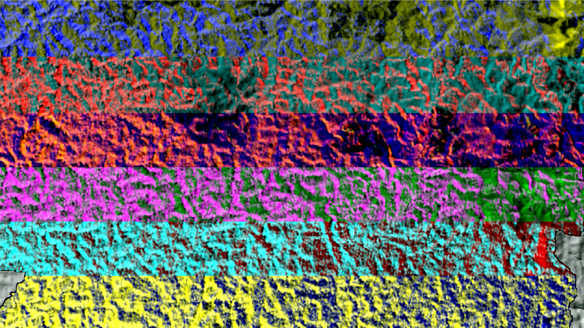
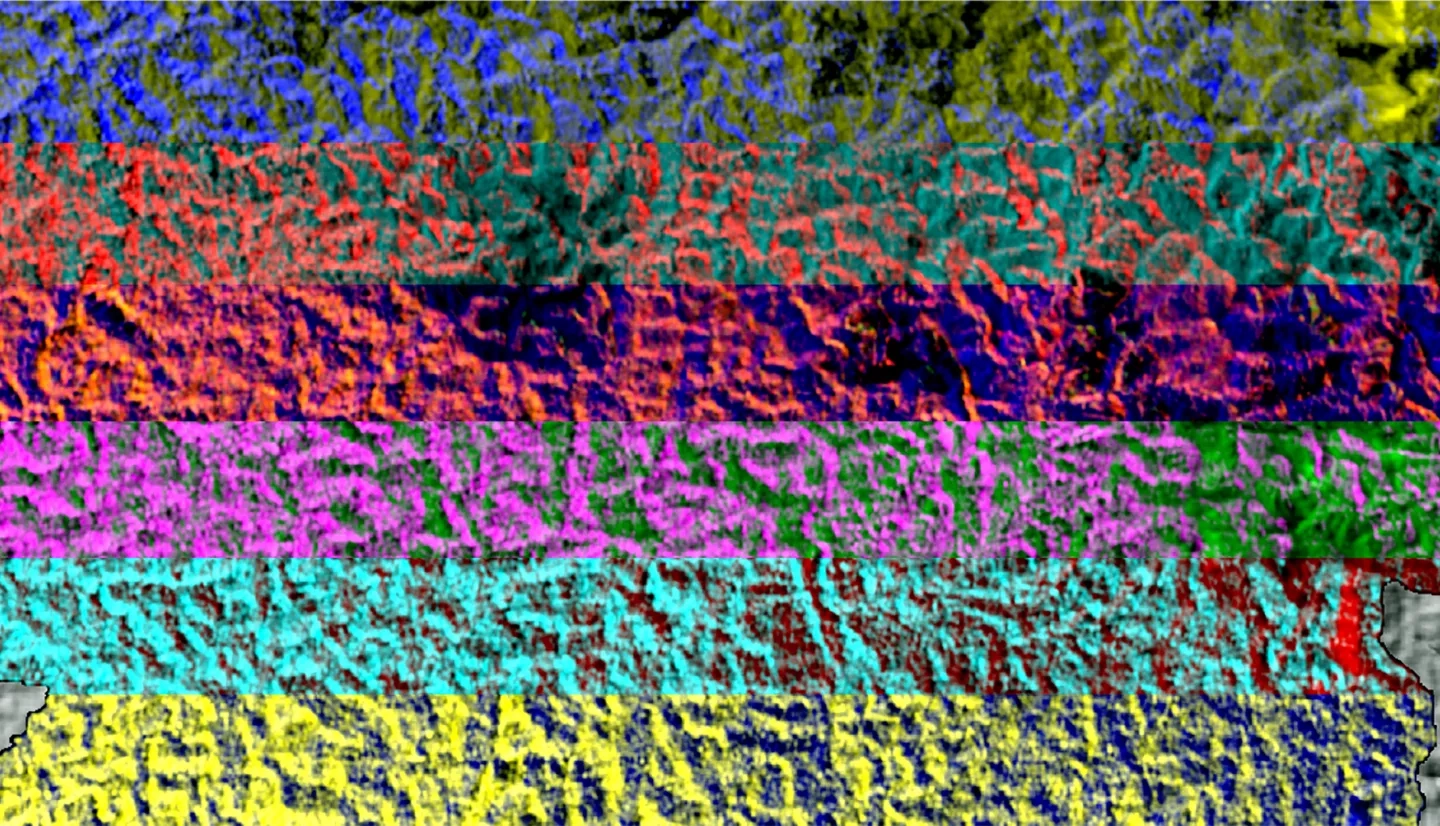
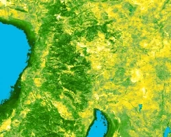
The Panama Canal Watershed (PCW) is a major socioeconomic resource. The PCW provides potable water to surrounding cities and ensures the Panama Canal remains fully operational throughout each year. Over one million residents in Panama City, Colón, and San Miguelito rely on the PCW for electricity and potable water. Around three percent of global maritime shipping passes through the Panama Canal annually, which is dependent on water from the PCW to power and fill the locks for ships’ passage. The PCW must be carefully managed to maintain community water needs and operation of the Panama Canal during the dry season. Land cover in the PCW varies from pasture to secondary and old-growth forests. This project used NASA Earth observations and Synthetic Aperture Radar datasets in collaboration with data provided by the Smithsonian Tropical Research Institute to assess the vegetation structure and moisture regimes of different land cover types in the PCW during extreme wet and dry seasons. The team observed evapotranspiration in the PCW using data from Terra Moderate Resolution Imaging Spectroradiometer (MODIS). Using NASA Gulfstream III Uninhabited Aerial Vehicle Synthetic Aperture Radar (UAVSAR) and Advanced Land Observing Satellite (ALOS) Phased Array L-band Synthetic Aperture Radar (PALSAR), the team interpreted backscatter values to create land cover classifications. Measurements of evapotranspiration and land cover type classifications between 2007 and 2019, in both the wet and dry seasons, indicated that forests were the most effective land cover in maximizing water availability during the dry season.