Imagen
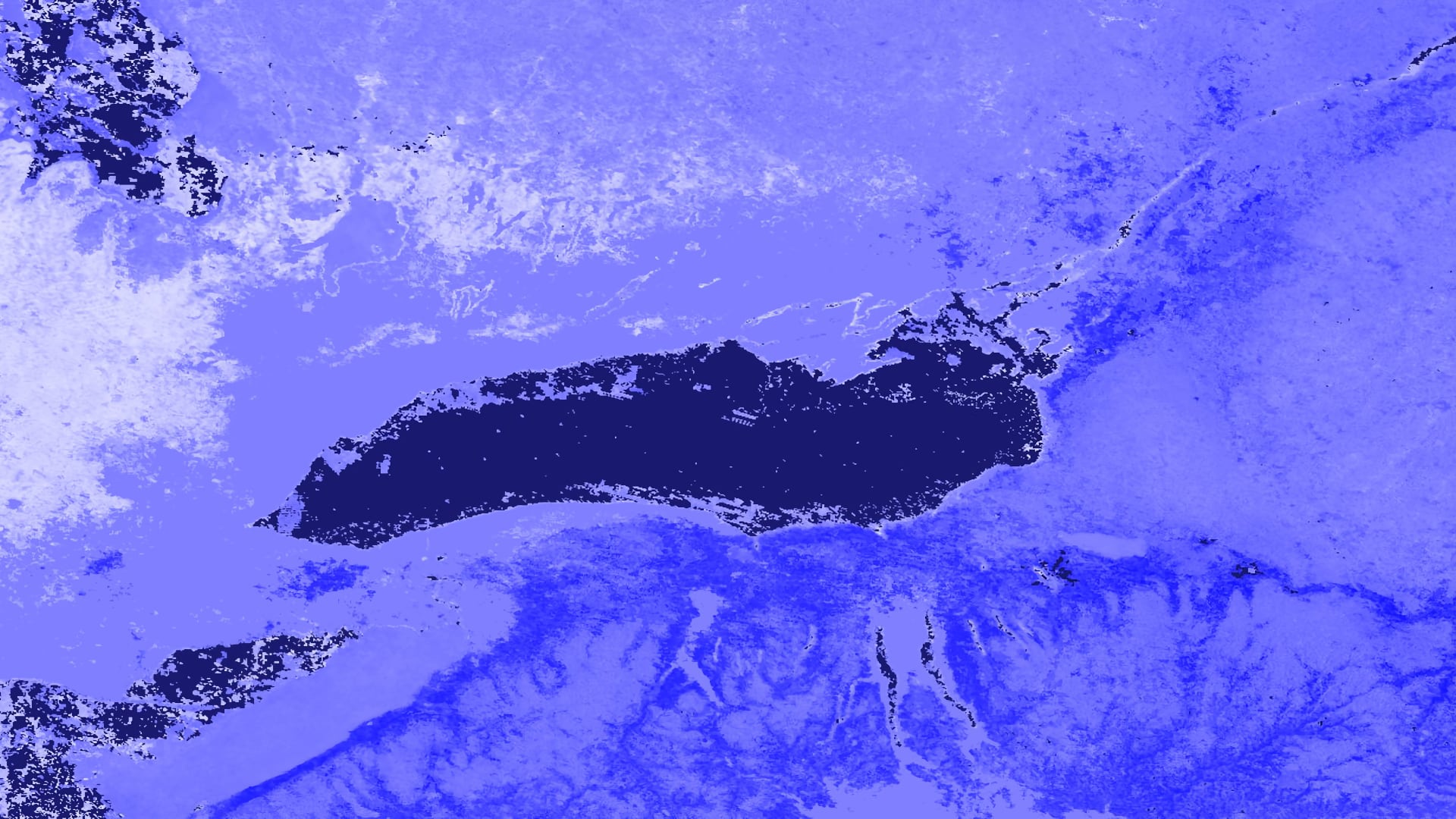

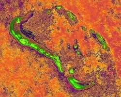
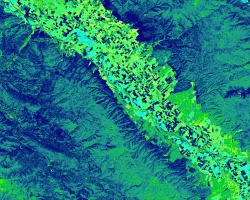
From late January through the beginning of May 2017, an extraordinary amount of precipitation fell in the Lake Ontario watershed. By late April, large swaths of the Greater Toronto Area (GTA), including numerous lakefront properties, beaches, and public recreation facilities, had become inundated with water. Partnering with the City of Toronto, the City of Mississauga, the Great Lakes and St. Lawrence Cities Initiative (GLSLCI), the Credit Valley Conservation (CVC), and the Toronto and Region Conservation Authority (TRCA), this project provided tools for local and regional organizations to improve their response to flood events. These tools used Earth observations from six satellites to produce two end products. Sentinel-1 C-Band Synthetic-Aperture Radar (C-SAR) and Sentinel-2 Multispectral Instrument (MSI) provided data for flood extent maps using a classification algorithm. Global Precipitation Measurement (GPM) Integrated Multi-Satellite Retrievals for GPM (IMERG), Soil Moisture Active Passive (SMAP) L-band Radiometer, Terra Moderate Resolution Imaging Spectrometer (MODIS), and Shuttle Radar Topography Mission (SRTM) contributed precipitation, soil moisture, snow cover, and elevation data used in a Google Earth Engine (GEE) data visualization tool. The results of this project demonstrated the feasibility of GEE as a platform for providing municipalities in the Toronto metropolitan area with tools to understand and visualize flood behavior and associated patterns in hydroclimatic variables. Thus, these municipalities are better prepared to protect the most vulnerable flood-prone areas in the GTA.