Maldives Climate (Fall 2022)
Team: Aidan Harvey (Project Lead), Daniel Lopez, Mitch Porter, Derek Chin
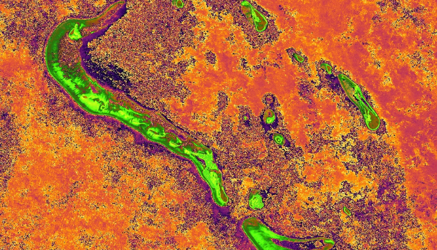
Summary: Global sea level rise as a result of climate change continues to pose a critical threat to coastal ecosystems and populations. The archipelagic country of the Maldives is of critical concern due to being one of the lowest-lying areas in the world. The development of reclaimed land in the Maldives by sand dredging has been a frequent response to both increasing sea levels and population increase. Such disturbance can lead to increased sedimentation off the coast and negatively impact coastal environments. Remote sensing tools such as satellite imagery have proved to be effective tools in observing coastal changes in response to climate change and development. The NASA DEVELOP team created a methodology to analyze water quality and shoreline erosion in the Maldives utilizing satellite imagery. Our methods relied on open-source software such as QGIS and Google Earth Engine (GEE) and Satellite Imagery from PlanetScope, Landsat 8 Operational Land Instrument (OLI) 2, Sentinel-2 Multi-Spectral Instrument (MSI), and Aqua & Terra Moderate Resolution Imaging Radiospectrometer (MODIS) to analyze the changes in shorelines and assess water quality of select atolls within the Maldives. We found that there is less shoreline change in developed parts of the island and more shoreline change in natural parts of the island. Additionally, water quality varies throughout the year, and our data did not indicate seasonal trends. Our methodology will be replicated to continue to monitor island erosion and water quality in the Maldives and will be applicable to other island and coastal systems.
Deliverables:
Related Impact