Georgia Disasters (Fall 2022)
Team: Isabella Chittumuri (Project Lead), Nancee Uniyal, Nathan Tesfayi, Shakirah Rogers
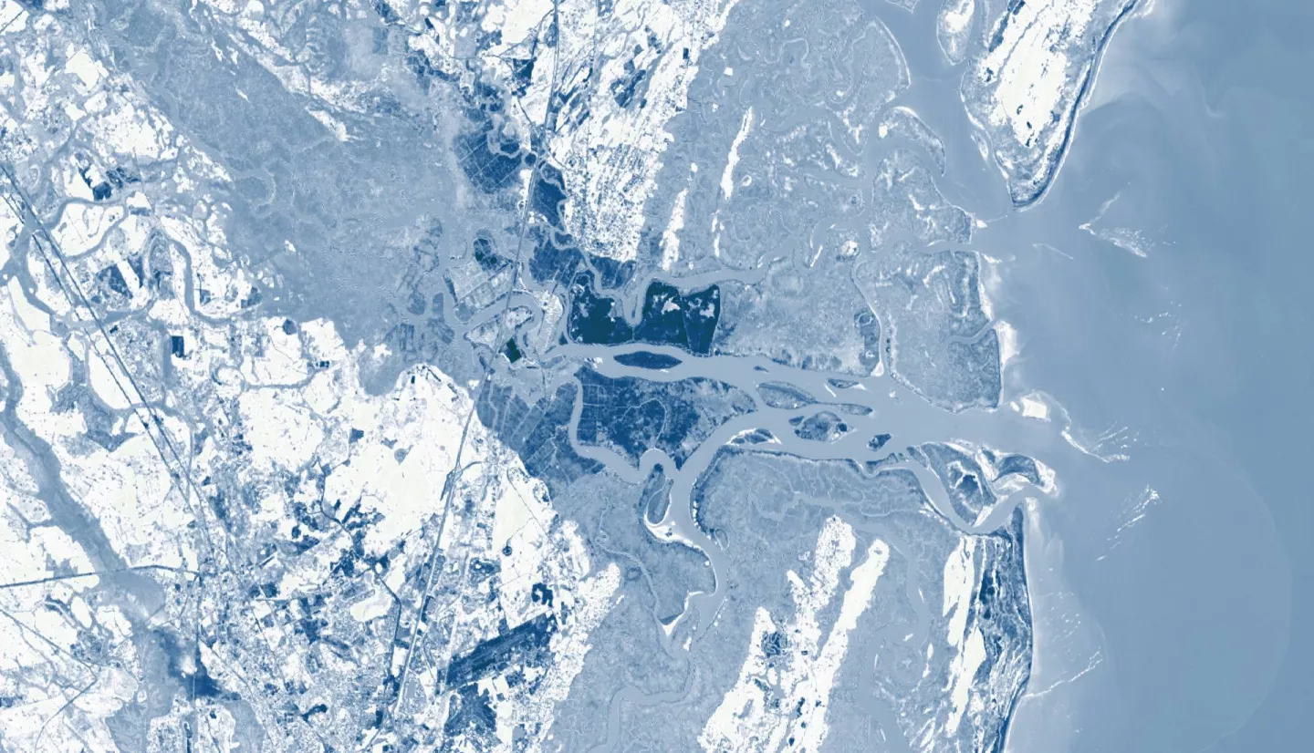
Summary: In September 2017, Hurricane Irma made landfall in southern Georgia, causing severe flooding and widespread destruction. Disaster recovery programs were inaccessible for heirs' property owners due to title difficulties due to a lack of formal property titles. The NASA DEVELOP team worked in partnership with The Georgia Heirs Property Law Center (The Center) to identify potential heirs' properties impacted by Hurricane Irma. We utilized surface reflectance data from Landsat 7 Enhanced Thematic Mapper Plus (ETM+), Landsat 8 Operational Land Imager (OLI), and Sentinel-2 MultiSpectral Instrument (MSI) as well as backscatter data from Sentinel-1 C-band Synthetic Aperture Radar (C-SAR) to create flood extent maps and a socioeconomic overlay. To identify potential structural damage, we used optical imagery data from PlanetScope and RapidEye. We produced flood extent maps by consolidating Earth observations in NASA SERVIR’s Hydrologic Remote Sensing Analysis for Floods (HYDRAFloods) tool in Google Earth Engine (GEE). To produce a socioeconomic overlay, we used Computer Assisted Mass Appraisal (CAMA) data to identify areas of heirs’ properties' likelihood. Our flood extent map results found that backscatter data were more reliable than surface reflectance, resulting in mainly coastal flooding. With these maps, we created a socioeconomic overlay for Camden County. Lastly, we found only nine potential instances of structural damage in Albany, Doughtery County. These end products will allow the Center to make informed decisions about allocating funds to provide disaster assistance for heirs’ property disaster assistance owners impacted by Irma.


