Haiti Agriculture II (Summer 2022)
Team: Kelli Roberts (Project Lead), Justin Meyer, Rajneesh Sharma, Monique Howlett
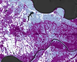
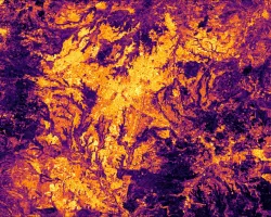
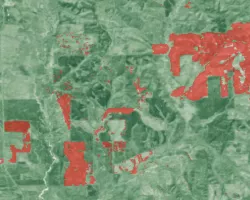
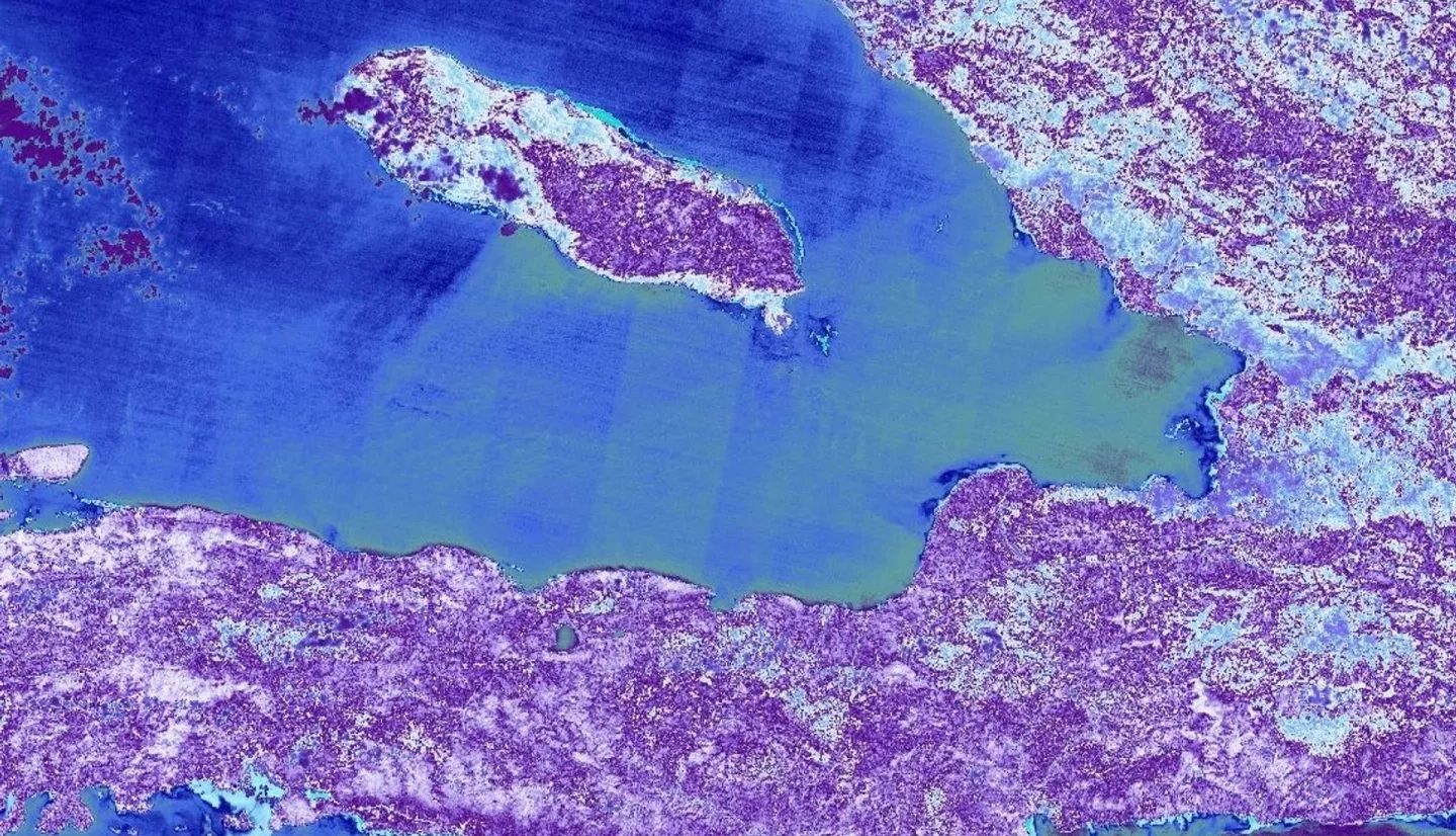
Summary: The Caribbean country of Haiti has an extensive history of deforestation and environmental degradation stemming from French colonization. Over the past 33 years, the Haiti Reforestation Partnership (HRP) and their partners, Comprehensive Development Program (CODEP), have planted approximately 15.52 million trees. However, these efforts lacked scientific guidance to ensure successful forest stand survival. The NASA DEVELOP team partnered with the HRP to create a habitat suitability model (HSM) by using PlanetScope and Sentinel-2 Multispectral Instrument (MSI) imagery. The team also incorporated Landsat 8 and 9 OLI surface temperature, Centre National de L’Information Geo-Spatiale (CNIGS) Airborne Lidar, and ancillary datasets to analyze areas suitable for future reforestation efforts. The habitat model suggested locations with higher forest stand survival based on topography, soil health, climate, and feasibility to access suggested locations. We confirmed the HSM through a cross-analyzation of high enhanced vegetation index (EVI) values. Areas with lower EVI values and higher suitability based on the HSM were suggested for future planting as they lack well-established forest stands, but have optimal conditions for growth. Through the creation of the HSM, the team provided the HRP with static maps of high suitability, a 3D printed elevation model, and a guidebook for animators. Additionally, the team provided a structured video highlighting the HRP’s efforts. Effective reforestation and better forest stand survival would help to achieve the goal of securing community food security. This would also serve as a guide to expand planting efforts into other locations and communities.
Related Impact