Guatemala & Panama Urban Development (Fall 2022)
Team: Jennifer Ruiz (Project Lead), Coral Del Mar Valle Rodríguez; Viviana Lademan; Aaron Whittemore
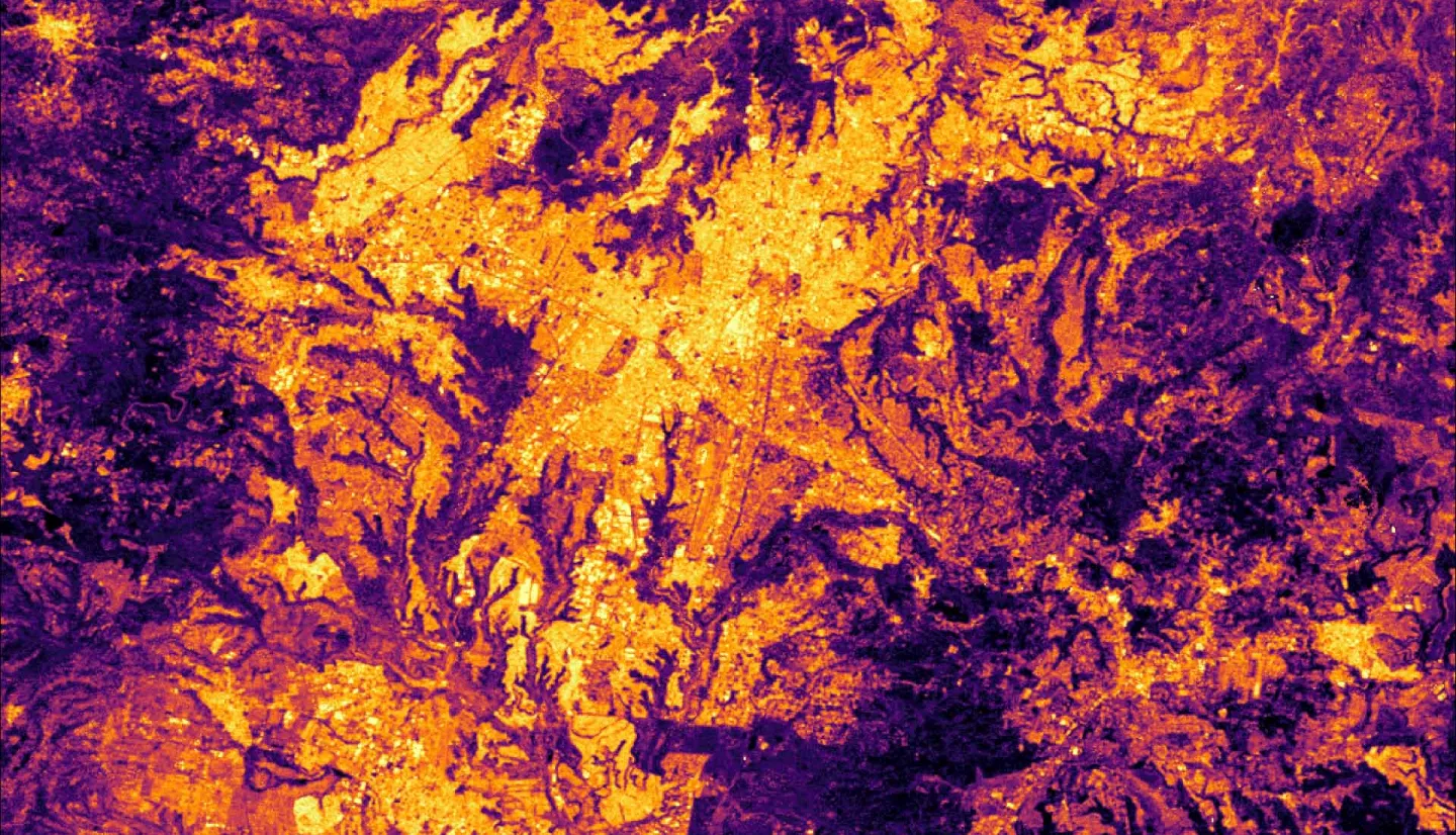
Summary: Central America is experiencing rapid and unregulated urban expansion, which is contributing to an increase in socioeconomic and environmental risks, including inequities in infrastructure and housing accessibility, biodiversity loss, vulnerability to natural disasters, and negative health outcomes. NASA DEVELOP, in partnership with NASA SERVIR, Sistema de la Integración Centroamericana (SICA), Secretariat of Central American Social Integration (SISCA), Deutsche Gesellschaft für Internationale Zusammenarbeit (GIZ), and Centro de Coordinación para la Prevención de los Desastres en América Central y República Dominicana (CEPRENEDAC), examined changes in urban extent, characterized roofing material type, and analyzed vulnerability within urban areas in two Central American cities, Guatemala City and Panama City. The team used land cover imagery from Landsat 5 Thematic Mapper (TM), Landsat 7 Enhanced Thematic Mapper Plus (ETM+), Landsat 8 Operational Land Imager (OLI), and Landsat 9 OLI-2 to map urban extent and surface reflectance data from Maxar Worldview to identify roofing material types. Socioeconomic and environmental data were used to assess vulnerability. Results depict how the two cities have expanded from 2000 to the present day and highlight areas of greatest vulnerability within each urban area. The supervised classification of roofing materials performed well but could be improved with a few enhancements. Findings can help partner organizations improve the monitoring of urbanization and inform their planning and decision-making while prioritizing disaster prevention, public health, and environmental integrity. Additionally, these case studies can be used to inform future similar work elsewhere in Central America to aid in understanding urbanization and its associated challenges.
Related Impact