Imagen
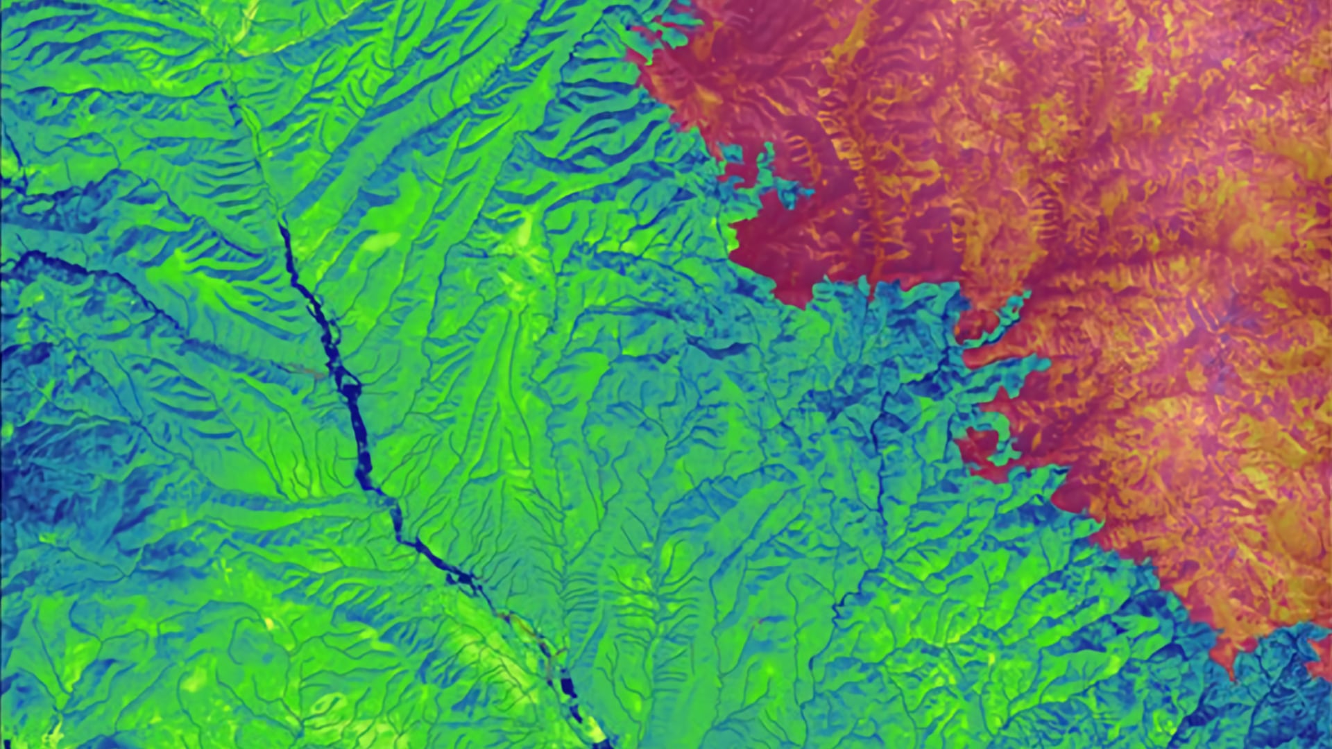
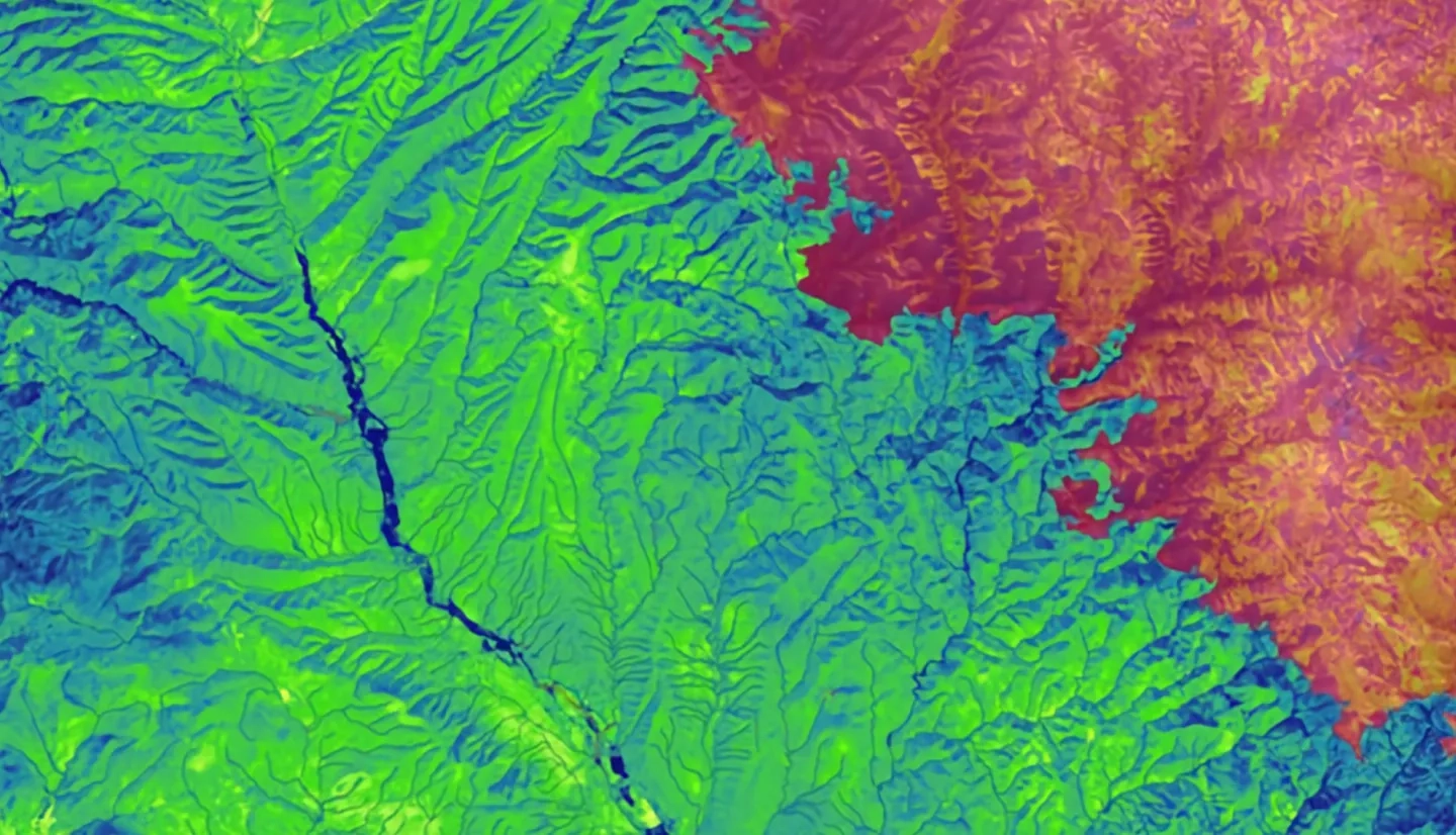
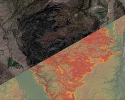
Wildfires have the potential to cause devastating and long-lasting impacts on ecological systems. In the Gila National Forest (Gila NF), wildfire events have occurred with increasing frequency and severity over recent years. These disturbances, such as the historic Whitewater Baldy Complex Fire (2012) and Silver Fire (2013), have raised concerns over post-fire flooding, debris flows, and vegetation recovery. Understanding connections between burn events and ecological functions is crucial for developing effective land management practices within the Gila NF that ensure conservation of the watershed. The Gila Water Resources II team worked in partnership with the US Department of Agriculture (USDA) US Forest Service’s (USFS) Gila National Forest and Region 3. This project provided insight into the influence of wildfires on increased flooding events and determined if restoration efforts in the Gila NF are having a beneficial impact on vegetation regeneration. To understand recovery trends and hydrologic impact in the Gila NF between 2000-2019, this project used Landsat 5 Thematic Mapper, Landsat 7 Enhanced Thematic Mapper Plus, Landsat 8 Operational Land Imager, Global Precipitation Measurement Integrated Multi-satellite Retrievals for GPM precipitation, along with ancillary data from USGS stream gauges and data provided by USDA USFS’s Gila National Forest and Region 3. Based on these data, the team identified burn areas that received restorative treatments and compared Normalized Burn Ratio for different land cover types to better inform land management decisions. Additionally, the team analyzed the relationship between precipitation and streamflow from stream gauges to investigate the impact wildfires have on hydrology within the watershed.