Carmel Valley Urban Development (Fall 2022)
Team: Cooper Campbell (Project Lead), Julia Portmann, Devina Garcia, Audrey Wilson
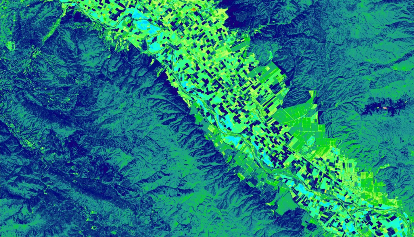
Summary: Urban expansion in diverse ecosystems has numerous detrimental impacts, including diminished biodiversity, impaired water quality, and reduced carbon storage potential. In the Carmel Valley region of California’s Central Coast, the Santa Lucia Preserve (SLP) implemented a unique land management plan in the 1990s to allow limited development while conserving the majority of the land. Our goal was to test whether our partner’s (Santa Lucia Conservancy) management plan reduced urban spread and forest cover loss compared to surrounding areas from 1991 to 2019. Data from Shuttle Radar Topography Mission 7 served as predictor variables in the random forest model. We used Landsat 5’s Thematic Mapper and Landsat 8’s Operational Land Imager (OLI) to classify land cover into eight classes (agriculture, developed [infrastructure], developed [structures], forest, grasslands, rocks/cliffs, shrubs, water) using a random forest classification, then modeled land cover change using IDRISI TerrSet Land Change Modeler (LCM). The best models for both years used all variables and a combined developed class (1991 OOB error = 17.4%, 2019 OOB error = 20.1%). The greatest vegetation loss occurred in grasslands; 11% of grasslands on SLP were developed, along with 14% of public and 12% of private. Throughout the study area, developed and forest land cover increased by 2%, while grasslands decreased by 4% and shrubs by 2%. Approximately 3.5% of privately owned forest was developed, while about 1% of public and SLC-owned forests were. The transition between vegetation classes masked losses within each class, and further analysis of the drivers of land cover change is necessary to fully evaluate the efficacy of the SLC conservation model.
Related Impact