Imagen
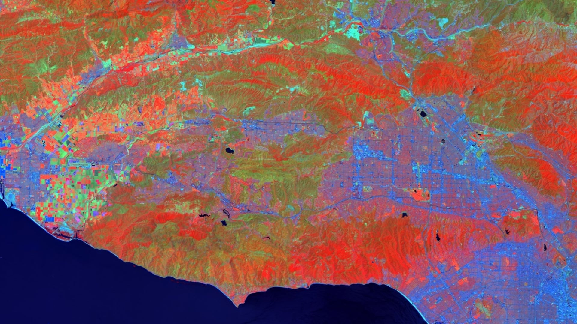
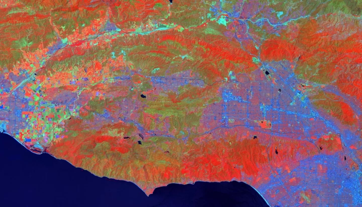
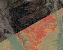
The Woolsey Fire began on November 8, 2018, and lasted for almost two weeks, during which it burned almost 100,000 acres of valuable landscape and habitat, including a vast area of woodland. The persistence of key woodland species provides aesthetic, monetary, and ecological value to the landscape through carbon sequestration, air temperature moderation, and erosion mitigation, among other ecosystem services. This study investigated the impact of the Woolsey Fire on native woodland species distributions and identified areas suitable for restoration within the Santa Monica Mountains National Recreation Area. The team partnered with the Resource Conservation District of the Santa Monica Mountains; National Park Service, Santa Monica Mountains National Recreation Area; California Department of Parks and Recreation, Los Angeles County Division; County of Los Angeles Fire Department, Prevention Services Bureau, Forestry Division; County of Los Angeles Department of Regional Planning; and the University of Montana. The Earth observations used include data from Landsat 8 Operational Land Imager, NASA ER-2 Jet Airborne Visible InfraRed Imaging Spectrometer, Shuttle Radar Topography Mission, and RapidEye. The team produced maps of burn severity from the Woolsey Fire, its impact on plant species distributions, and habitat suitability projections for 2050 and 2099 to assist partners in prioritizing areas for restoration. A plant community classification was successfully created using Multiple Endmember Spectral Mixture Analysis (MESMA). Overall accuracy was assessed at 90.54% by comparing the classification to validation pixels derived from ground truth information provided by our partners.