Team Members: Ufuoma Ovienmhada (Massachusetts Institute of Technology), David Pellow (University of California, Santa Barbara)
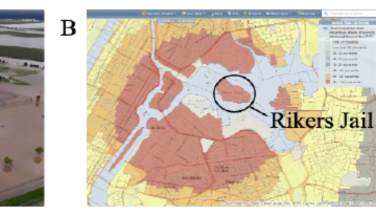
Executive Summary: In recent years, researchers and journalists have elevated a pattern of prison landscapes being exposed to environmental hazards such as air pollution, poor water quality, proximity to hazardous waste facilities, and inadequate mitigation in the face of extreme weather conditions - a pattern frequently referred to as “prison ecology”. Community organizers, lawyers and other environmental justice activists have needs for empirical evidence of the environmental injustices occurring in and around prison landscapes in order to advocate for the rights of incarcerated peoples to live in conditions that are free of life-threatening conditions.
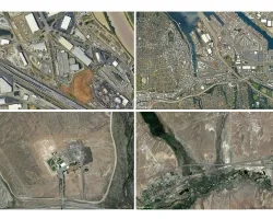
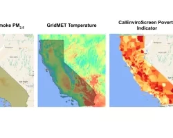
Geospatial data combined with sociodemographic information about prison populations can elucidate spatial patterns of vulnerability to environmental hazards and support decision-making workflows to advance equity and environmental justice (EEJ) in these underserved landscapes of primarily low-income people of color. To this end, this project pursues an objective to co-design and prototype an operational geographic information system that responds to data needs in decision-making workflows for prison ecology activist organizations. This objective is part of an ongoing partnership with community based organizers affiliated with the Campaign to Fight Toxic Prisons (CFTP) which is a national collective of environmental justice organizers, formerly and currently incarcerated folks and their loved ones, organizing resistance at the intersection of incarceration and the environment. Preliminary landscape analyses have identified several EEJ decision-making geospatial data needs from the perspective of the CFTP. Geospatial data can support immediate efforts to improve the material conditions of incarcerated people or longer term efforts to affect policy and governance of controversial prison projects in toxic landscapes. The project applies peer-reviewed remote sensing methods using data from a suite of sources such as Landsat, SEDAC, Sentinel 1, Sentinel 2, and Sentinel 5 for monitoring of disasters and other ecological forecasting relevant to EEJ data needs. The Geographic Information System (GIS) visualizing these analyses will be prototyped by Blue Raster, a firm that specializes in designing interactive web mapping applications.
This research will be the first comprehensive national study of prison ecology using measurements from satellites and will elevate an issue that has been relatively invisible in broader environmentalism movements. The outcomes of this project will enhance the capability of prison environmental justice activists to apply satellite-based remote sensing data to support community level management to advance EEJ for underserved populations in prison landscapes. In the government domain, the research will consider how remote sensing could improve screening tools or legal processes to prevent or remedy prison ecology issues. In the public domain, the research will consider how remote sensing could inform strategy or media campaigns to support real-time grassroots organizing for just outcomes.
Related Impact