Leveraging Earth science data to heighten awareness of environmental injustices within the U.S. prison system
Team: Dr. Carrie Chennault (Colorado State University; Prison Agriculture Lab), Dan Carver (Colorado State University; Geospatial Centroid)
Executive Summary:
Despite the numerous cases of environmental injustices documented in U.S. prisons by researchers, activists, journalists, and federal government, the examination of prisons as sites of environmental injustice is still understudied. However, prisons are by definition EJ communities, as they are highly overrepresented by people of color, indigenous persons, and low-income individuals, and have no choice but to endure any adverse environmental health threats. Our research is addressing this vital environmental justice research gap by leveraging NASA’s Earth science data—including satellite, land cover, climate, and air quality datasets—in a novel way to characterize the environmental harms faced by incarcerated people across the U.S. in all state- and federally-operated prisons.
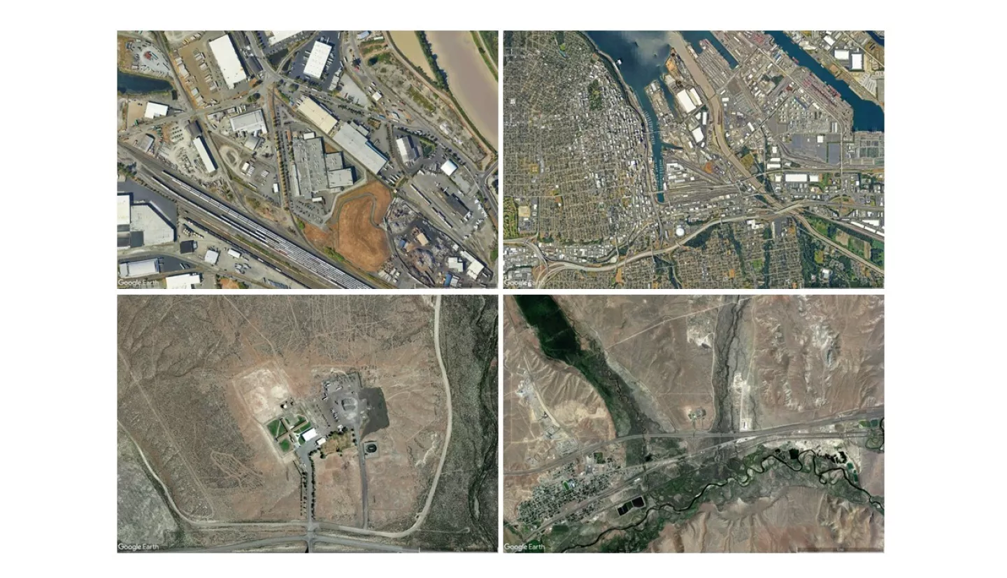
The objectives of our project were to 1) quantify the environmental conditions at all state and federal prisons in the U.S. (n = 1,865) using NASA’s various Earth science datasets and geospatial analysis, 2) calculate a standardized vulnerability index for each prison, developing a comparable metric of environmental risk faced by prisoners across the county, and 3) incorporate this information with our extensive dataset and mapping platform on prison agriculture, which includes specific agricultural activities and their drivers (i.e., benefits to the prison system) for over 600 state-run prisons.
The variables and methodology used to calculate the vulnerability index were modeled after multiple established methods for measuring environmental risk. The method incorporates 11 environmental indicators grouped into three components, namely climate risk (heat index, canopy cover, wildfire risk and flood hazard), environmental exposures (Ozone, PM 2.5, pesticide use, and traffic density) and environmental effects (proximity to superfund sites, risk management plan facilities and hazardous waste sites). The main deliverables of our project are 1) an open-access geospatial dataset with calculated values for each environmental indicator and a final environmental vulnerability index for 1,865 U.S. prisons and 2) an open-access, reproducible code base for every step of our analysis to promote the application of these assessments to other institutions and make our data and methods transparent. As a publicly available geospatial dataset, it can be easily added to other EJ mapping interfaces and has the power to highlight spatially differentiated types and levels of risk across counties, states and the entire U.S. This dataset will allow for activists, researchers, policy makers, government agencies and beyond to become aware of and make informed decisions to mitigate environmental injustices faced by prisoners across the U.S.