Kansas City Disasters (Summer 2022)
Team: M. René Castillo, Hadwynne Gross, Eric Sjöstedt, Raychell Velez
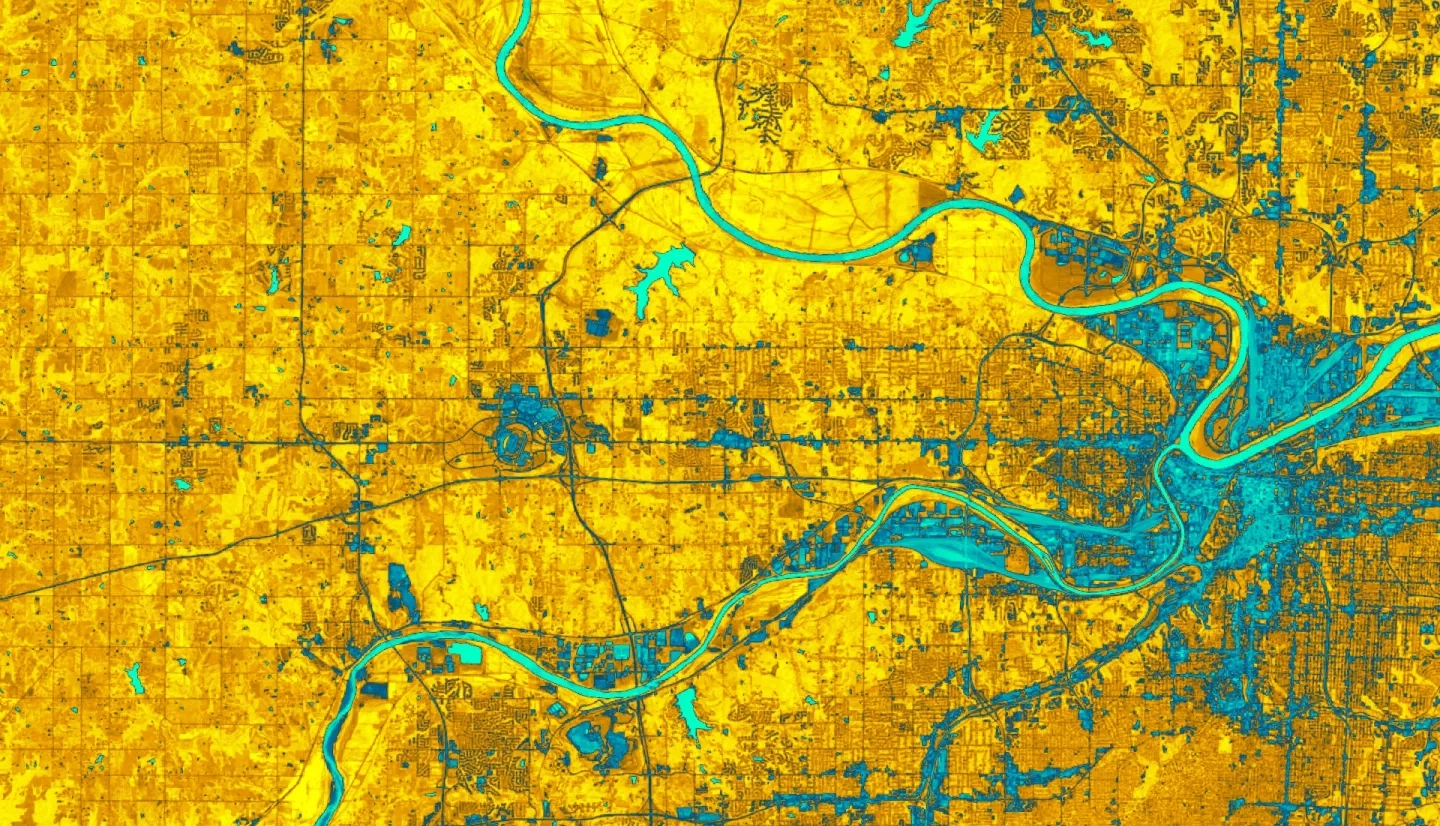
Summary: Pluvial flooding, over-saturated ground, and poor drainage systems disproportionately impact historically disinvested neighborhoods during extreme rainfall events independently of overflowing water bodies. These communities are impacted by physical and socioeconomic factors that make them vulnerable to flooding events, such as high concentration of impervious landcover, high precipitation rates, and a combined sewer system framework. Despite known vulnerability to environmental hazards, there is a lack of data supporting the potential pluvial street-level flooding events. The DEVELOP team investigated flooding events from June 2010 through June 2021 in Google Earth Engine (GEE) using NASA Earth observation products from the Global Precipitation Measurement (GPM) mission. Alongside the satellite imagery and ancillary datasets, the Natural Capital Project’s Integrated Valuation of Ecosystem Services and Tradeoffs (InVEST) Urban Flood Risk Mitigation model was utilized to generate outputs of runoff retention and potential economic damage for risk mapping of Kansas City, Kansas to aid in identifying areas where future intervention is necessary. Then a cloudburst blue spot model produced spatially-explicit outputs of how pluvial flooding would accumulate across the surface elevation gradients. These resulting maps identify the most vulnerable neighborhoods throughout Kansas City, alongside potential economic damage from flooding. The resulting methodology and end products provide partners from Groundwork USA and Groundwork Northeast Revitalization Group (Groundwork NRG) with a detailed analysis of urban flood risk throughout Wyandotte County, Kansas, and streamline the provision of neighborhood-scale vulnerability analysis to Groundwork USA’s Climate Safe Neighborhoods project.
Related Impact