Imagen
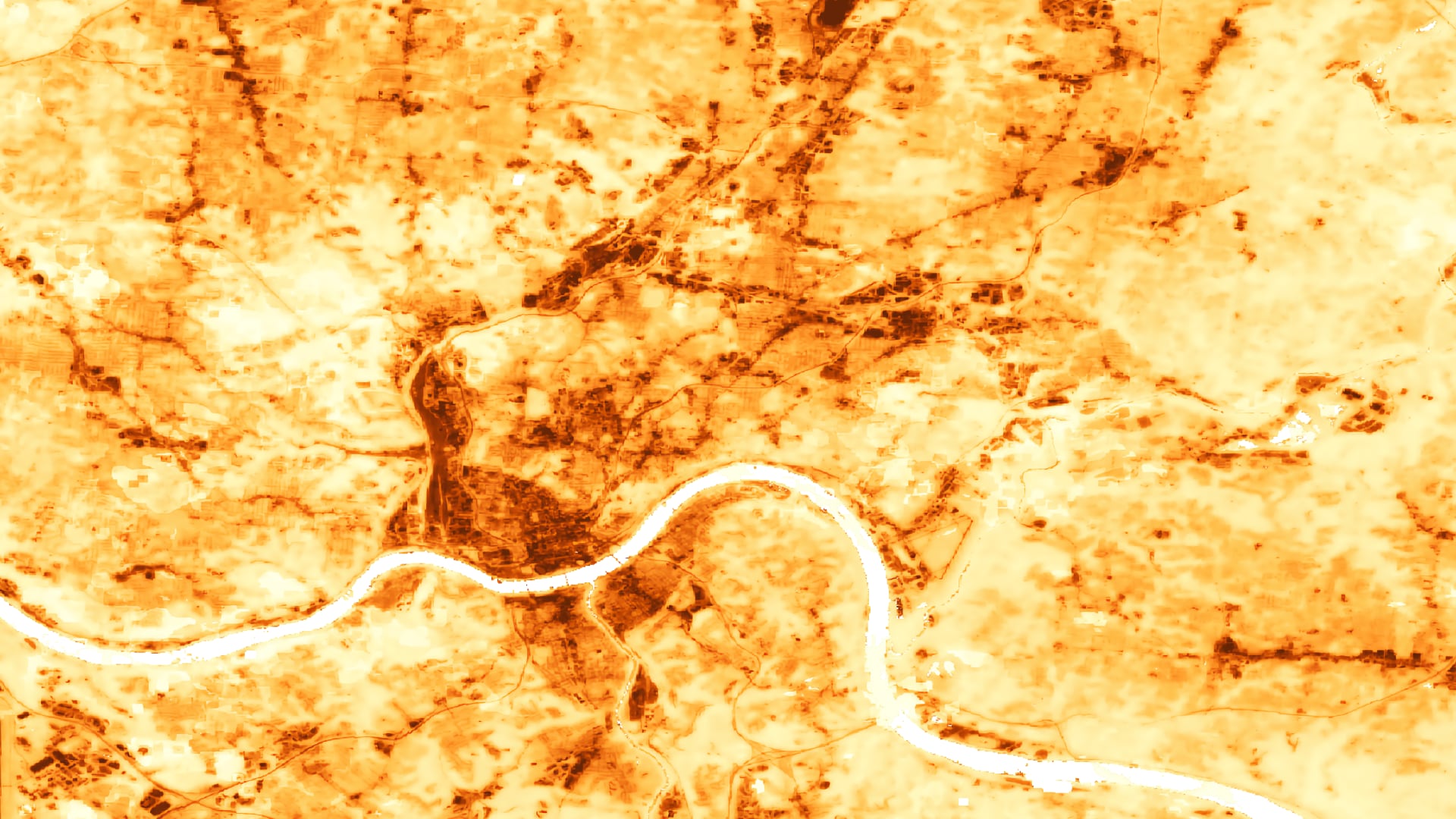
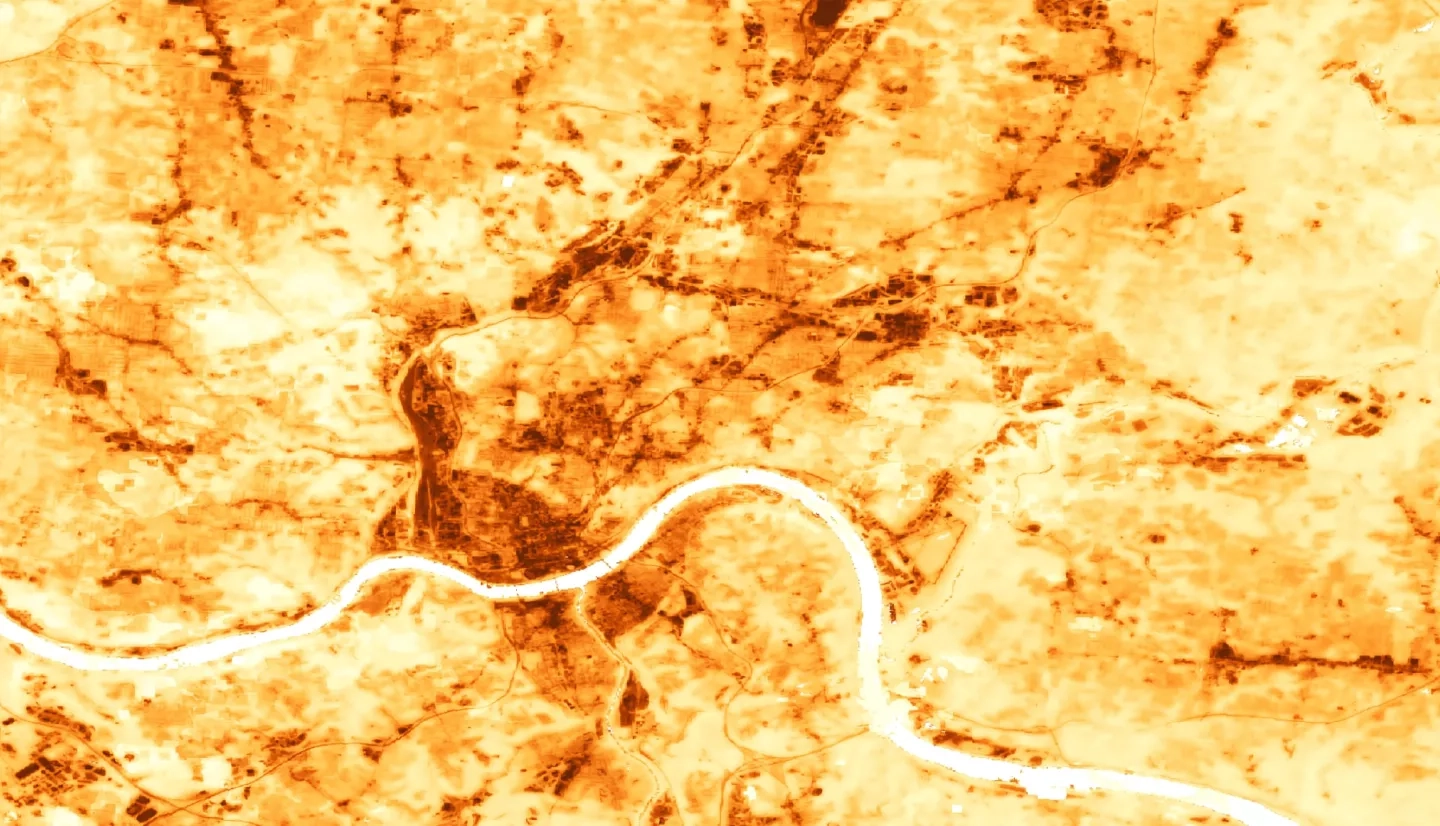
The Urban Heat Island (UHI) effect is a phenomenon characterized by urban areas experiencing temperatures that are, on average, warmer than surrounding suburban and rural regions. UHIs are fueled by expansive impervious surfaces, vehicle emissions, and insufficient urban green space. They can have negative health impacts on densely populated urban centers like Cincinnati, Ohio and Covington, Kentucky. NASA DEVELOP partnered with Groundwork USA and Groundwork Ohio River Valley (ORV) to combine environmental education and outreach with analyses of NASA Earth observations for the summers of 2010 - 2020. The DEVELOP team used Landsat 5 Thematic Mapper (TM) and ISS ECOsystem Spaceborne Thermal Radiometer Experiment on Space Station (ECOSTRESS) to calculate daytime and nighttime land surface temperature anomalies. The team found that the Cincinnati and Covington area is 8.32°F warmer during the day and 4.97°F warmer at night compared to non-urban areas. The team used the Natural Capital Project Integrated Valuation of Ecosystem Service and Tradeoffs (InVEST) Urban Cooling Model to map a heat mitigation index for the study area. The resulting maps show which communities are most vulnerable to impacts of increased urban heat. The team also assessed alternative tree canopy and albedo scenarios with the InVEST model to better understand the effectiveness of potential heat mitigation strategies. The team found that on a city scale, increasing tree cover was a more effective heat mitigation strategy than increasing albedo. This research provides partners at Groundwork USA and ORV with refined methodologies to support future education and outreach.