Imagen
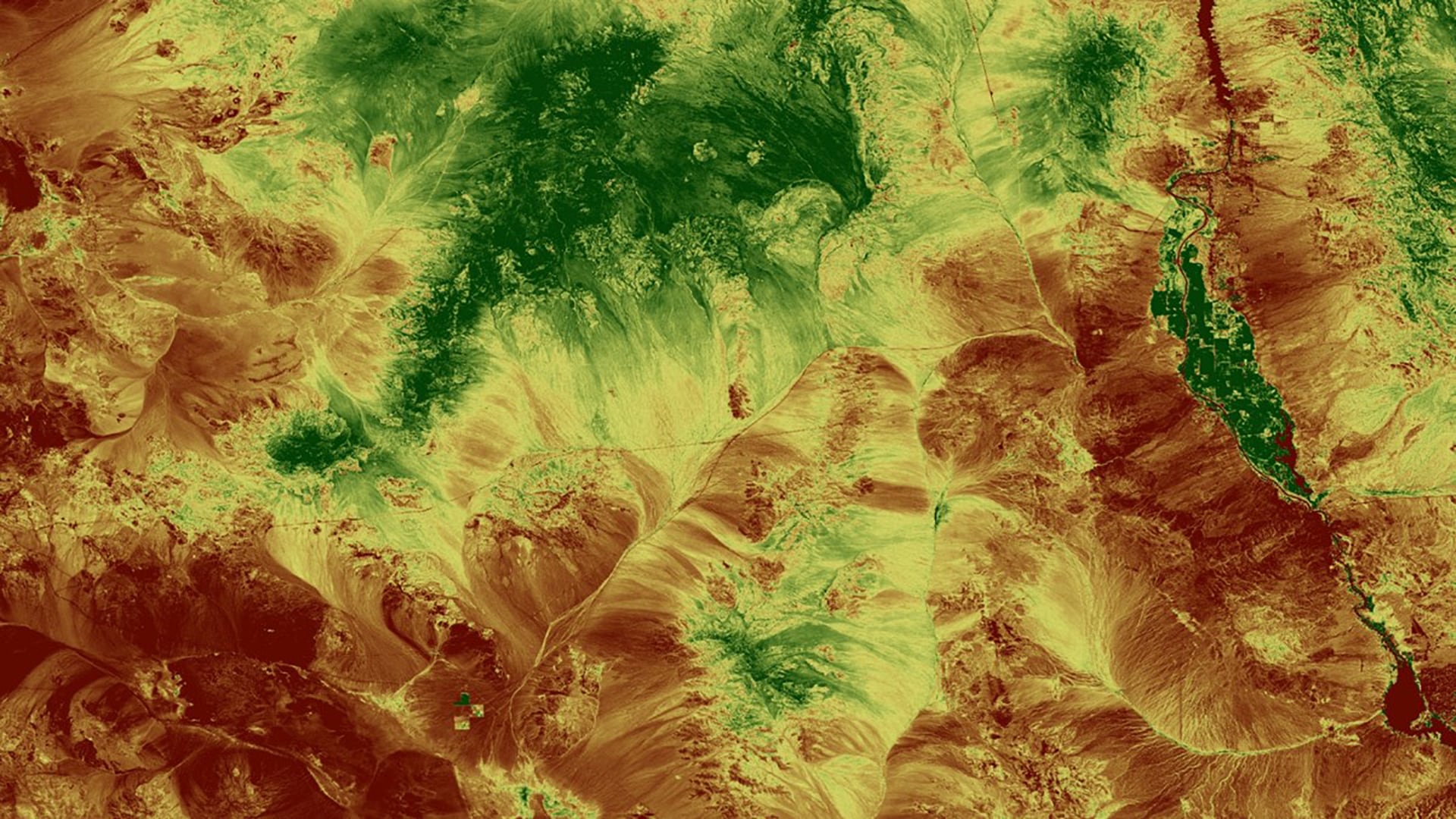
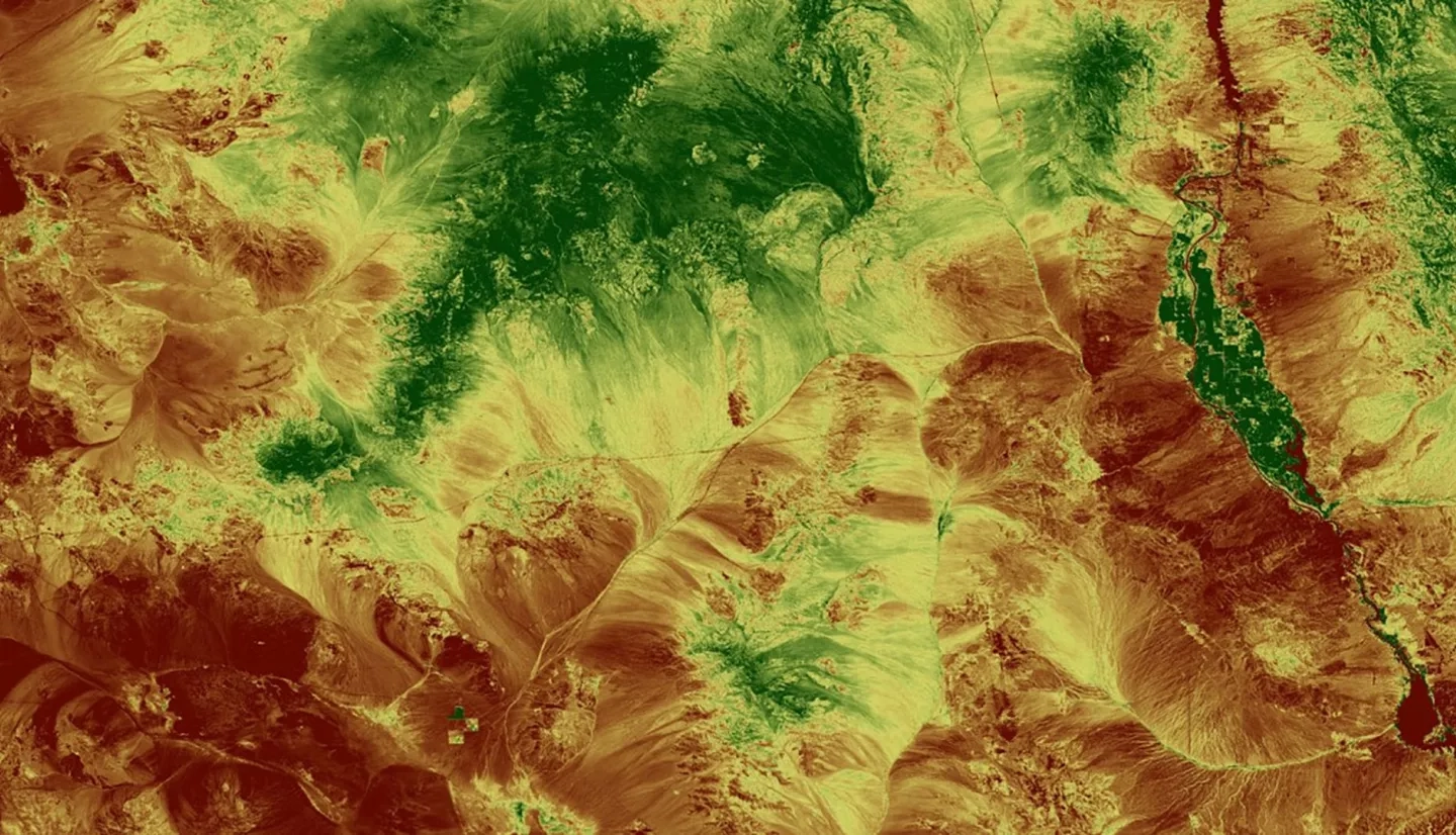
Desert bighorn sheep (Ovis canadensis; BHS) habitat selection is influenced by the relationship between precipitation patterns and habitat vegetation availability. The ability to effectively measure habitat resource quality and availability, and understand mortality rates caused by disease and predation is needed to enhance BHS habitat management. We applied NASA Earth observations, paired with in situ measurements of population distribution, to help assess availability of suitable BHS habitat. Satellite images from NASA's Landsat 8 Operational Land Imager (OLI) and the Aqua and Terra Moderate Resolution Imaging Spectroradiometers (MODIS) were processed into monthly Normalized Difference Vegetation Index (NDVI) maps from 2013 to 2017. We plotted means and standard deviations to identify trends in forage quality and heterogeneity. We acquired precipitation accumulation measurements from the Parameter-elevation Relationship on Independent Slopes Model (PRISM) and the Global Precipitation Measurement (GPM) Integrated Multi-satellite Retrievals for GPM (IMERG) product and compared these precipitation variables to vegetation characteristics within habitat use polygons. Comparative analysis of vegetation indices and precipitation identified areas of perennial or seasonally green vegetation resources with vegetative growth related to persistent or burst precipitation patterns, respectively. The National Park Service and the California Department of Fish and Wildlife will use this information to better understand areas where BHS have steadily-available resources, and to continue the use of NASA Earth observations to aid in future management decisions.