Imagen
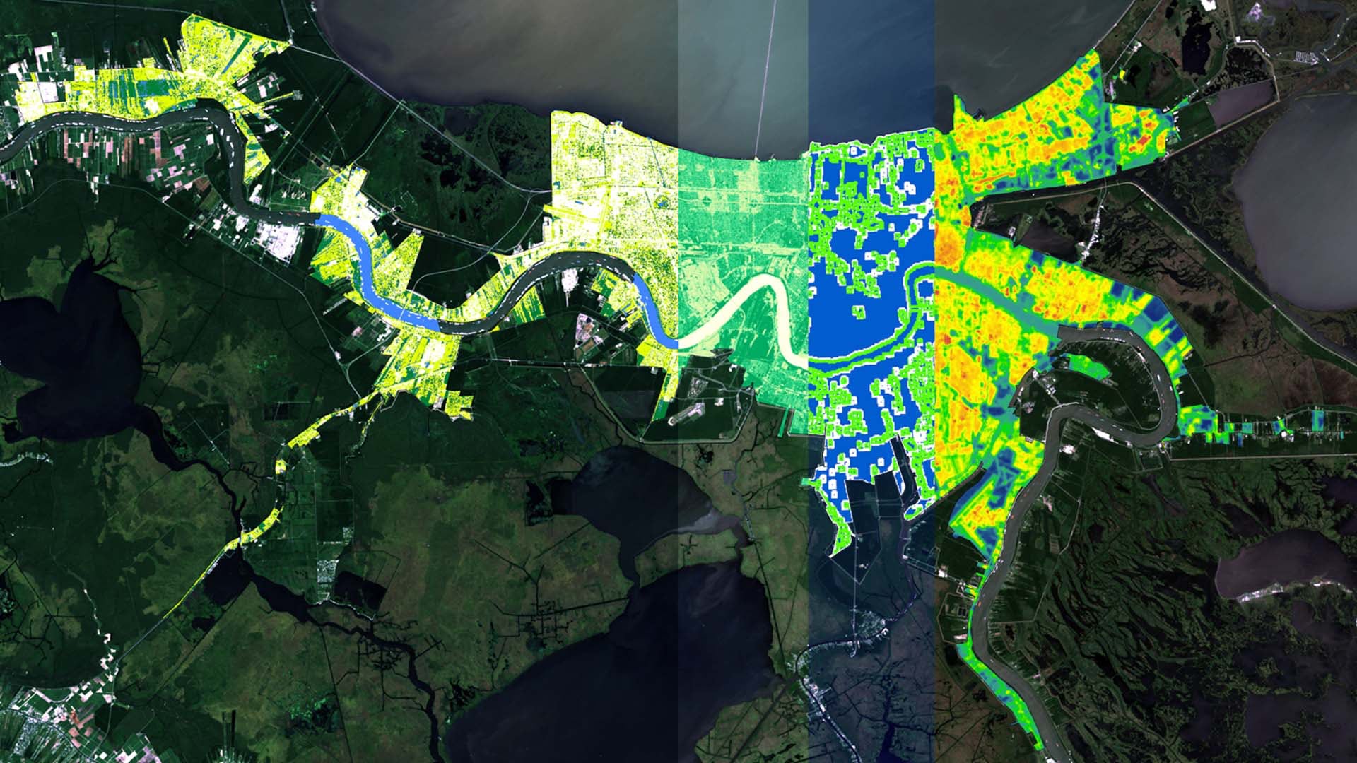
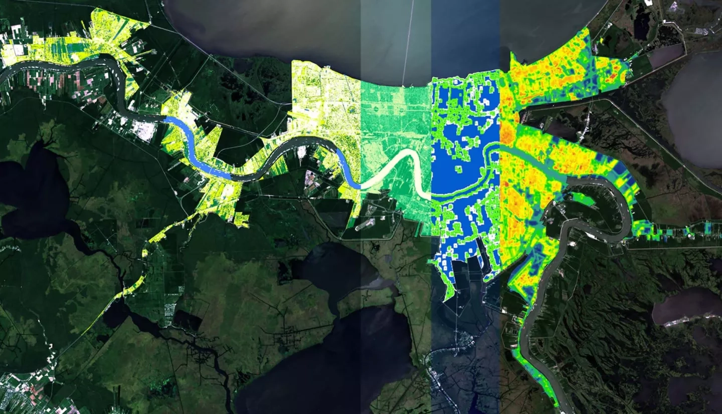
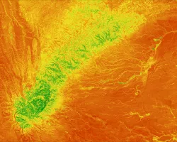
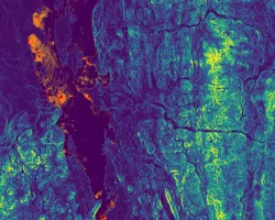
Flooding in New Orleans, Louisiana has increased in intensity and frequency due to sea level rise and land subsidence. Considered one of the rainiest cities in the country, New Orleans often experiences localized street flooding, causing damages to homes and businesses. Groundwork New Orleans (GWNO) is dedicated to increasing urban resilience to flooding by implementing green infrastructure. However, the current practices for site selection and assessment implemented by GWNO are costly and time consuming. NASA and ESA Earth observation data were acquired and used to create end products that can supplement GWNO's current methods. The project utilized Landsat 8 Operational Land Imager (OLI) and Thermal Infrared Sensor (TIRS), Sentinel-2 Multispectral Instrument (MSI), Sentinel-1 C-Band Synthetic Aperture Radar (C-SAR), and Terra Moderate Resolution Imaging Spectroradiometer (MODIS) imagery from 2013 to 2018. Data were acquired for summer months with consideration to the Atlantic hurricane season to quantify the impact of GWNO's tree planting campaigns and provide additional data to supplement GWNO's current practices towards mitigating flood risk in the area. The team used remote sensing and geospatial analysis to map areas with high surface runoff and flood vulnerability. A land cover classification product and Normalized Difference Vegetation Index (NDVI) assessment were produced to monitor changes in urban tree canopy and impervious surface cover. The Normalized Difference Flood Index (NDFI) and Normalized Difference Flood Vegetation Index (NDFVI), along with land surface temperature data were computed to create a discrete-time series analysis of flood extent along with outlining shallow water in short vegetation and monitor the urban heat island effect in flood vulnerable communities. Project end products will provide GWNO with geospatial evidence of the effectiveness of their current tree-planting project for increasing the urban tree cover and improving community resilience to flooding over time.