Delaware Basin Ecological Forecasting (Summer 2022)
Team: Jack Mezger (Project Lead), Mark Bossinger, Gillian McNamara, Quinn Heiser
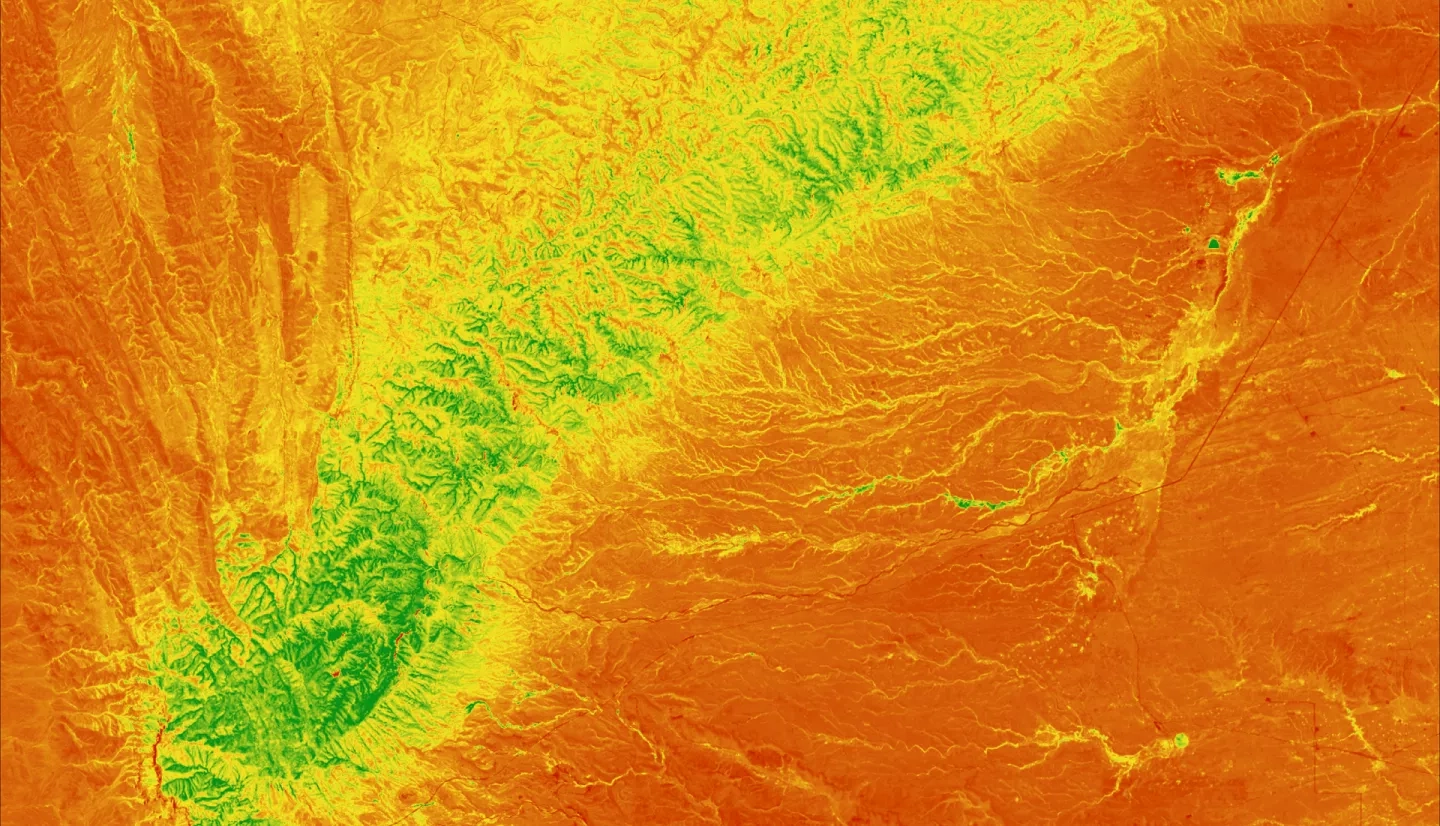
Summary: The Guadalupe Mountains and Carlsbad Caverns National Parks, located in the Delaware Basin in the southwestern United States, observed both a decrease in precipitation and an increase in temperature over the last decade. Furthermore, activity from local oil fields generated nitrogen dioxide (NO2) plumes that spread over the parks and augmented the effects of the drought. NO2 is a precursor for tropospheric ozone (O3), which is known to have adverse effects on vegetation and ecosystems at large. These new climate dynamics prompted the National Park Service (NPS) to collaborate with NASA DEVELOP to assess the impact on vegetation within the parks. We used NASA Earth observations, including Landsat 5 Thematic Mapper (TM), Landsat 7 Enhanced Thematic Mapper (ETM+), Landsat 8 Operational Land Imager (OLI), and Global Precipitation Measurement Integrated Multi-Satellite Retrievals (GPM IMERG) to assess vegetation health, water stress, and precipitation in the affected parks. After creating a homogenous reference area in the Sierra Diablo Mountains, the team visualized vegetation health through a Normalized Difference Vegetation Index (NDVI) time series map from 2010-2021. This did not show strong evidence that the NO2 plume is causing vegetation decline. Following this, we created a water stress map with a Normalized Difference Moisture Index (NDMI) time series map from 2010-2021, which revealed a pattern of increasing water stress. We also confirmed that precipitation in the region decreased over the span of 2010-2021. These observations and findings will allow the NPS Intermountain Region to plan more effectively for the preservation and maintenance of vegetation health within the parks.


