Mexico Disasters (Spring 2022)
Team: Philip Casey (Project Lead), John Willis, Sean Nelsen, Zachary Silberman
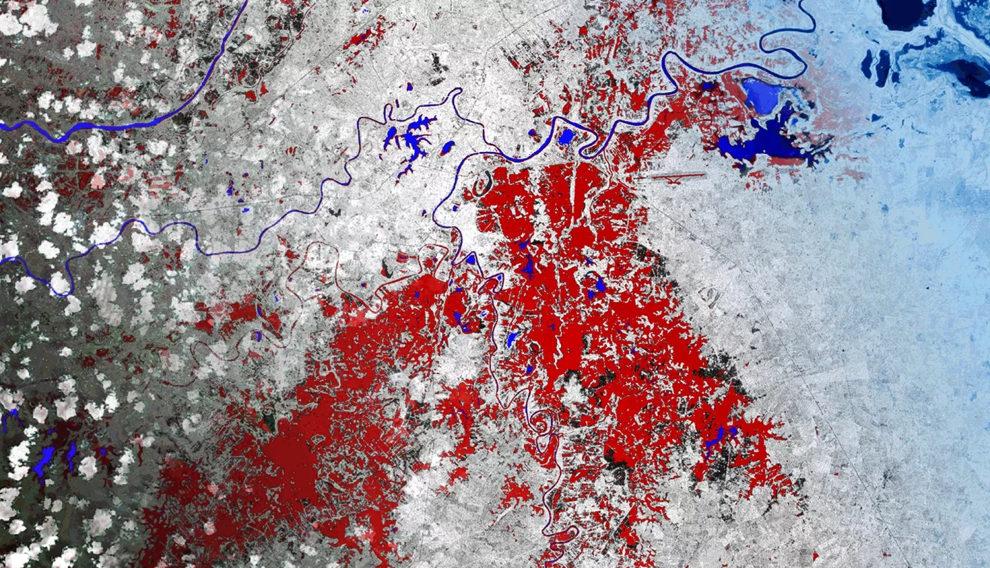
Summary: In this project, NASA DEVELOP partnered with Mexico’s National Institute of Statistics, Geography and Informatics (INEGI); the Committee on Earth Observation Satellites (CEOS) Systems Engineering Office; the United Nation’s Regional Centre for Space Science and Technology Education for Latin American and the Caribbean (CRECTEALC); and the Commonwealth Scientific and Industrial Research Organization (CSIRO) to investigate the accuracy and effectiveness of different flood detection approaches in Mexico. We compared two flood detection methods for the Mexican states of Hildalgo, Tabasco, and Chiapas: CEOS’ Open Data Cube (ODC) and NASA SERVIR’s Hydrologic Remote Sensing Analysis for Floods (HYDRAFloods). These methods leveraged surface reflectance data and backscatter data from NASA’s Landsat 8 Operational Land Imager (OLI) sensor and the European Space Agency’s Sentinel-1 C-band Synthetic Aperture Radar (C-SAR) sensor. The team applied the two flood detection tools to flood event case studies in the areas of interest created by the European Commission's Joint Research Centre Global Surface Water Explorer. We found that ODC and HYDRAFloods were mostly aligned in their detection of flood waters, though ODC picked up more flooding in high-elevation areas because it does not include radiometric terrain correction. HYDRAFloods tended to show more flooding in scenes with a small amount of water due to its automated thresholding for surface water detection. The project produced a Jupyter notebook utilizing ODC, historical surface water maps, a case study analysis of the two methods, and a code video tutorial to support the expedient use of Earth observation data for disaster planning and response.
Deliverables: