Mato Grosso Agriculture (Summer 2022)
Team: Max Rock (Project Lead), Elijah Dalton, Aidan Harvey, Kate Reynolds
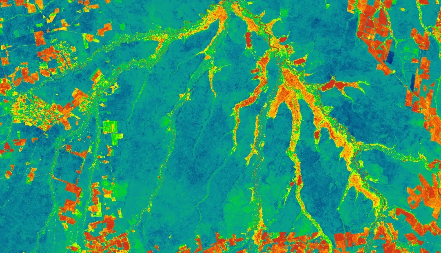
Summary: Ranked as the fourth largest food producer in the world, Brazil is an agricultural powerhouse. Agricultural production at this scale warrants accurate crop monitoring and classification, however, this tropical area is frequently concealed by dense cloud cover in standard optical imagery. To improve the accuracy and spatial coverage of current crop monitoring operations, the team incorporated radar data capable of penetrating cloud coverage to classify second season corn and cotton fields. Utilizing optical imagery from Landsat 8 Operational Land Imager (OLI), as well as radar imagery from Sentinel-1 C-band Synthetic-Aperture Radar (C-SAR), the NASA DEVELOP team worked with the United States Department of Agriculture (USDA) Foreign Agricultural Service (FAS) and World Agricultural Outlook Board to generate a crop classification procedure using a random forest model for accurate mapping and crop area estimates. Additionally, accuracy assessments were performed to ensure confidence in classification accuracy and to allow for comparison with previous classification maps of the area. Classification maps and area estimates produced will be used by the USDA FAS to generate accurate estimates of available commodities as well as assist in policy decision making. The DEVELOP team’s classification procedures were shared with partners, to increase crop classification capacity.
Related Impact