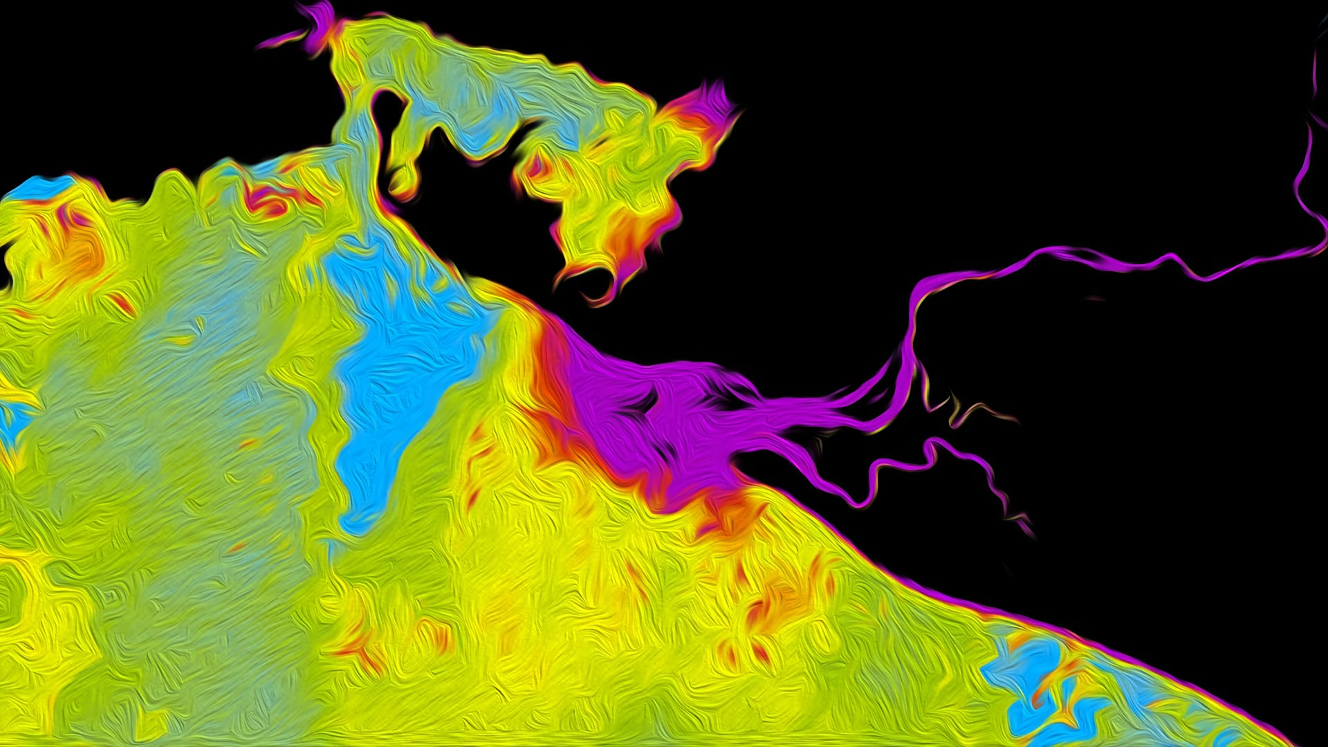
The Osa Peninsula, located in the southern region of Costa Rica’s Pacific coast, is one of the most biologically diverse places on Earth. NASA DEVELOP partnered with Osa Conservation to analyze the impact of human activity on vital water resources, with a focus on determining suitable locations for coral reef restoration in the Golfo Dulce. Coral reefs play a crucial role as a habitat provider, an ecosystem stabilizer, and as food security for marine and terrestrial communities; however, they are highly sensitive to changes in aquatic conditions, which can lead to bleaching and slowed reef accretion. This project used Landsat 5 Thematic Mapper (TM), Landsat 7 Enhanced Thematic Mapper Plus (ETM+), Landsat 8 Operational Land Imager (OLI), and Aqua Moderate Resolution Imaging Spectroradiometer (MODIS) satellite imagery to investigate turbidity and sea surface temperature (SST). These data were compiled into time series maps to assess variability within a season and over the years. The variability data were used to evaluate sites for coral restoration and provide insight into the connections between land use, river health, and fluctuations in water quality within the gulf.


