Lake Champlain Water Resources (Summer 2022)
Team: Brianne Kendall (Project Lead), Laramie Plott, Ian Turner, Aaron Carr
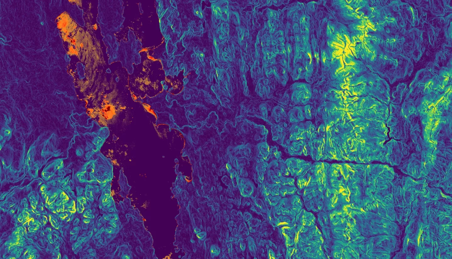
Summary: Lake Champlain provides clean drinking water for 35% of the surrounding watershed and offers recreational opportunities to millions of tourists. However, current levels of cyanobacteria and phosphorus created breeding grounds for harmful algal blooms (HABs). The excess of phosphorus runoff into Lake Champlain over the past decade encouraged toxic cyanobacterial formations, thereby increasing the severity of HABs and their impact on local economy and ecology. In partnership with the Natural Resources Conservation Service (NRCS) Northeast Region, this project utilized Earth observations to identify risk factors associated with toxic algal blooms. The team detected historic algal bloom trends with Sentinel-2 MultiSpectral Instrument (MSI), Sentinel-3 Ocean and Land Color Instrument (OLCI), Landsat 8 Operational Land Imager (OLI), and Landsat 9 OLI-2. The team also used Sentinel-3 OLCI and the German Aerospace Center’s Earth Sensing Imagery Spectrometer (DESIS) to visualize algal bloom patterns and Landsat 8 OLI, Landsat 9 OLI-2, and the Shuttle Radar Topography Mission (SRTM) to identify phosphorus sources within the watershed. The team’s analyses indicated an increase in cyanobacteria blooms during summer months from 2016–2022, with Missisquoi and St. Albans Bay exhibiting the greatest concentrations of toxic events. Furthermore, 16% of the watershed was identified as posing an immediate threat to the lake’s hydrology. The area of greatest concern was the Missisquoi Bay sub-watershed, with 229,044 acres of land prone to excessive phosphorus runoff. Providing this information to the NRCS Northeast Region enabled the organization to quantify risk factors associated with algal blooms and modify mitigation efforts to better target future bloom events.
Related Impact
