Chile Wildland Fires (Summer 2023)
Team: Benjamin D. Goffin (Project Lead), Quinton Deppert, Aashutosh Aryal
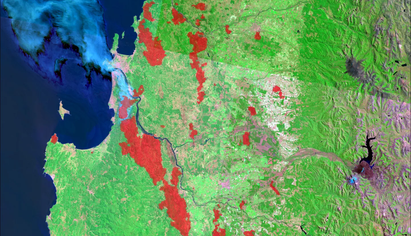
Summary: Since 2010, Central and South-Central Chile have recorded abnormally low annual precipitation, resulting in over a decade-long megadrought. This water deficit has driven more severe wildfires, which begin earlier in the year, last longer, and burn over significantly larger areas. Past studies indicated wildland fires propagate following vegetation stress and under certain soil moisture conditions. Our work further investigated the drivers of the unprecedented wildfire that devastated Central and South-Central Chile in 2017 and 2023. To that end, we leveraged NASA Earth observations from space to explore the link between terrestrial variables and wildland fires. We first delineated the burnt extent using data from Landsat 9 Operational Land Imager (OLI), along with the combined information from Terra + Aqua Moderate Resolution Imaging Spectroradiometer (MODIS). Next, we analyzed vegetation health based on the Normalized Difference Vegetation Index (NDVI) and evapotranspiration (ET) products of Terra MODIS. Furthermore, we examined soil moisture data from the Soil Moisture Active Passive (SMAP) mission. As the megadrought continues, we found greater anomalies and stress in vegetation indices across the region. We also identified certain pre-fire conditions in soil moisture and evapotranspiration in the days and months leading to the recent wildfires. We compared these findings against control areas that were not impacted by wildfires. Using satellite-based NASA Earth observations, we were able to provide insights into potential indicators of wildfire risk, which can augment future risk assessment and management efforts.
Deliverables:
Related Impact