Chesapeake Bay Water Resources (Summer 2022)
Team: Katherine Hahn, Julia Atayi, Julia Portmann, Abigail Sgan
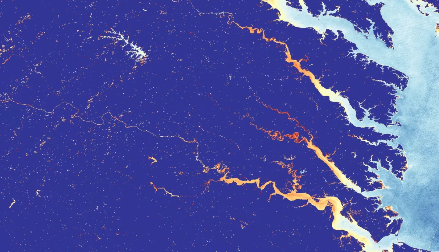
Summary: An increase in total suspended sediment (TSS) concentrations and turbidity have contributed to poor water quality in the Chesapeake Bay since the 1970s. Although turbidity and TSS have been moderately improving over the past few decades, poor water quality is detrimental to the Chesapeake Bay’s ecosystems and the surrounding watersheds. The Summer 2022 Chesapeake Bay Water Resources project observed sediment dynamics and turbidity in the York River watershed using remote sensing tools, models, and Earth observations including NASA and United States Geological Survey’s (USGS) Landsat satellite series, NASA DEVELOP’s Optical Reef Coastal Area Assessment Tool 2.0 (ORCAA), and Soil and Water Assessment Tool (SWAT). The collaborators on this project were the Chesapeake Bay National Estuarine Research Reserve (CBNERR), Group on Earth Observations (GEO) AquaWatch, the Committee on Earth Observation Satellites Coastal Observations, Applications, Services and Tools (CEOS COAST), and the Virginia Department of Environmental Quality (VA DEQ). The team concluded that the upstream sections of the York River watershed increased in TSS from 2009–2019. However, the seasonal TSS patterns often correlated with higher precipitation levels, although not necessarily major storm events. This may be due to factors like wind and waves contributing to the sedimentation trends observed. Although projects have been conducted to improve water quality, additional efforts like planting riparian buffers along areas with high TSS are needed to reduce the intensity of runoff. The team’s results will allow the end user, the VA DEQ, to inform their policymaking regarding future Bay conservation efforts.
Project Deliverables: