Imagen
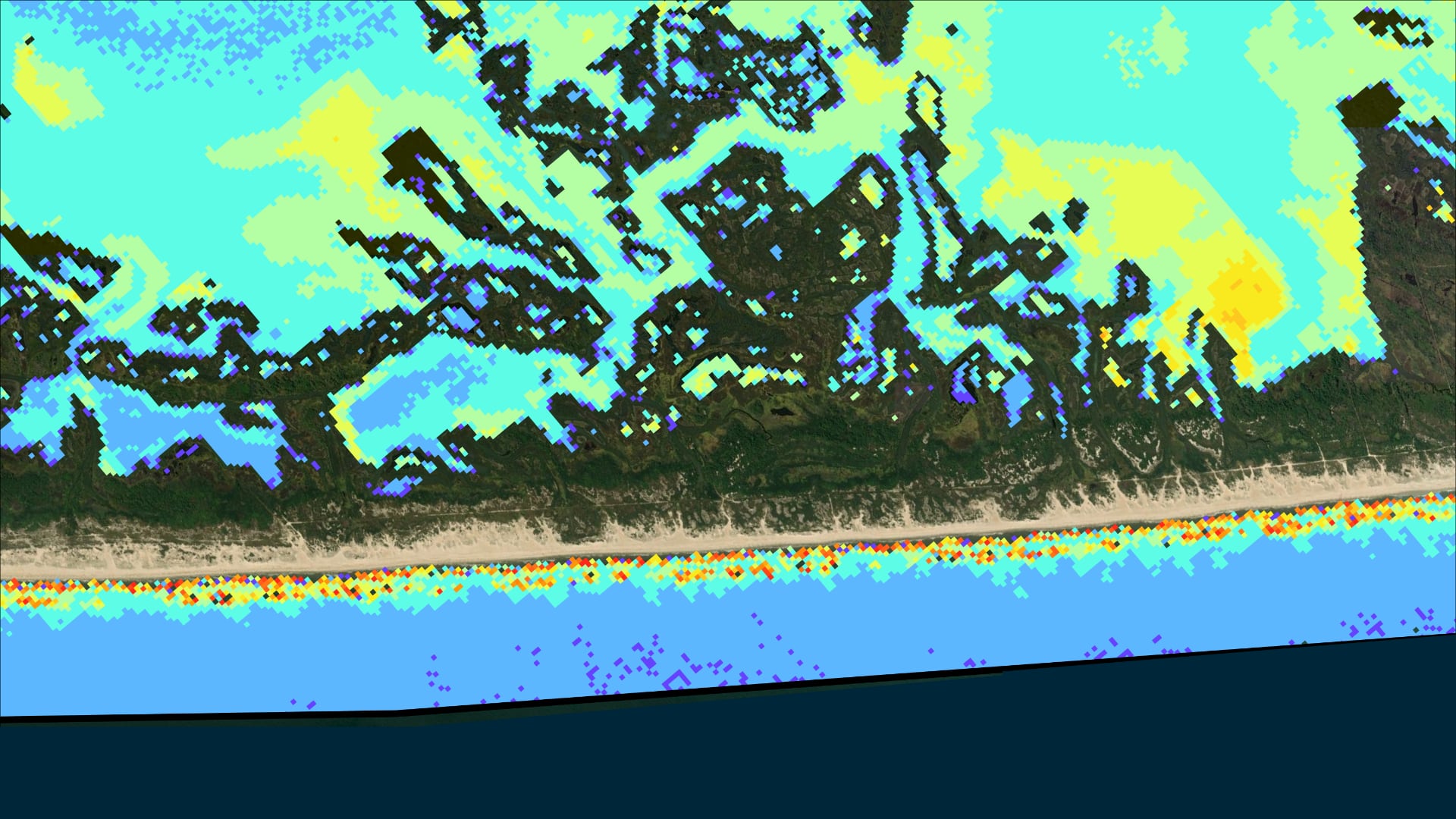
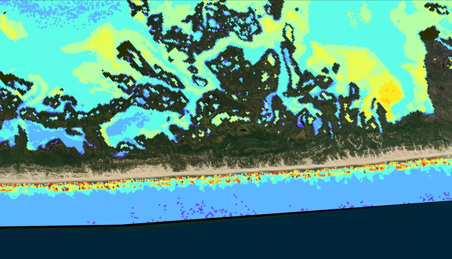
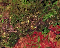
Assateague Island is located off the coast of Maryland and Virginia and serves as a home to sensitive species and habitats. However, infrastructure development disrupted the natural sediment transport processes of the barrier island, which accelerated erosion of the island’s shoreline. To counteract this, the United States Army Corps of Engineers (USACE) initiated semiannual sediment bypassing operations in 2004. Over time, financial constraints limited the amount of sediment deposition possible, leading to concerns over navigational issues in nearby channels and the possibility of the operations not providing their intended benefits. To address these issues, NASA DEVELOP partnered with the National Park Service NPS and USACE. The team performed time series analyses of nearshore suspended sediment from 2004-2020 and landcover change from 2006-2018 with satellite imagery from Landsat 5 Thematic Mapper (TM), Landsat 7 Enhanced Thematic Mapper Plus (ETM+), Landsat 8 Operational Land Imager (OLI), and Sentinel-2 MultiSpectral Instrument (MSI). The sediment transport analyses showed that suspended sediment levels are seasonally dependent. Meanwhile, historical land cover trends included a net increase in unconsolidated shore and a net decrease in open water. Land cover change was then forecast to 2021, 2031, and 2046 using the IDRISI TerrSet Land Change Modeler. The model predicted the most drastic land cover changes in the southern portion and the least on the eastern foreshore of the island. As a result, this project allows our partners to understand the impact of sediment bypassing operations more fully and make better-informed decisions regarding the island’s management.