Imagen
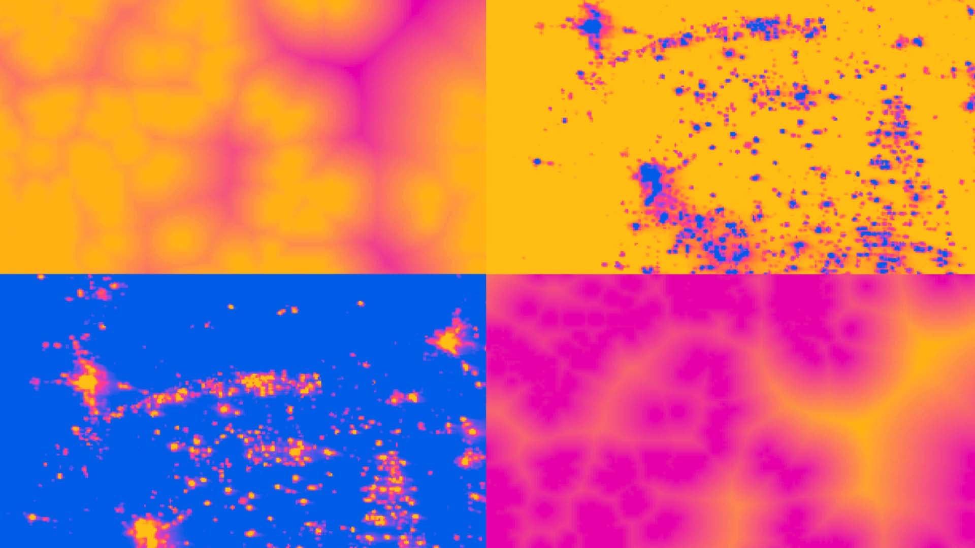
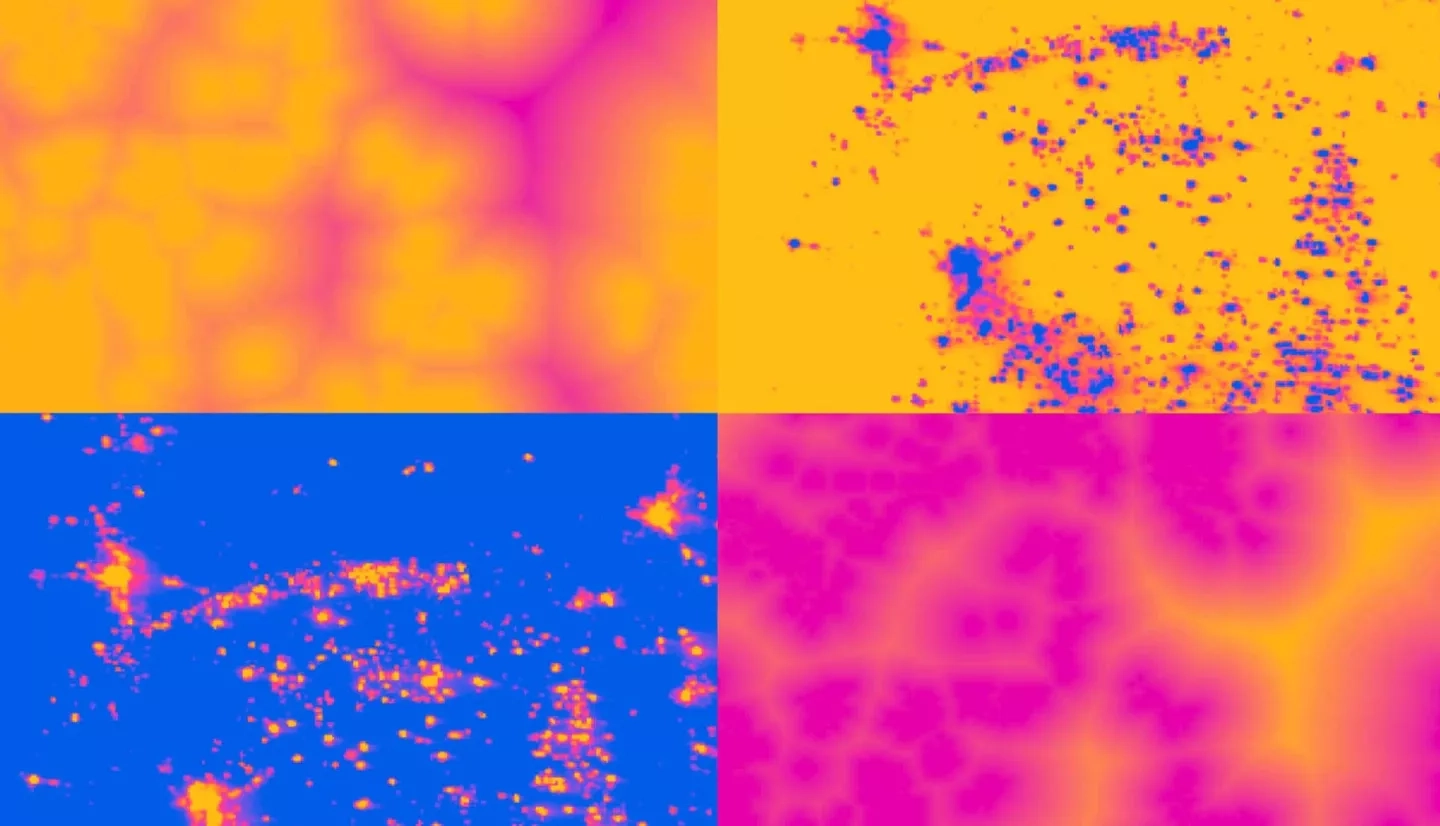
With the increasing cost and declining availability of fossil fuels, renewable energy, specifically wind power, has become one of the fastest growing sources of energy in New Mexico. To assist with the goals set by the state's Renewables Standard Portfolio established in 2004, the NASA DEVELOP team created three Optimal Wind Farm Suitability maps that consider social impact, ecological impact, and power production efficiency. Along with the National Renewable Energy Laboratory (NREL), project partners included the New Mexico Energy, Minerals & Natural Resources Department's Energy Conservation & Management Division (ECMD), and New Mexico Department of Game and Fish (NMDGF). The team utilized datasets from February 2013 – May 2018 including NASA Earth observations from the Shuttle Radar Topography Mission (SRTM) and Suomi National Polar-orbiting Partnership (NPP) to take into account vulnerable species, average wind patterns, and US Air Force Base locations. These three maps were combined into a final suitability map for optimal wind farm placement. Fuzzy Logic modeling was implemented to identify areas of low social and ecological impact and of high wind power productivity. The Land-Use Conflict Identification Strategy (LUCIS) combined the Fuzzy Logic model outputs to predict regions that may be overall suitable for wind farms.