Hawai‘i Island Disasters (Fall 2021)
Team: Garren Kalter (Project Lead), Rose Eichelmann, Sanketa Kadam, Erin Azuma, and Anna Mikkelsen
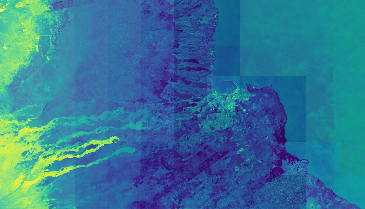
Summary: As the County of Hawai‘i faces an increased risk of extreme flooding events, sea-level rise, and other hazards associated with climate change, the need for building geospatial capacity to make better-informed decisions is critical. The County of Hawai‘i and Arizona State University partnered with NASA DEVELOP to complete a macro-scale risk analysis for the island of Hawai‘i analyzing flooding, land cover, vulnerability, and exposure factors using Earth observations and socio-economic data. The team assessed the variation in urban coastal vulnerability around the entire island of Hawai‘i, using satellite imagery of coastal land cover typology from satellite products such as Landsat 8 Operational Land Imager (OLI), Landsat 7 Enhanced Thematic Mapper Plus (ETM+), and Sentinel-1 Synthetic Aperture Radar (SAR). The team made a sharable geodatabase containing datasets modeling vulnerability to coastal flooding as well as the Hawai‘i Flood Risk Toolbox (HiFloRT) which contains multiple tools for the County to map land cover, extreme rainfall and flood extent across the Island. The end products will allow the County of Hawai‘i to establish a protocol and standard framework for the utilization of Earth observations in future planning.


