Northeast US Ecological Forecasting (Fall 2021)
Team: Rebecca Ohman (Project Lead), Chloe Birney, Anthony Bowman, Scarlet Jackson, and Margaret Jaenicke
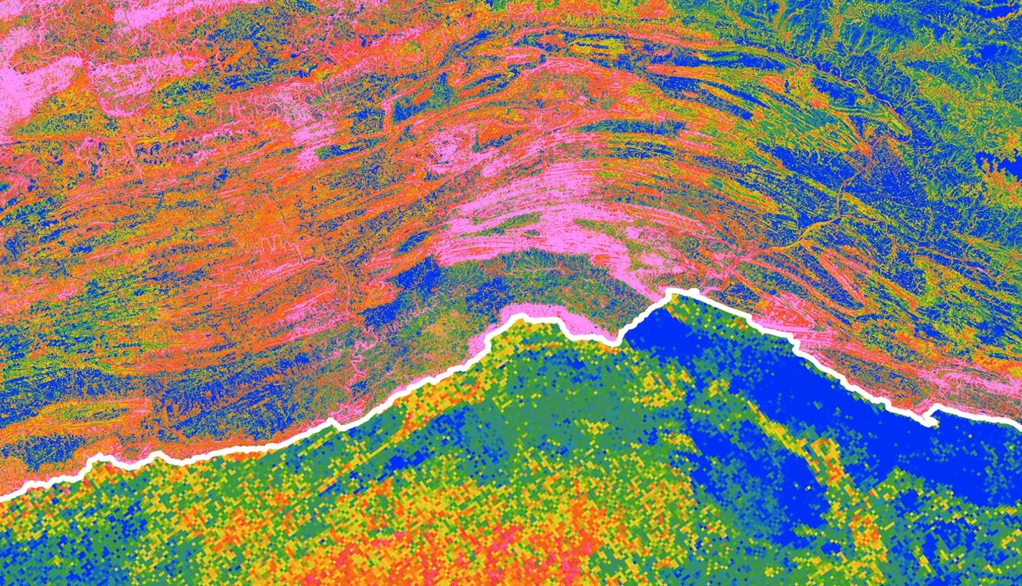
Summary: Invasive plant species threaten environmental and economic interests when they spread into new areas, outcompete native species, and disrupt ecosystem services. If the spread is not controlled early, species can become well-established and increasingly difficult to manage. The National Park Service (NPS) Invasive Plant Management Teams (IPMTs) strive for an “early detection, rapid response” approach to reducing invasive species spread. Management teams can better prioritize their work with the help of species distribution models (SDMs), which map habitat suitability by combining species occurrences with environmental predictor variables. Scarce invaded range data for newly arrived invasive species presents a particular challenge for producing accurate models. To improve future modeling efforts, this project compared SDM methods using different spatial scales to model two plant species invasive to the Northeast US: the well-established Japanese stiltgrass (Microstegium vimineum) and newer invasive species wavyleaf basketgrass (Oplismenus undulatifolius). The team used NASA Earth observations and climate datasets to model occurrence data and predictor layers at a US-specific extent (90m2 spatial resolution) and global extent (1 km2 spatial resolution). Landsat 5 Thematic Mapper (TM), Landsat 7 Enhanced Thematic Mapper Plus (ETM+), and Landsat 8 Operational Land Imager (OLI) provided data for US Normalized Difference Moisture Indices (NDMI), while global NDMI and topographic predictor layers were derived from Shuttle Radar Topography Mission (SRTM) and Terra Moderate Resolution Imaging Spectroradiometer (MODIS). The resulting models indicated important predictor variables for each species and explored the benefits and tradeoffs of using global data to model habitat suitability for new-arrival invasive species.
Deliverables:


