Imagen
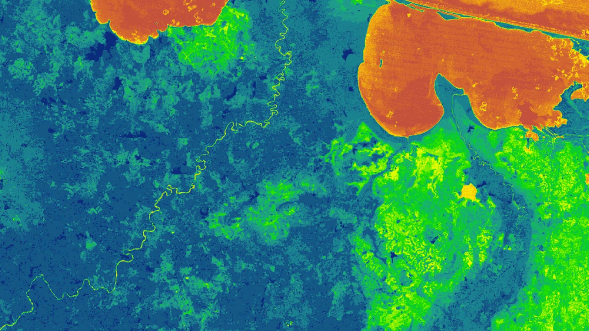

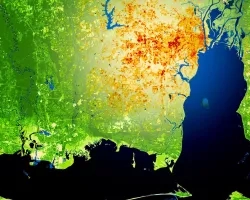
The Instituto de Conservación Forestal (ICF) in Honduras is in charge of managing and conserving millions of acres of public and privately-owned forest, including the pristine Río Plàtano Biosphere Reserve. Although one of ICF's main goals is forest conservation, illegal deforestation in Río Plàtano accounts for 11% of the total Honduran deforestation. These changes are devastating for the delicate ecosystem, endangered species, and to the indigenous population. The ICF currently has limited resources and staff to continuously monitor and assess forest change and local disturbances. NASA DEVELOP partnered with ICF to create a user-friendly Forest Change Detection Tool in Google Earth Engine API. The team analyzed various data sets, including Landsat 7 ETM+, Landsat 8 OLI, and Sentinel-2 MSI, and investigated methods to detect small to moderate forest disturbances. Additionally, the team used in situ data provided by ICF to cross-reference pre-existing forest changes. The Google Earth Engine API user interface displays changes in the Normalized Difference Vegetation Index (NDVI), Relative Greenness, and the Enhanced Vegetation Index (EVI) to detect the area with a high probability of deforestation. This tool will create a near cloud-free composite used to produce a map of deforestation across the area. The tool creates monthly results that can be used by ICF scientists to aid in conservation and mitigation efforts.