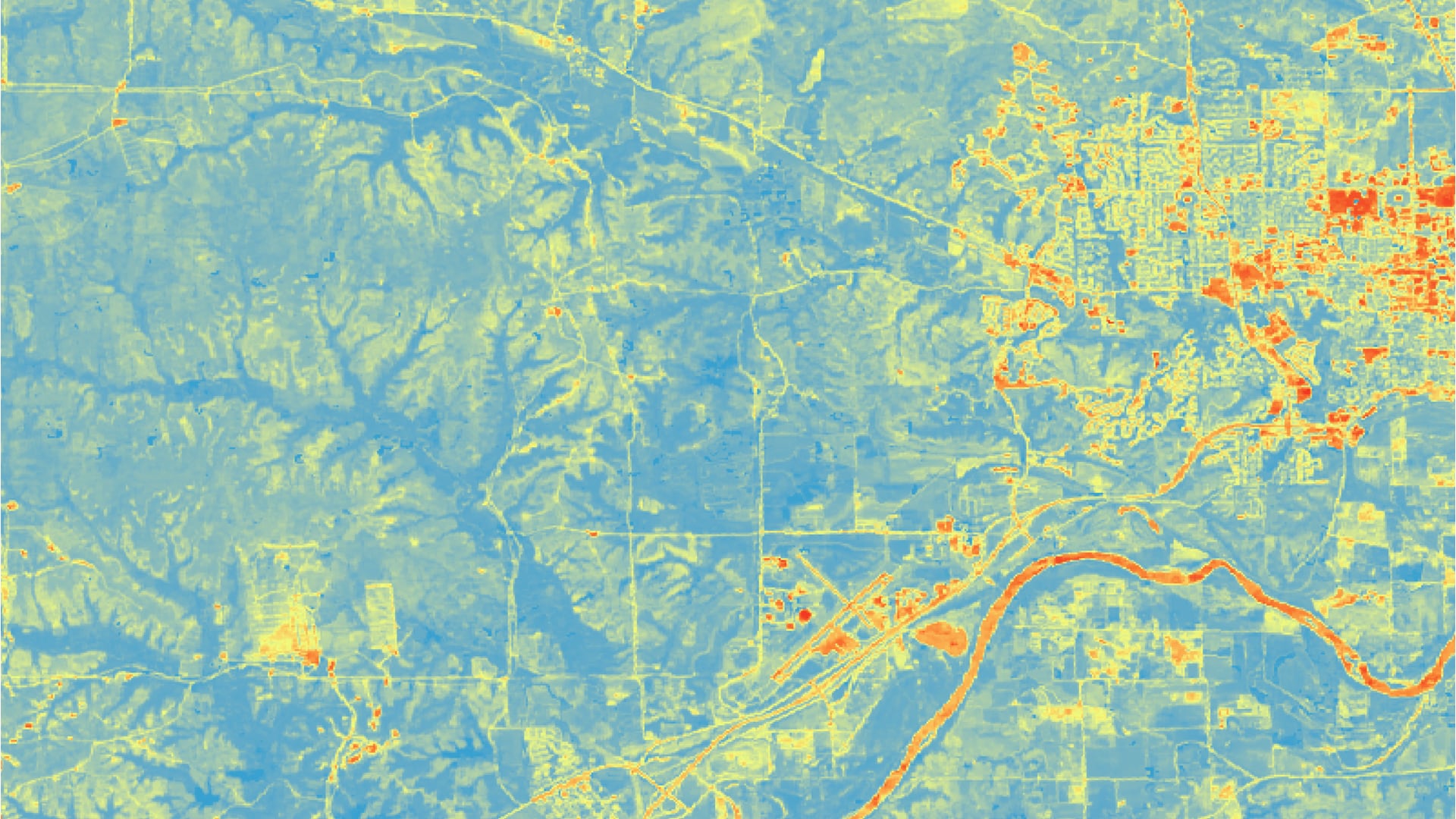
Riley County, Kansas, has observed increased levels of flooding, potentially due to changes in land use/land cover (LULC) and seasonal vegetation variation. This study contrasts two methods of generating runoff curve numbers (CN) from 2006-2020. (1) The traditional Soil Conservation Service CN calculation method uses a look-up table and tracked LULC to determine runoff changes. These tables allow for land cover-specific CN and account for various farming techniques but lack flexibility in calculations for various seasons or plant health. (2) A dynamic method employs normalized difference vegetation index (NDVI) compiled over the rainy season each year to calculate CN using seasonal vegetation. This method allows for a more precise analysis of runoff variability within and between rainy seasons because it can be updated with greater temporal detail and captures higher spatial resolutions by using NDVI as a proxy for LULC. This study further uses inputs from the United States Geological Survey (USGS) National Land Cover Database (NLCD), the United States Department of Agriculture (USDA) Cropland Data Layer, and Landsat imagery to create more precise LULC raster datasets including both urban cover and crop-specific land use and curve number maps of the area. Results can guide decision makers in the City of Manhattan, Riley County Department of Planning and Development, Riley County Conservation District, the Kansas Forest Service, and the Kansas Department of Health and Environment toward informed decisions on resiliency strategies to address future flooding.


