Imagen
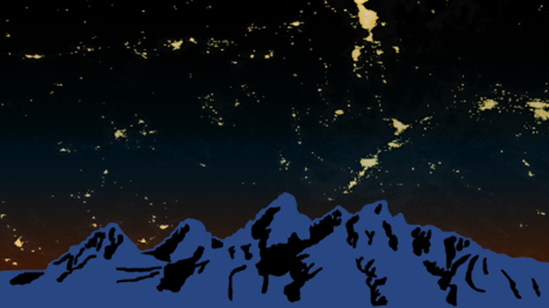
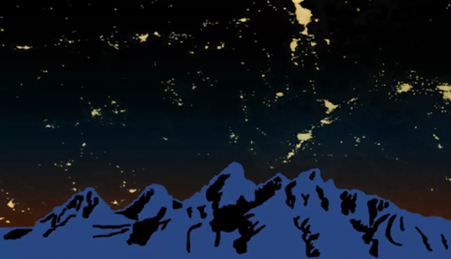
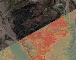
As more outdoor lighting is installed for safety and development, light pollution has become a growing problem that threatens the quality of life for humans and wildlife. The onset of light pollution in cities and dark sky areas not only hinders humans from seeing the stars and the Milky Way but also has been linked to health disorders in humans and behavioral changes in flora and fauna. Park officials are Grand Teton National Park are concerned about light pollution's impacts on visitor experience and the environment. Thus, in collaboration with the National Park Service and Wyoming Stargazing, our team created the Skyglow Estimation Toolbox (SET), a Python program that calculates images of artificial sky glow from the vantage point of a viewer on the ground. SET processes visible light radiance imagery collected by the Suomi National Polar-orbiting Partnership Visible Infrared Imaging Radiometer Suite Day/Night Band. By processing the pixel values in VIIRS imagery with convolution, the Toolbox applies Cinzano (2001) and Garstang's (1989) model of light propagation to create artificial skyglow maps to measure skyglow at a user-supplied viewing angle and location. We applied this program to a 300 km square buffer of our study area, GRTE, and created multi-annual composites of sky glow over the summer months (July, August, and September) of 2014, 2015, and 2016. With further development and model validation, SET will help government officials and communities quantify the impact of light sources to their night skies and will help inform decisions regarding lighting ordinances in nearby Teton County.