EO-Enabled Food Security Dashboard to Close Critical Data Gaps in Highly Food Insecure Maui County
Team: Hannah Kerner (Arizona State University), Catherine Nakalembe (University of Maryland), Ivan Zvonkov (Arizona State University), Gabriel Tseng (McGill University)
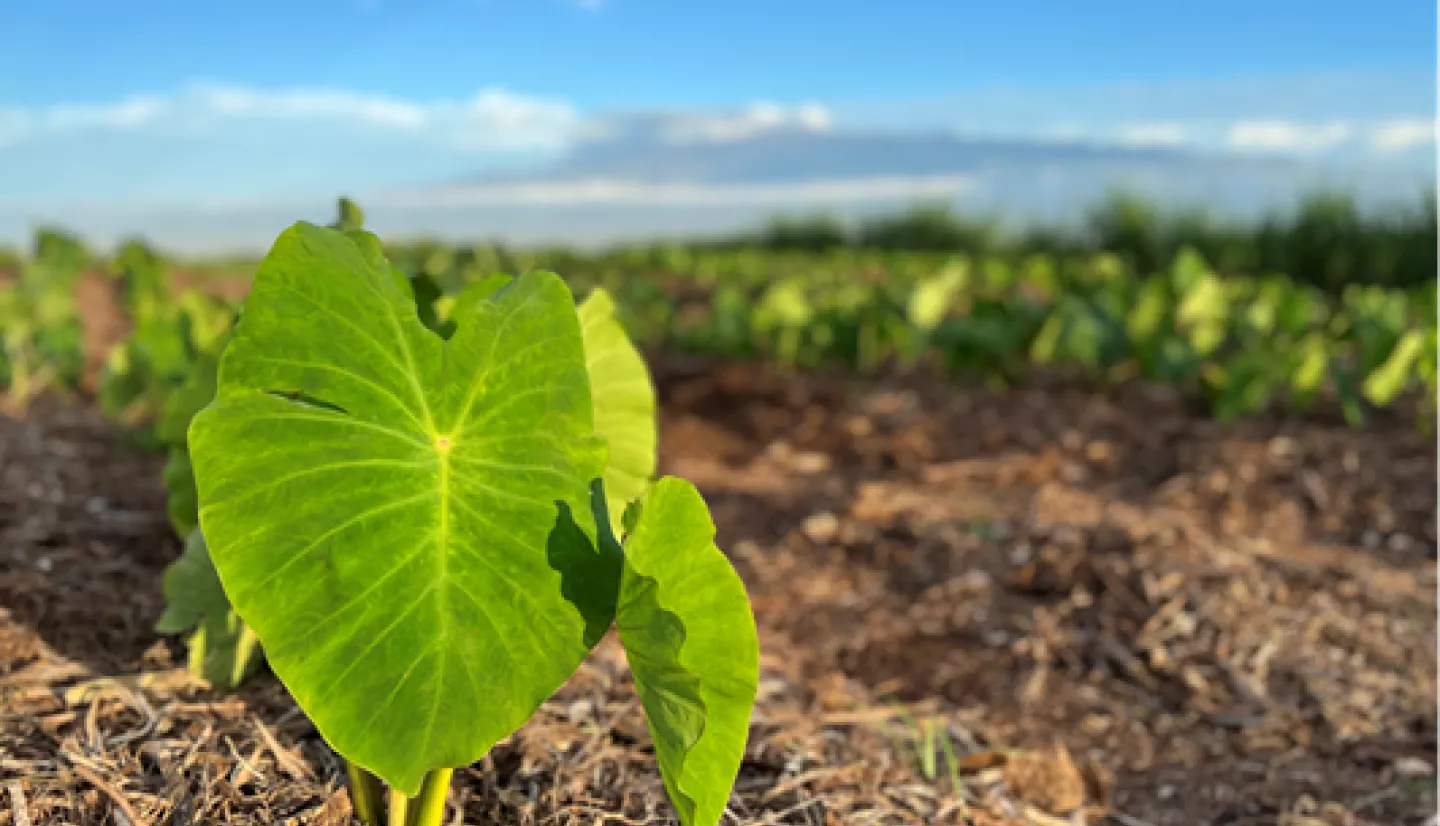
Executive Summary: The Hawaiian islands are one of the most isolated populated lands in the world. Tri-island Maui County, which includes the islands of Maui, Lāna‘i, and Moloka‘i, is particularly vulnerable to food shortages due to high reliance on agricultural imports and supply ships. Despite having a year-round growing season, only 15% of the food consumed locally is produced in Hawai’i. High food costs and food insecurity disproportionately impact lower-income residents. Food insecurity in Maui County is a key equity and environmental justice (EEJ) issue as small-scale, indigenous farmers that produce food for local consumption have been historically marginalized in state and national policies and investments, stifling their production of native crops and consequently their livelihoods.
The goal of this project is to integrate datasets derived from Earth observations (EO) into a Food Security Dashboard that will focus on supporting small-scale, independent, and indigenous farmers in Maui County to support the county’s and state’s economic diversification and sustainability goals. This project is a partnership between team members at the University of Maryland and community-based institutions including Responsible Markets and non-profit Maui United Way who have been active in addressing key EEJ issues that would benefit from insights offered by NASA Earth Science information in Maui County.
Our overall objective is to create new datasets for measuring and monitoring agricultural production in Maui County using EO data and integrate these EO-derived products with other relevant datasets (e.g., socioeconomic and price data) into a public, interoperable, GIS-enabled Food Security Dashboard to serve community decisions and actions, thereby advancing the integration of Earth science, geospatial, and socioeconomic information for EEJ communities.
The agricultural datasets produced by this project using satellite Earth observations data will fill critical gaps in the knowledge of agricultural production at all scales across the county. The integration of these and other relevant datasets into a public Food Security Dashboard will enable decision-makers and members of the Maui County community to continuously monitor the status and conditions of crops grown locally and develop policies and programs to boost production by small and indigenous farmers in a sustainable and culturally appropriate way.