Imagen
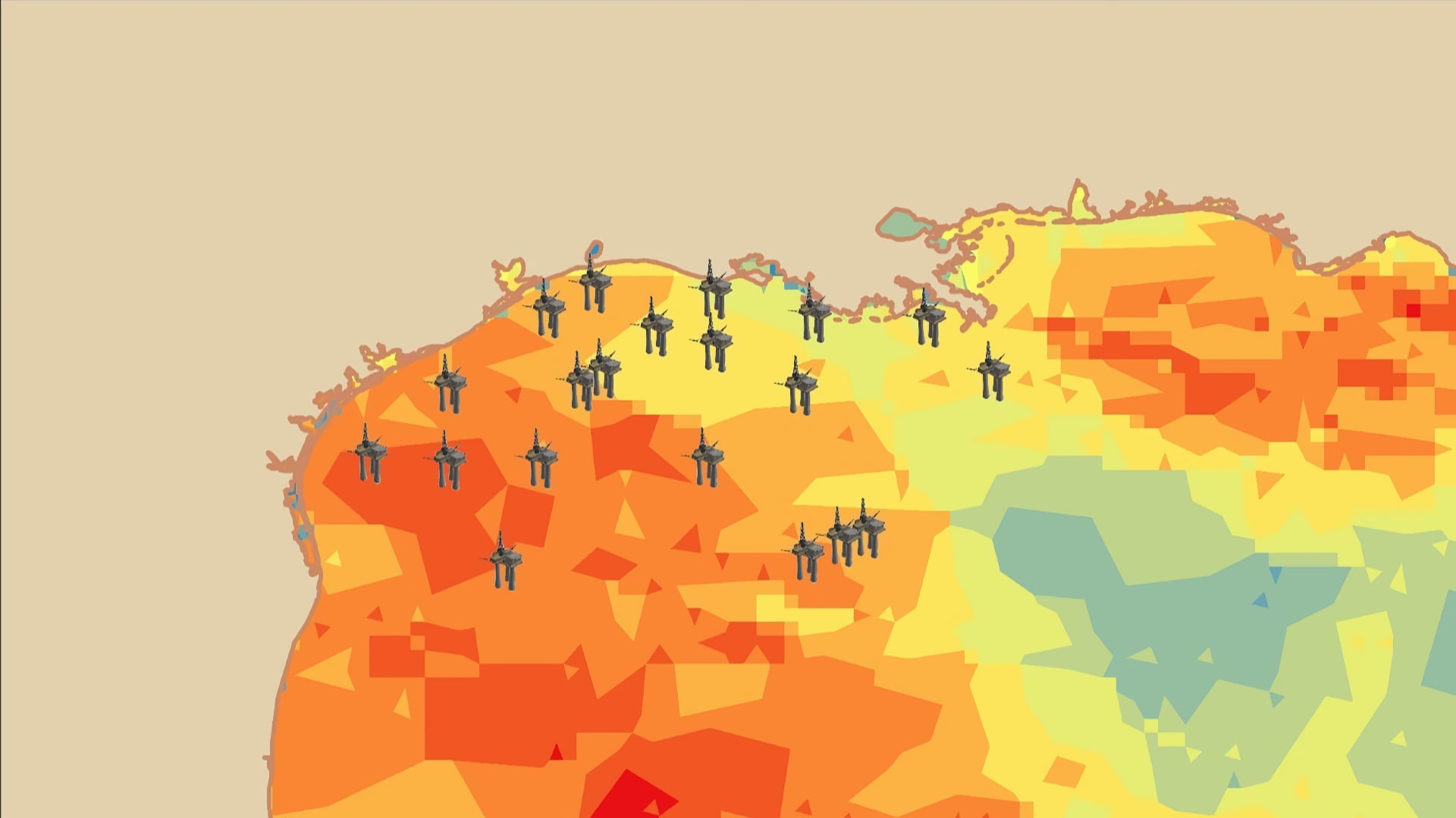
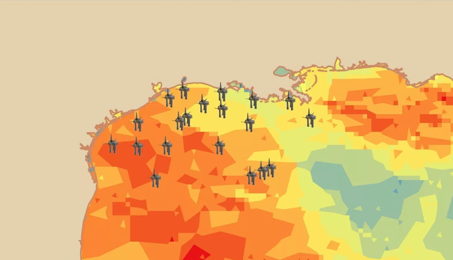
In recent years, the Gulf of México (GoM) has gained national attention for its significant contributions to the country’s overall oil supply – the area today accounts for 17% of all US oil production. The production and availability of such oil resources is threatened when tropical storm systems enter the GoM. Oil and natural gas rigs, transportation pipelines, processing plants, and other energy infrastructure in the expected path of a tropical storm are often shut down, effectively halting production. In an effort to assess and mitigate the impact of tropical storms on such infrastructure, the fall 2018 NASA DEVELOP Gulf of México Transportation and Infrastructure team partnered with the Bureau of Ocean Energy Management (BOEM) to analyze the dynamics of wind and wave-intensity during tropical storm events. The team created maps of wind and wave conditions using data collected by the Cyclone Global Navigation Satellite System (CYGNSS) constellation and the National Oceanic and Atmospheric Administration’s (NOAA) WaveWatch III (WW3). The project compared and validated CYGNSS measurements using Modern-Era Retrospective Analysis for Research and Applications, Version 2 (MERRA-2) and NOAA’s National Data Buoy Center (NDBC) wind data. The team found that CYGNSS wind speeds have an average error of 2.3247ms-1 for randomized days of March through August 2018 when compared to buoy data. This information can assist BOEM in identifying possible impacts to energy infrastructure during tropical storm events and provide guidance for future infrastructure placement sites.