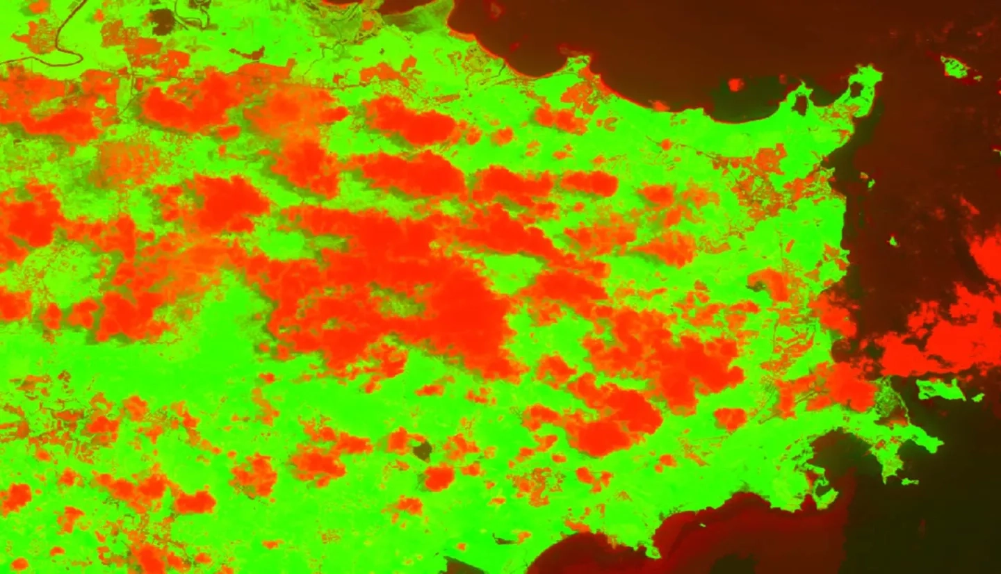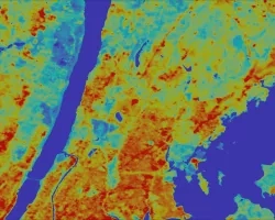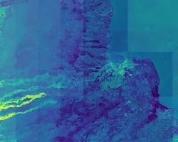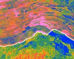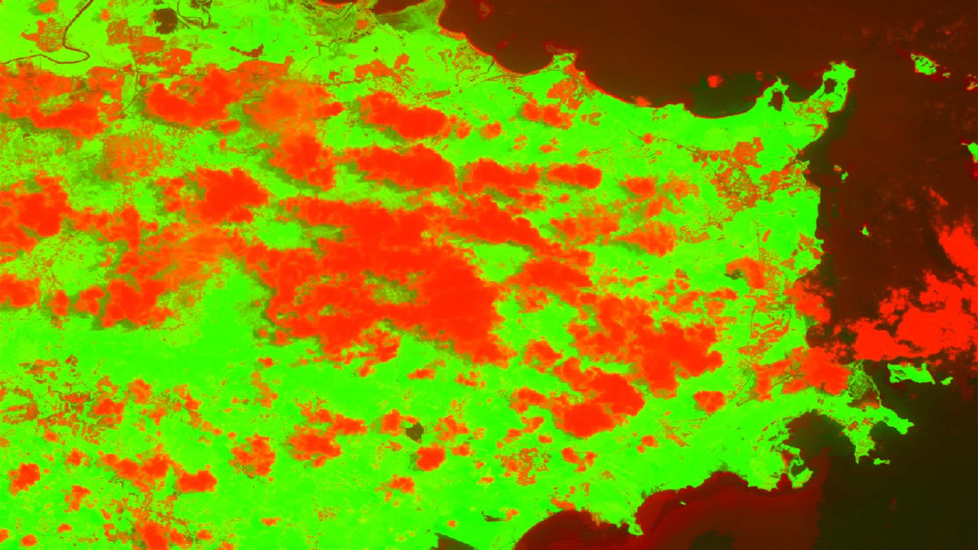
The Luquillo Mountains in the El Yunque National Forest contain the most biologically diverse forest in the United States. It is a cloud forest rich in endemic species and its streams bring clean water to the people of Puerto Rico. This unique environment was exposed in the aftermath of Hurricane Maria, which devastated Puerto Rico during its landfall on September 20th, 2017. One of the numerous effects hurricane Maria had on the landscape was substantial defoliation of the forest within the Luquillo Mountains. Large scale defoliation events have been linked to changes in the physical environment as well as cloud formations potentially related to a decrease in evapotranspiration (ET) rates from vegetation. This project investigated how hurricane Maria impacted cloud dynamics in the Luquillo Mountains. It is known that relatively small changes in cloud base height (CBH) can have a drastic impact on the flora and fauna of the area that have evolved to live in near constant cloud immersion. The team utilized Cloud-Aerosol Lidar and Infrared Pathfinder Satellite Observation (CALIPSO) data to determine CBH over the study area and calibrated it against the theoretical CBH from radiosonde data. We also used Terra Moderate Resolution Imaging Spectroradiometer (MODIS) cloud mask data to analyze changes in cloud coverage pre- and post- Maria. This work provides the US Forest Service International Institute for Tropical Forestry (IITF) with an estimated change in CBH and cloud distribution before and after Maria that can be incorporated to IITF's management plans.
