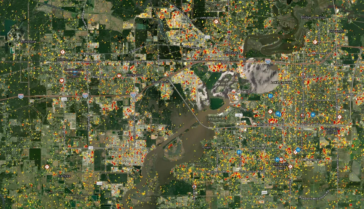
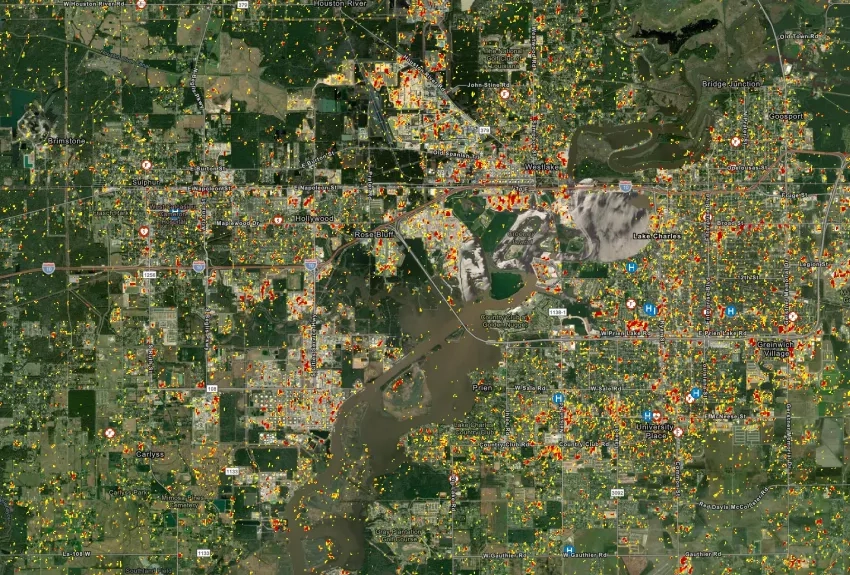
The moments immediately following a disaster are crucial to a swift recovery, yet it can be difficult for first responders to find reliable disaster information with such a tight timeframe. Sang-Ho Yun’s research project aims to provide rapid mapping of disaster damage using synthetic aperture radar (SAR). Rapid mapping is the prompt analyses of observations from SAR satellites in the aftermath of a disaster. Currently, SAR is used for rapid mapping after hazards such as earthquakes, volcanoes, hurricanes, wildfires, landslides, and more. Yun’s project will automate a worldwide mapping system to produce, validate, and deliver damage proxy maps (DPMs) – maps derived from SAR data – and ground deformation maps to responding agencies around the world. These rapidly produced maps provide responders with information on building damage, surface change, and more to ensure a quick and efficient recovery from disasters. As the DPM system matures, the team aims to enable maps to be available within 24 hours of data acquisition. In the future, Yun’s team plans to produce product delivery pipelines and host tutorial webinars for disaster application response and recovery.
Full Project Description
Rapid mapping of natural disasters is of financial and humanitarian importance. Radar is an ideal tool for this, as it sees through clouds and can image day and night. The number of spaceborne synthetic aperture radar (SAR) sensors is increasing: anywhere on Earth, the first SAR satellite will overpass the affected area in less than 12 hours of a disaster occurrence.
Our team has seven years of experience using SAR data for rapid post-disaster mapping following earthquakes, hurricanes, volcanic eruptions, and wildfires, from proof-of-concept for the 2011 Christchurch earthquake in New Zealand to a functioning prototype for the 2018 Fuego volcano eruption in Guatemala. We have learned lessons on how we can better respond to future events.
In the course of our work, we will address these, and complete automation of a system that will rapidly produce, validate, and deliver damage proxy maps — DPMs are maps derived from SAR data — and ground deformation maps to responding agencies around the world. These DPMs can indicate building damage and surface change due to natural disasters. By maturing the system, we aim to deliver these maps within 24 hours of data acquisition.
We will first focus on building and automating the DPM and tools for three SAR missions. This work opens the potential to explore additional tools such as translation of DPMs into a building damage ratio (that is, the cost of damage repair), and a post-disaster construction monitoring tool to support post-disaster needs assessments and recovery efforts. We will host tutorial webinars for disaster application response and recovery team partners and end-users. Then we will build product delivery pipelines collaborating with end-users. The toolbox will be designed to scale with more advanced algorithms and new missions as they deploy.