Team Members: Theresa Foley (Sonora Environmental Research Institute), Palmira Henriquez (Sonora Environmental Research Institute), Flor Sandoval (Sonora Environmental Research Institute), Rachel Spitz (Sonora Environmental Research Institute), Ann Marie Wolf (Sonora Environmental Research Institute)
Executive Summary: Economically disadvantaged communities are disproportionately affected by environmental problems such as pollution, water scarcity, and rising temperatures. The Sonora Environmental Research Institute, Inc. (SERI) is an environmental justice organization that has been working in Tucson, Arizona and the Arizona-Mexico border region since 1994. SERI's environmental justice projects include a low income rainwater harvesting program; evaluation of the safety of harvested rainwater, and tree planting in economically disadvantaged Tucson communities.
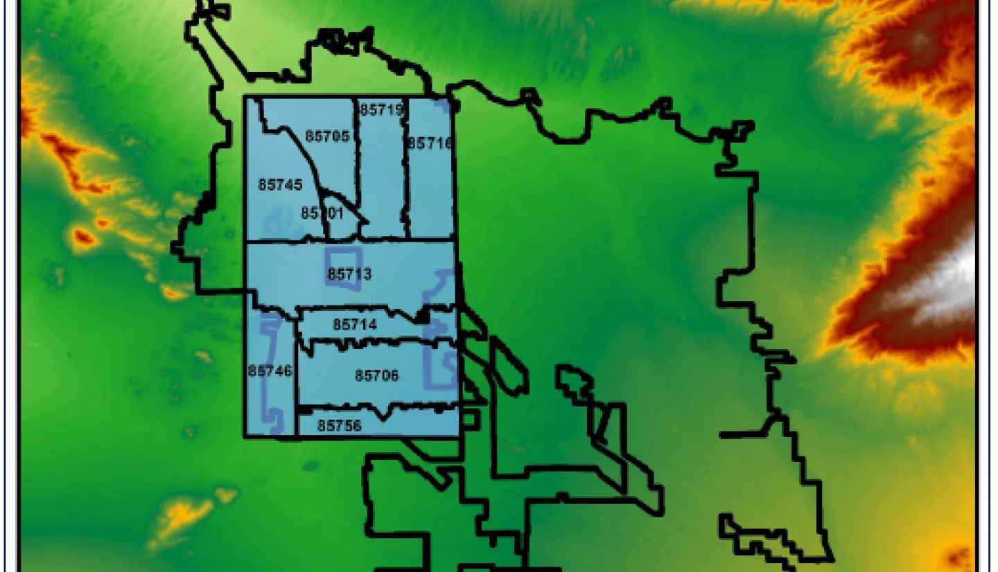
To guide its environmental justice research, SERI needs high resolution precipitation data. For example, SERI staff use the annual precipitation rate to calculate the correct cistern size for a rainwater harvesting system. Precipitation data also help inform the selection of drought resistant tree species for the SERI tree planting programs. Direct measurement of precipitation with rain gauges is costly, and provides only site specific information. Indirect precipitation measurement from satellites such as Global Precipitation Measurement (GPM) sensors provides consistent information over larger areas. In this project, SERI is downscaling GPM products such as Integrated Multi-satellitE Retrievals for GPM (IMERG) to obtain higher resolution precipitation data for an environmental justice community in Tucson. SERI is using 1 km, Moderate Resolution Imaging Spectroradiometer (MODIS), Normalized Difference Vegetation Index (NDVI) data, and linear regression and geographically weighted regression to downscale the satellite data. SERI is also using ordinary kriging of the residuals, and inverse distance weighting to create a raster surface of the rain gauge data. The 45 square km, environmental justice study area has a high poverty rate and a low percentage of green space. To access the unscaled and scaled validation measures of bias, precision, and accuracy of satellite measurements, SERI is deploying a network of approximately 160 rain gauges operated by citizen scientists who live within the study area. They have aimed to recruit Spanish speaking and low income citizen scientists who normally do not participate in citizen science programs, and who may be unaware of the potential of NASA earth science data or STEM careers. Ultimately, the detailed information on rain distribution in Tucson, will assist SERI’s low income rainwater harvesting and tree planting programs.